Understanding Static GNSS Techniques and Products for Geospatial Applications
This educational material provides insights into static GNSS techniques, products, and their societal benefits. It covers topics such as distinguishing static GNSS techniques, understanding different products, and the capabilities of static GNSS stations. The content explores the Network of the Americas (NOTA) project and discusses the possibilities of static GNSS products in tracking minute changes in spatial positions for various geospatial applications, including monitoring plate motions, deformation due to natural phenomena, and seismic activities.

Download Presentation

Please find below an Image/Link to download the presentation.
The content on the website is provided AS IS for your information and personal use only. It may not be sold, licensed, or shared on other websites without obtaining consent from the author. Download presentation by click this link. If you encounter any issues during the download, it is possible that the publisher has removed the file from their server.
E N D
Presentation Transcript
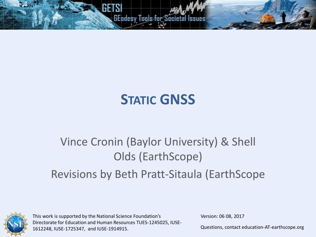
STATIC GNSS Vince Cronin (Baylor University) & Shell Olds (EarthScope) Revisions by Beth Pratt-Sitaula (EarthScope This work is supported by the National Science Foundation s Directorate for Education and Human Resources TUES-1245025, IUSE- 1612248, IUSE-1725347, and IUSE-1914915. Version: 06 08, 2017 Questions, contact education-AT-unavco.org Questions, contact education-AT-earthscope.org
MOTIVATIONSFORTHIS LECTURE 1. Distinguish static GNSS techniques from others 2. Distinguish static GNSS products from others 3. Outline societal benefits (Image: Ben Crosby)
STATIC GNSS TECHNIQUES Long-duration occupations over well-monumented marks Permanent stations are fixed using deep anchors and run continuously Campaign stations are revisited infrequently (~1/year) and occupied for 8 to 48 hours Data is always differentially corrected in post-processing using data from other nearby GNSS stations Low Precision: OPUS High Precision: GAMIT, GLOBK, and TRACK Highest quality antennas and receivers
STATIC GNSS STATIONS > 20,000 static stations with more added all the time Some data freely available, some not GNSS = Global Navigation Satellite System
NETWORKOFTHE AMERICAS (NOTA) NOTA involves installation, operation, and maintenance of >1100 continuously operating high-precision GPS stations (plus >170 other instruments: strainmeters, borehole seismometers, and tiltmeters)
WHATIS POSSIBLEWITH STATIC GNSS PRODUCTS Spatial positions within a few millimeters. Requires intensive, high-precision processing Thus . . . can track very small changes Plate motions Deformation due to hydrology Snow or reservoir loading Groundwater withdraw Deformation due to volcanic activity Pre-eruption doming Caldera collapse Earthquake motions Slow slip and coseismic deformation
WHEREISTHAT CHUNKOF CRUST GOING? Example: Using GPS velocities to understand plate motions Two NOTA stations in California Twenty-nine Palms,(BEMT) Mission Viejo (SBCC)
GPS TIME-SERIESDATA Station position over time North South East West Up Down http://www.unavco.org/instrumentation/networks/status/nota/overview/SBCC
GPS TIME-SERIES DATA From the changing position, velocity can be calculated using slope (rise-over-run) 26.8 mm/yr 510 mm north 19 years 25.0 mm/yr 475 mm west ~8 mm down ~0.4 mm/yr http://www.unavco.org/instrumentation/networks/status/nota/overview/SBCC
DETRENDED GPS TIME DATA 26.8 mm/yr 510 mm north 19 years 25.0 mm/yr 475 mm west ~8 mm down ~0.4 mm/yr NOTA also supplies detrended data with the average velocity subtracted out to observe other phenomena. In that case official velocity is given.
WHATISA SITES 3D SPEED? Using the Pythagorean Theorem (high school math...), Speed = (27.8)2 + (25.7)2 + (1.3)2 = 37.9 mm/yr
WHAT COMPASS DIRECTIONISTHE SITE MOVING? Using the horizontal components of velocity, and a bit of high school trigonometry North = tan-1(25.7/27.8) = 42.8 42.8 west of north or 317.2 azimuth 27.8 mm/yr West 25.7 mm/yr
MAPOF VELOCITY 20 mm/yr
TWO DIFFERENT VELOCITIES 20 mm/yr Same process yields much slower velocity at BEMT
REFERENCE FRAMES All velocities are RELATIVE to a given reference frame Velocities compared to International Terrestrial Reference Frame 2008 (IGS08 is GPS reference frame name) Hot spot constellation as stable
REFERENCE FRAMES All velocities are RELATIVE to a given reference frame Velocities compared to stable North America (called NAM08 reference frame) Eastern North America as stable
SOCIETAL BENEFITS Static GNSS data are used in a wide variety of surface deformation applications. Some are directly supporting human needs Tracking hazardous features such as landslides, faults, or volcanos Tracking changes in water resources Some are indirectly providing insight into the way the earth works Plate motions Discovering new faults Some static, continuous sites are used for corrections to other GNSS data, aiding industry.
SOCIETAL VALUEOF GNSS-ENABLED RESEARCH Most people use it for location and navigation, but how do earth scientists use GNSS? Think-Pair-Share discussion How do earth scientists use GNSS? List as many applications as you can. How do these uses benefit society? Categorize each as a direct or indirect benefit. Direct benefits are immediate and improve lives Indirect benefits help humans, but are a few steps removed
SOCIETAL VALUEOF GNSS-ENABLED RESEARCH Most people use it for location and navigation, but how do Earth Scientists use GNSS? How do earth scientists use GNSS? (type student applications here) How do these uses benefit society? Direct (type student benefits here) Indirect (type student benefits here)


")