Advanced Considerations for Marine Spatial Data Infrastructures Enhancement
Exploring the expectations and requirements of the new Working Environment and Navigation Safety Group (WENSWG) through a Marine Spatial Data Infrastructures (MSDI) perspective. Topics encompass the principles to be covered, audience considerations including safe navigation and e-navigation, dataset discussions, distribution methodologies, and the importance of data quality standards. The focus is on enhancing navigational safety and efficiency in marine environments.

Download Presentation

Please find below an Image/Link to download the presentation.
The content on the website is provided AS IS for your information and personal use only. It may not be sold, licensed, or shared on other websites without obtaining consent from the author. If you encounter any issues during the download, it is possible that the publisher has removed the file from their server.
You are allowed to download the files provided on this website for personal or commercial use, subject to the condition that they are used lawfully. All files are the property of their respective owners.
The content on the website is provided AS IS for your information and personal use only. It may not be sold, licensed, or shared on other websites without obtaining consent from the author.
E N D
Presentation Transcript
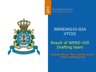
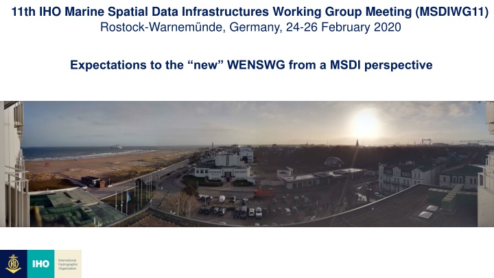
11th IHO Marine Spatial Data Infrastructures Working Group Meeting (MSDIWG11) Rostock-Warnem nde, Germany, 24-26 February 2020 Expectations to the new WENSWG from a MSDI perspective
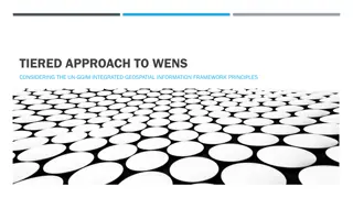
What should the new WENS principles cover? Who is the audiences, safe navigation, SOLAS, non navigation, e-navigation? => Several requirements for WENS In the future services and/or principles? A Tier1 and/or Tier2 approach, Tier XX => We need to define different Tiers We should follow the UNGGIM IGIF Strategic Pathway Principles if possivle Will all wend principles be usable for all data e.g. metrological data => do we instead need to have a differential approached to the principles?
Hydrographic datasets: Principle discussion about the hydrographic datasets and other datasets needed Which datasets should be included in WENS principles? A MSDI contains between 100 to 300 different datasets Is the datasets listed below enough? Additional S-1xx Product Specifications: (from the S-100 IMPLEMENTATION STRATEGY) S-101 Electronic Navigational Chart (ENC) S-102 Bathymetric Surface S-104 Water Level Information for Surface Navigation S-111 Surface Currents S-122 Marine Protected Areas S-123 Radio Services S-124 Navigational warnings S-129 Under Keel Clearance Management The status of datasets: It will be important to be able to distinguish between authoriative datasets and other datasets Providers of datasets: Many agencies will be providers of different datasets, and it will differ from country to country
The need for new and different distribution methods: The nature of different datasets needs different distribution methods, e.g. : Update intervals; seconds, minutes, days, weeks Arears; International, regional, national, local Different data owners Data Quality S1XX Strong recommendation to retain reference to CATZOC (Category of Zone of Confidence) as the terminology because it is well understood and replacing with Quality of Bathymetric Data levels 1 to 5 could lead to unnecessary confusion without any fundamental changes to classifications Investigate appropriate methodologies for displaying quality information Test dataset is needed for all S-1XX
Security and integrity: IHO S-63 (and S-101) relies on a specific end user system, only fit for ECDIS and S-57 Other standards exist but may need adaptation (e.g. Blockchain technology) All data integrity systems require a trust network to define identity. From the S-100 IMPLEMENTATION STRATEGY From S-100 As a result of their deliberations the noted group of offices bearers identified the following strategic fields of engagements to develop an accepted roadmap for the now called S-100 Implementation Decade: 1. Operational infrastructure 2. Technical standardization 3. Coordinated implementation of services 4. Synchronization with IMO 5. Collaboration with industry 6. Capacity Building of Hydrographic Offices 7. Development of Global Distribution Capability