Explore the key concepts and methods for autonomous vehicle localization using sensors, scan matching, and on-the-fly techniques. Learn how to determine a vehicle's location relative to landmarks or features in the surrounding landscape.
Please find below an Image/Link to download the presentation.
The content on the website is provided AS IS for your information and personal use only. It may not be sold, licensed, or shared on other websites without obtaining consent from the author. If you encounter any issues during the download, it is possible that the publisher has removed the file from their server.
You are allowed to download the files provided on this website for personal or commercial use, subject to the condition that they are used lawfully. All files are the property of their respective owners.
The content on the website is provided AS IS for your information and personal use only. It may not be sold, licensed, or shared on other websites without obtaining consent from the author.
E N D
Presentation Transcript
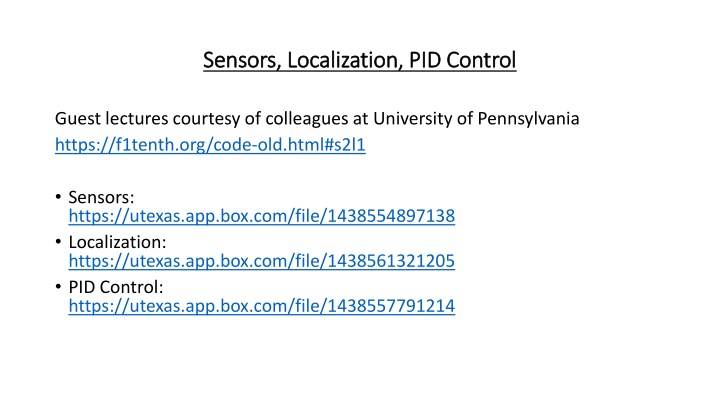
Sensors, Localization, PID Control Sensors, Localization, PID Control Guest lectures courtesy of colleagues at University of Pennsylvania https://f1tenth.org/code-old.html#s2l1 Sensors: https://utexas.app.box.com/file/1438554897138 Localization: https://utexas.app.box.com/file/1438561321205 PID Control: https://utexas.app.box.com/file/1438557791214
Localization The problem of localization is to determine one s own location on a map of the surrounding area, say in (x, y, z) coordinates An autonomous vehicle may use sensors to perform the localization task. Examples of sensors are: laser to determine distance to objects, lidar to create an image of the surrounding landscape (e.g., https://velodynelidar.com/what-is-lidar/), gyroscope to determine orientation , accelerometer to determine velocity) A simple principle to determine location is to keep track of changes of one s own location with respect to a landmark. If the landmark s location is known, then one s own location can be calculated accordingly. If the landmark s location is not known, we can still keep track of one s own velocity by successive measurements of distance to a landmark at regular time intervals. Given that the initial position at time 0 of the autonomous vehicle is known, we can compute location by computing the track of the vehicle as a function of velocity from time 0.
Localization by Scan Matching Landscape What can we do if do not have a priori known landmarks? Answer: We can create our own by selecting features of the surrounding landscape as the landmark to track while the vehicle travels forward. By scan matching the selected landscape features in successive frames, we can determine the vehicle s location relative to the landmark from instant to instant. Scan matching can be done by hypothesizing the vehicle s new location and selecting the location hypothesis that best matches the hypothesized change in location from the previous time step. Suppose the car is moving along a jagged wall at uniform speed. We use an array D(i) of size N to denote the distance to the wall various points i as the car travels along a corridor. i 1 2 3 4 5 6 7 8 9 10 11 12 D(i) 3 1 4 1 5 3 1 4 1 5 3 1 Suppose the last four measurements are <5 3 1 4 >, then the vehicle should be at point 8.
On On- -the the- -fly Landscape Matching fly Landscape Matching Suppose the car is moving down a corridor along a jagged wall at uniform speed. We use an array D(i) of size N to denote the distance to the wall as the car travels down the corridor. i 1 2 3 4 5 6 7 8 9 10 11 12 D(i) 3 1 4 1 5 3 1 4 1 5 3 1 Best Match ( i ) (1) 3 (2) 3 1 (3) 3 1 4 (4) 3 1 4 (5) 1 4 1 (6) 4 1 5 3 (7) 1 5 (8) 5 3 1 1 5 3 1 4 (9) 3 1 4 1