Bangladesh's Hydrographic Commission accomplished various milestones in 2024-2025, including updating charts, launching a marine weather app, and organizing seminars. However, challenges like dynamic conditions and turbid waters persist, requiring frequent surveys for chart updates.
Please find below an Image/Link to download the presentation.
The content on the website is provided AS IS for your information and personal use only. It may not be sold, licensed, or shared on other websites without obtaining consent from the author. If you encounter any issues during the download, it is possible that the publisher has removed the file from their server.
You are allowed to download the files provided on this website for personal or commercial use, subject to the condition that they are used lawfully. All files are the property of their respective owners.
The content on the website is provided AS IS for your information and personal use only. It may not be sold, licensed, or shared on other websites without obtaining consent from the author.
E N D
Presentation Transcript
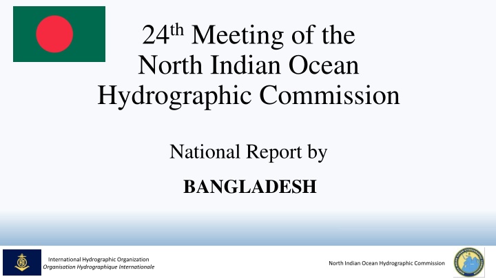
24thMeeting of the North Indian Ocean Hydrographic Commission National Report by BANGLADESH International Hydrographic Organization Organisation Hydrographique Internationale nOIGG North Indian Ocean Hydrographic Commission
MAIN ACHIEVEMENTS DURING THE YEAR Successfully conducted IHO Cat B Hydrography Course. 01 Foreign Officer attended the course 12 Paper charts and 07 ENCs were updated and distributed Encrypted ENC distribution system developed as Data Server Published Bangladesh Navy (BN) Tide Tables 2025 Published BN Annual Summary of Notices to Mariners International Hydrographic Organization Organisation Hydrographique Internationale nOIGG North Indian Ocean Hydrographic Commission
MAIN ACHIEVEMENTS DURING THE YEAR Marine Weather forecast App is launched for mariners to receive the update information Inclusion of Autonomous Survey Platform (AUV, ASV, ATSS) is underway to accomplish more challenging task in future survey operation BN organized a seminar to celebrate WHD-2024 in presence of all maritime stakeholders to highlight the importance of hydrography for national development International Hydrographic Organization Organisation Hydrographique Internationale nOIGG North Indian Ocean Hydrographic Commission
MAIN CHALLENGES AND/OR OBSTRUCTIONS Due to dynamic and deltaic condition frequent hydrographic survey is required to update nautical charts Presence of Turbid water in the coastal region possess considerable challenges in case of Multibeam data acquisition (Limited swath coverage and processing of Multibeam data is quite time consuming) Cartographers face difficulties in matching data of different survey due to rapid and constant changes of depth in coastal areas International Hydrographic Organization Organisation Hydrographique Internationale nOIGG North Indian Ocean Hydrographic Commission
PROGRESS ON SURVEYS, CHARTING AND MSI Surveys Hydrographic Survey is ongoing for the survey season 2024-2025 Processed data will be applied for updating relevant INT series and National series charts/ENCs Charting 12 National series Paper charts (01 New Chart & 11 New Edition) published 02 ENCs (New Chart) and 05 ENCs (New Edition) published All ENCs are being updated in regular interval International Hydrographic Organization Organisation Hydrographique Internationale nOIGG North Indian Ocean Hydrographic Commission
PROGRESS ON SURVEYS, CHARTING AND MSI MSI Notices to Mariners. Issued by Bangladesh Navy Hydrographic and Oceanographic Center (BNHOC) and Department of Shipping through Mercantile Marine Office (MMO) regularly Meteorological Warning. distributed by Bangladesh Meteorological Department (BMD) Meteorological warnings are prepared and NTM Distribution System. NTM is issued and distributed by Bangladesh Navy Hydrographic and Oceanographic Center (BNHOC) Mercantile Marine Office (MMO) and International Hydrographic Organization Organisation Hydrographique Internationale nOIGG North Indian Ocean Hydrographic Commission
PROGRESS ON SURVEYS, CHARTING AND MSI MSI NAVTEX Coverage. India as part of NAVAREAVIII Transmitted with the help of NAVAREA coordinator Website for NTM and other Warnings. including the Notices to Mariners are available in the website of BNHOC (www.bnhoc.navy.mil.bd) and (https://mmd.gov.bd/) All updated warnings Mercantile Marine Office International Hydrographic Organization Organisation Hydrographique Internationale nOIGG North Indian Ocean Hydrographic Commission
CAPACITY BUILDING Contribution Ser Name of Training Duration (weeks) 24 Number of Student 1. 18thBasic Hydrographic Course (CAT B)- 2024 07 (Including 01 Foreign participant) 16 12 07 2. SR-II 'Q' 2024 3. SR-III 'Q' 2024 4. 2nd Paper Chart Refresher Course 2024 25 23 06 International Hydrographic Organization Organisation Hydrographique Internationale nOIGG North Indian Ocean Hydrographic Commission
CAPACITY BUILDING Request forSupport CategoryAtraining in Hydrography Category B training in Hydrography and Cartography Conversion Training (S-57 to S-101) Establishment of MSDI (Marine Spatial Data Infrastructure) International Hydrographic Organization Organisation Hydrographique Internationale nOIGG North Indian Ocean Hydrographic Commission
OCEANOGRAPHIC ACTIVITIES General Bangladesh Navy Hydrographic Department (BNHD) is conducting oceanographic survey in limited scale by using available platforms and equipments BNHD has taken initiative to develop an Oceanographic Database on various seabed sample and seawater properties BNHD facilitates sampling and necessary assistance to all maritime R&D organizations, educational institutes and universities to collect oceanic data for research activities International Hydrographic Organization Organisation Hydrographique Internationale nOIGG North Indian Ocean Hydrographic Commission
OCEANOGRAPHIC ACTIVITIES Tide Gauge Network Bangladesh maintains a tidal network of more than 25 tidal stations along the coastal belt of Bangladesh Installations of 04 in number Radar based Automatic Tide Gauges with GSM Telemetry facilities is in progress by Bangladesh Navy and more will be added in future Figure: Tidal Network International Hydrographic Organization Organisation Hydrographique Internationale nOIGG North Indian Ocean Hydrographic Commission
OTHER ACTIVITIES Environmental Protection Marine Reserve Area (MRA) and Marine Protected Areas (MPA) are well demarcated in BD charts Bangladesh Navy and Bangladesh Coast Guard vessels regularly monitors the marine pollution and ensure compliance Fig: MRA and MPA International Hydrographic Organization Organisation Hydrographique Internationale nOIGG North Indian Ocean Hydrographic Commission
OTHER ACTIVITIES Environmental Protection 02 in number Fishing charts has been circulated to all fishing vessels operated within jurisdiction of Bangladesh maritime water for better supervision and monitoring MSDI Progress Conceptual phase Fig: MRA and MPA International Hydrographic Organization Organisation Hydrographique Internationale nOIGG North Indian Ocean Hydrographic Commission
CONCLUSION Required Capacity building support in Hydrographic and Cartographic field for further improvement and gain self sufficiency BNHD is ready to share her expertise and experience with other Member States for mutual benefit International Hydrographic Organization Organisation Hydrographique Internationale nOIGG North Indian Ocean Hydrographic Commission