Carbon Sequestration Sensitivity in Belgium through Land Use Changes
Explore the sensitivity of carbon sequestration to recent land use changes in Belgium using models and remote sensing techniques. The study quantifies carbon stock changes through a dynamic vegetation model based on gridded and satellite datasets from different time periods. Results show the fraction of natural vegetation in 2000 and its changes up to 2018.

Download Presentation

Please find below an Image/Link to download the presentation.
The content on the website is provided AS IS for your information and personal use only. It may not be sold, licensed, or shared on other websites without obtaining consent from the author. If you encounter any issues during the download, it is possible that the publisher has removed the file from their server.
You are allowed to download the files provided on this website for personal or commercial use, subject to the condition that they are used lawfully. All files are the property of their respective owners.
The content on the website is provided AS IS for your information and personal use only. It may not be sold, licensed, or shared on other websites without obtaining consent from the author.
E N D
Presentation Transcript
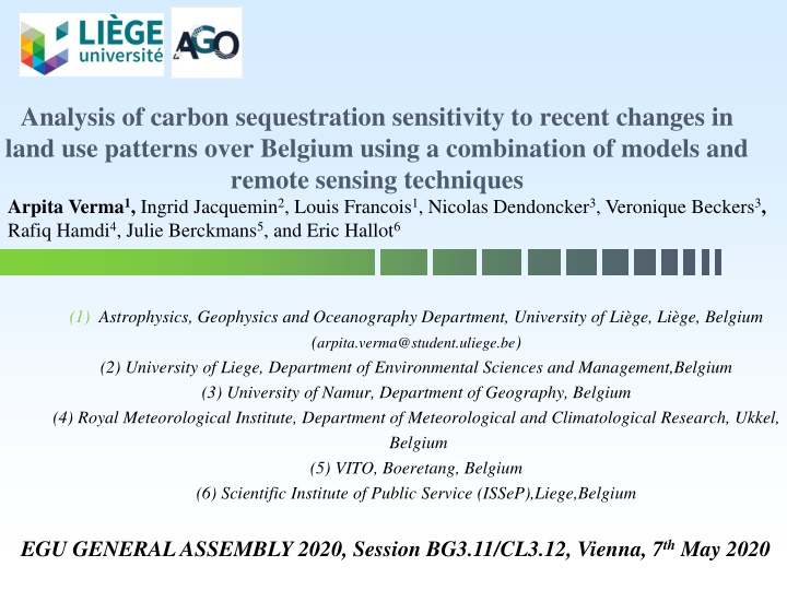
Analysis of carbon sequestration sensitivity to recent changes in land use patterns over Belgium using a combination of models and remote sensing techniques Arpita Verma1, Ingrid Jacquemin2, Louis Francois1, Nicolas Dendoncker3, Veronique Beckers3, Rafiq Hamdi4, Julie Berckmans5, and Eric Hallot6 (1) Astrophysics, Geophysics and Oceanography Department, University of Li ge, Li ge, Belgium (arpita.verma@student.uliege.be) (2) University of Liege, Department of Environmental Sciences and Management,Belgium (3) University of Namur, Department of Geography, Belgium (4) Royal Meteorological Institute, Department of Meteorological and Climatological Research, Ukkel, Belgium (5) VITO, Boeretang, Belgium (6) Scientific Institute of Public Service (ISSeP),Liege,Belgium EGU GENERAL ASSEMBLY 2020, Session BG3.11/CL3.12, Vienna, 7th May 2020
OBJECTIVE Quantifying and assessing changes in terrestrial carbon stocks due to land use change using a dynamic vegetation model.
DATASETS Gridded datasets from cadastral map year 2000 Satellite Based datasets Data Set Product Temporal Domain Spatial Res. Temporal Res Landsat 5 1984-2012 Landsat 7 1999-present 30 meter 16 days Landsat 8 2013-Present 30 meter 16 days 30 meter 16 days
RESULTS 1. Fraction of Natural Vegetation for the year 2000 derived from Cadastral Map
2. Fraction of Natural Vegetation for the year 2000- 2018 derived from satellite data - LANDSAT
THANK YOU THANK YOU