Countywide Trails Master Plan Update - Planning Charrette Goals
Explore the Countywide Trails Master Plan Update event focusing on planning charrette goals, key connections for a robust trail network, identifying priorities, planned trails, and next steps. Join to discuss, draw, and learn about the future of public trail networks in the community.

Download Presentation

Please find below an Image/Link to download the presentation.
The content on the website is provided AS IS for your information and personal use only. It may not be sold, licensed, or shared on other websites without obtaining consent from the author. If you encounter any issues during the download, it is possible that the publisher has removed the file from their server.
You are allowed to download the files provided on this website for personal or commercial use, subject to the condition that they are used lawfully. All files are the property of their respective owners.
The content on the website is provided AS IS for your information and personal use only. It may not be sold, licensed, or shared on other websites without obtaining consent from the author.
E N D
Presentation Transcript
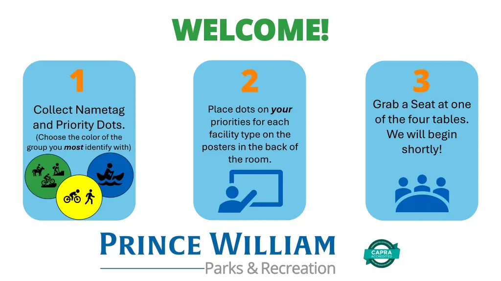
WELCOME! WELCOME! 2 Place dots on your priorities for each facility type on the posters in the back of the room. 1 3 Grab a Seat at one of the four tables. We will begin shortly! Collect Nametag and Priority Dots. (Choose the color of the group you most identify with)
Countywide Trails Master Plan Update Trails Planning Charrette
Tonights Agenda Sign-In Priority Exercise Introduction/Overview Mapping Exercise Map Review Next Steps Help Us Exercise
County Staff Team Department of Parks Department of Parks and Recreation and Recreation PWC Department of PWC Department of Transportation Transportation Department of Department of Planning Planning Patti Pakkala, Planning Manager Robert Boyd, Principal Planner David Kroeger, Planner Katherine Gonzalez, GIS Analyst Bryce Barrett, Principal Planner/Bike and Ped Coordinator Yolanda Hipski, Senior Planner
Why Update the Plan? It s been 32 years since the Park Authority introduced the Trails and Greenways Master Plan Trails were reviewed as part of Parks Chapter in 2008. Moved to Mobility Chapter with update in 2022. Development of the plan is directed by the 2040 Comprehensive Plan (Mobility Chapter Strategy RT9.2)
The Role of the Countywide Trails Master Plan 10-year Horizon Offset from 10-year Parks, Rec, and Open Space Master Plan Allows for input from the Needs Assessment and Strategic Plans Feeds scheduled Comp Plan updates, as well as CIP, PROS MP, and budgets
Goals for Tonights Meeting Draw and Discuss Where are the key connections to create a robust public trail network? Identify Priorities Where are trails needed/most beneficial? Learn What is currently planned? What are the next steps?
Goals for Tonights Meeting Have Fun!
How do We Design Trails? Trail: A facility designed for human- powered mobility or recreation Active Mobility Trails Recreational Recreational Trails Trails Trails within the road Right-of-Way. Primarily designed for efficiency of transportation. Trails outside of the road Right-of-Way. Primarily designed for leisure and enjoyment. (Includes Greenway and Blueway corridors)
How do People Use Trails? Trails Network Connectivity Recreational Trails Active Mobility Trails User Experience
Mapping Exercise: Active Mobility Trails Active Mobility Trails Trails within the road Right-of-Way. Primarily designed for efficiency of transportation. Bike Lane Shared Use Path Sharrow Paved Shoulder
Mapping Exercise: Recreational Trails Recreational Recreational Trails Trails Trails outside of the road Right-of-Way. Primarily designed for leisure and enjoyment Boardwalk Singletrack Trail Blueways Improved Surface Trail Paved Trail
Goals for the Plan Full Network Map Review
Full Network Review 82 Miles of existing Recreational Trails 125 Miles Planned and Proposed 123 Miles of existing Active Mobility Trails 5 Existing Launches 14 291 Miles Planned and Proposed Planned and Proposed Launches 207 Miles 414 Miles 19 Launches At full build out
Goals for the Countywide Trails Master Plan Identify Gaps Where are the planned and proposed segments on the map? Prioritize Gaps Which segments should be funded first? Update and Evaluate Trail Mileage Blueways Interjurisdictional Connections Bicycle Routes Equestrian Trails Cost Estimation Develop high level cost estimates for surface types and potentially individual projects (CIP) Maintenance Needs Identify maintenance costs/projects to feed the CMP (CMP)
Final Final Stay Stay Informed Informed Questions Questions Project Webpage Use sticky notes to Help Us Please provide feedback to questions on the back wall Thanks for Thanks for Coming! Coming! ? Send Feedback to trails@pwcgov.org