Crowdsourced Bathymetry for Seabed Mapping
Discover the significance of Crowdsourced Bathymetry (CSB) in mapping the seabed by 2030. Learn how CSB utilizes incidental passage soundings from vessels to collect essential depth measurements, enabling safe navigation and environmental benefits. Understand the distinction between CSB and traditional hydrographic surveying, emphasizing the value of CSB data for various applications beyond maritime operations.

Download Presentation

Please find below an Image/Link to download the presentation.
The content on the website is provided AS IS for your information and personal use only. It may not be sold, licensed, or shared on other websites without obtaining consent from the author. If you encounter any issues during the download, it is possible that the publisher has removed the file from their server.
You are allowed to download the files provided on this website for personal or commercial use, subject to the condition that they are used lawfully. All files are the property of their respective owners.
The content on the website is provided AS IS for your information and personal use only. It may not be sold, licensed, or shared on other websites without obtaining consent from the author.
E N D
Presentation Transcript
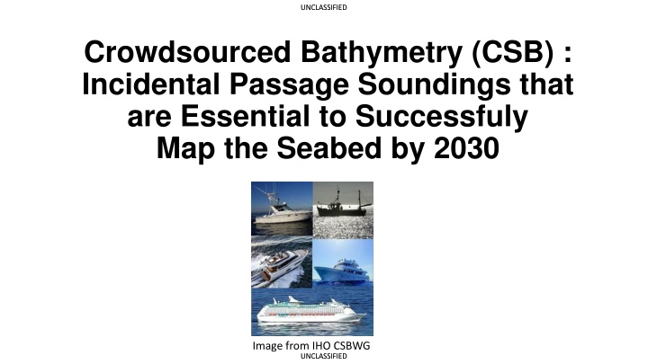
UNCLASSIFIED UNCLASSIFIED Crowdsourced Bathymetry (CSB) : Incidental Passage Soundings that are Essential to Successfuly Map the Seabed by 2030 Image from IHO CSBWG UNCLASSIFIED UNCLASSIFIED
UNCLASSIFIED UNCLASSIFIED What CSB IS by Official IHO definition CSB is the collection and sharing of depth measurements from vessels, using standard navigation instruments (SNI)*, while engaged in routine maritime operations (RMO)** *SNI = Compasses, Echosounders, Radar, GPS receivers **RMO = routine operations like transiting, passenger carriage, towing, UNCLASSIFIED UNCLASSIFIED
UNCLASSIFIED UNCLASSIFIED CSB IS NOT Hydrographic Surveying nor Marine Scientific Research (MSR) AGGREGATION ACQUISITION DISSEMINATION & USE Dissemination of CSB data by DCDB does not create liability for a coastal State s Hydrographic Office (HO) because the CSB data is NOT a product of the State Hydrographic Office, but merely factual information recorded by a vessel as part of its passage/transit soundings. CSB data merely reflects what a given vessel s echosounder recorded at a given geocoordinate. This occurs when vessels and/or Trusted Nodes Upload CSB data from data loggers to the DCDB At the point a vessel is collecting passage soundings, mandated by SOLAS, Chapter V, Regulation 19, paragraph 2.3 or best navigation practices There is no prohibition on the recordation and sharing of passage soundings (i.e., CSB data) in UNCLOS, SOLAS, or other international law conventions All ships of 300 gross tonnage and upwards and passenger ships irrespective of size shall, in addition to meeting the requirements of paragraph 2.2, be fitted with: an echo sounding device, or other electronic means, to measure and display the available depth of water. In fact, Voyage Data Recorders are authorized (mandated for passenger ships, and other covered ships in SOLAS), and data may be shared in the event of maritime disaster (SOLAS Chapter V, Reg. 20) Even if HOs choose not to use CSB soundings for safety of navigation products, they should not prevent other parties from accessing CSB data for other uses SOUNDING ACQUISITION IS INCIDENTAL TO SAFE NAVIGATION PURSUANT TO INTERNATIONAL LAW AND CUSTOM The subsequent use of CSB data from the DCDB for scientific research does not render acquisition of CSB as MSR. CSB data is factual data, LAT/LONG/DEPTH plus limited metadata CSB soundings are incidental collection in contrast with purposeful collection for hydrographic surveying or MSR UNCLASSIFIED UNCLASSIFIED
UNCLASSIFIED UNCLASSIFIED CSB Key Takeaways The Definition of CSB recognizes that CSB soundings are incidental to the Routine Maritime Operations of the vessel using Standard Navigation Instrumentation. CSB allows the collection, storage, and dissemination of billions of bathymetric data points and meta data that would otherwise be lost using this data can save millions of tons of CO2 emissions that would be required to perform planned survey missions. Not only does CSB have value in baselining depth measurements in areas that have never been traveled over, CSB enables assessing change detection in highly trafficked areas that may have debris which could hazard under-keel clearance. Hydrographic Offices should have no liability for CSB data that goes directly from vessel or trusted node to the DCDB. CSB is not a product of a Hydrographic Office nor a finished cartographic product. CSB is factual data that reflects incidental echosounder readings at a discreet geocoordinate at a given data time group. CSB can assist Hydrographic Offices determine areas where actual hydrographic surveys should be planned to conserve finite resources of vessels, fuel, crews, etc. The objectives of GECBO and Seabed 2030 can only be achieved when all Coastal States consent to make CSB freely publicly available via the DCDB. UNCLASSIFIED UNCLASSIFIED