Developing Obstruction Grids for Wave Energy Propagation
Explore the concept of obstruction grids designed to mimic the blocking effect of islands on wave energy propagation. Learn about the automated algorithm for building obstruction grids and see numerical tests in action. Discover the motivation behind using obstruction grids to account for energy reduction due to unresolved land masses, such as atolls and barrier islands. Observe the proof of concept and how obstruction grids remove bias patterns in model data, enhancing wave propagation analysis.

Download Presentation

Please find below an Image/Link to download the presentation.
The content on the website is provided AS IS for your information and personal use only. It may not be sold, licensed, or shared on other websites without obtaining consent from the author. If you encounter any issues during the download, it is possible that the publisher has removed the file from their server.
You are allowed to download the files provided on this website for personal or commercial use, subject to the condition that they are used lawfully. All files are the property of their respective owners.
The content on the website is provided AS IS for your information and personal use only. It may not be sold, licensed, or shared on other websites without obtaining consent from the author.
E N D
Presentation Transcript
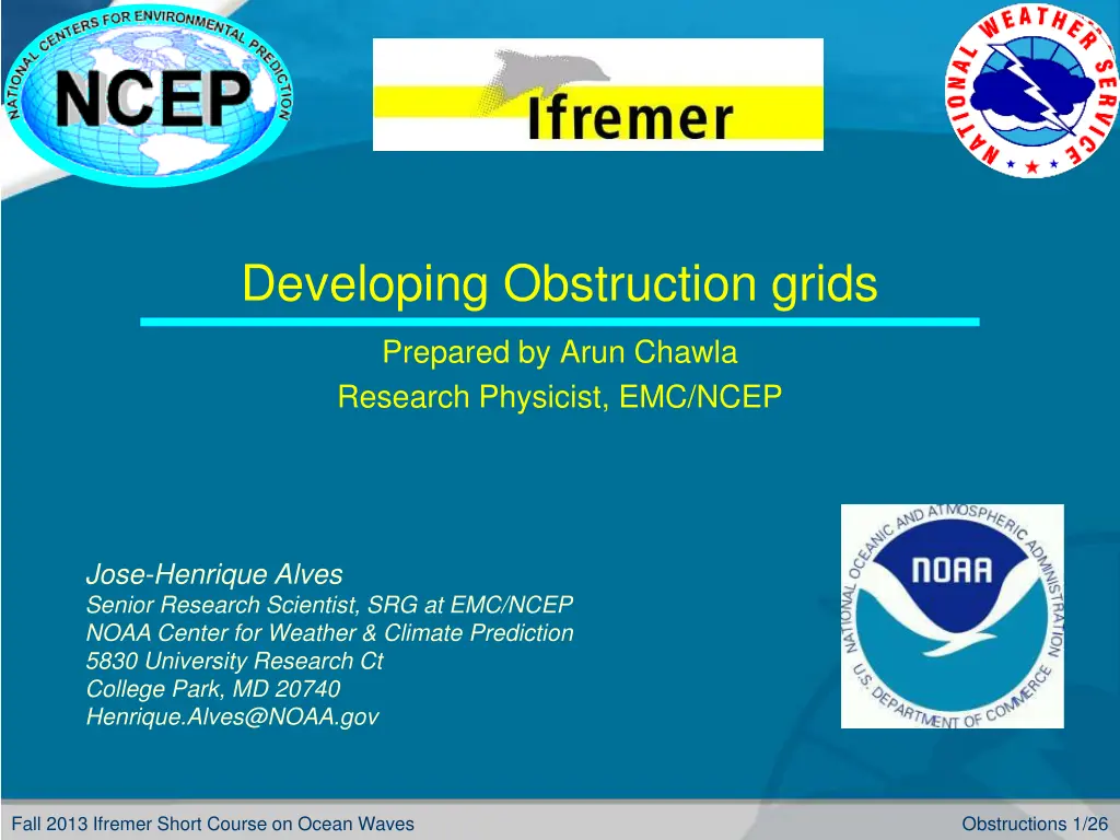
Developing Obstruction grids Prepared by Arun Chawla Research Physicist, EMC/NCEP Jose-Henrique Alves Senior Research Scientist, SRG at EMC/NCEP NOAA Center for Weather & Climate Prediction 5830 University Research Ct College Park, MD 20740 Henrique.Alves@NOAA.gov Fall 2013 Ifremer Short Course on Ocean Waves Obstructions 1/26
Outline Covered in this lecture: The concept of having obstruction grids to mimic the blocking effect of unresolved islands on wave energy propagation The ideas behind building an automated obstruction grid algorithm Numerical tests of this algorithm in wave propagation Fall 2013 Ifremer Short Course on Ocean Waves Obstructions 2/26
Why Obstruction grids ? Motivation To account for energy reduction due to blocking effects of unresolved land masses (small islands, atolls etc.) Bias maps (Model Data) show Bulls eye patterns behind unresolved islands in grid Fall 2013 Ifremer Short Course on Ocean Waves Obstructions 3/26
Why Obstruction grids ? Atolls / Barrier Islands cover very little surface area but provide effective barriers to wave propagation (e.g. Tuomotu) Fall 2013 Ifremer Short Course on Ocean Waves Obstructions 4/26
Obstruction grid Proof of concept Tolman (2003) showed that sub-grid islands can be modeled in WAVEWATCHIII by physically reducing the energy fluxes between the cells 1D Spatial propagation in WAVEWATCHIII t ( ) + = + 1 n n F F G G + + , , , , i i i i i i x Density flux and transparencies at cell boundaries Spectral density Reduction of energy dependent upon the proportion of cell being obstructed Obstruction grid ranges from 0 (no obstruction) to 1 (full obstruction) Two obstruction grids (for the 2 directions of motion) used in WAVEWATCHIII Fall 2013 Ifremer Short Course on Ocean Waves Obstructions 5/26
Obstruction grids in action Bias (Model Data) map No obstruction grid Obstruction grids remove the bulls eye patterns behind islands Obstruction grid Fall 2013 Ifremer Short Course on Ocean Waves Obstructions 6/26
Building an Obstruction Grid Initial development of Obstruction grids was done manually using high resolution grids. Time consuming Lead to inconsistencies across overlapping grids Aim is to build an automated algorithm Reference Data ? A base high resolution bathymetric data set that resolves most coastal features (e.g. ETOPO1) A database of coastal polygons (e.g. Global Self Consistent Hierarchical High resolution Shoreline GSHHS) Our choice is the GSHHS database. Fall 2013 Ifremer Short Course on Ocean Waves Obstructions 7/26
Why Shoreline Polygons? There are 188,606 shoreline polygons (180,509 coastal) in the data base Over 99 % of these have a cross sectional area < 6 km2 (cross sectional area of a 2 grid square ~ 14 km2) Convenient to treat land bodies as closed polygons Precludes need for representation in high resolution grid Trivial to compute extent of coastal bodies along the grid axes Fall 2013 Ifremer Short Course on Ocean Waves Obstructions 8/26
Why Shoreline Polygons (contd.)? Atolls are very well represented Additional obstructions (e.g. breakwaters) easily added Trivial to mask out selected bodies of water (e.g. Hudson Bay) or reefs (e.g. Great Barrier Reef) Atolls cover very little surface area but provide effective barriers to wave propagation Fall 2013 Ifremer Short Course on Ocean Waves Obstructions 9/26
Obstruction grid algorithm Obstruction computed as proportion of cell length obstructed by boundary (ies) Obstruction data for cells next to dry cells set to 0 (to avoid spurious energy decay) Sx = obstruction along x = obstruction height/cell height Sy = obstruction along y = obstruction width/cell width Fall 2013 Ifremer Short Course on Ocean Waves Obstructions 10/26
Points to consider while building an obstruction grid (a) Boundaries crossing cells in the same path Option1: Account for obstruction path in neighboring cells Energy flux from B to C should be fully obstructed Option2: Move boundary segments from common boundary in neighboring cells to the same cell Using option 2 prevents over counting Fall 2013 Ifremer Short Course on Ocean Waves Obstructions 11/26
Points to consider while building an obstruction grid (contd.) (b) Multiple boundaries within a cell Ignore for Sy Ignore for Sx Obstruction should not be determined from the sum of all lengths but the net length Fall 2013 Ifremer Short Course on Ocean Waves Obstructions 12/26
Points to consider while building an Obstruction grid (contd.) (c) Neighboring cell information Orientation of boundaries in neighboring cell can lead to greater obstruction than from using boundary information in individual cells only Fall 2013 Ifremer Short Course on Ocean Waves Obstructions 13/26
Points to consider while building an Obstruction grid (contd.) (d) Discount overlapping boundaries from neighboring cells Non zero Sx,Sy values for any particular cell should be computed if obstructions in the cell contribute to the obstruction process Fall 2013 Ifremer Short Course on Ocean Waves Obstructions 14/26
Points to consider while building an Obstruction grid (contd.) (e) How do you account for neighboring cells ? Option1: Consider neighbors on both sides Cell B Sx values would include information from cell C Cell C Sx values would include information from cell B Wave propagation from left to right (or right to left) will lead to over attenuation Fall 2013 Ifremer Short Course on Ocean Waves Obstructions 15/26
Points to consider while building an obstruction grid (contd.) (e) How do you account for neighboring cells (contd.)? Option2: Consider neighbors on one side alone Cell B Sx values would include information from cell C (neighbor to right ) Cell C Sx values would include information from cell B (neighbor to left) Use right neighbor for wave propagation from right to left Use left neighbor for wave propagation from left to right Fall 2013 Ifremer Short Course on Ocean Waves Obstructions 16/26
Numerical Tests to validate obstruction algorithm 3 different regions Caribbean Islands Hawaii French Polynesian Islands For each region 5 grid resolutions ( 2 , 4 , 8 , 15 and 30 ) 4 different scenarios No obstruction Obstruction grids based on individual cell info only Obstruction grids based on cell info from one neighbor Obstruction grids based on cell info from both neighbors Fall 2013 Ifremer Short Course on Ocean Waves Obstructions 17/26
Numerical Tests (contd.) Constant swell applied along Northern and Eastern boundaries Hs = 4m, Tp = 10 sec Swell direction = 45o from the North East Directional spread = 20o Monochromatic frequency component 72 directional components (to minimize Garden Sprinkler Effects) Tests limited to swell propagation No refraction Source terms switched off Fall 2013 Ifremer Short Course on Ocean Waves Obstructions 18/26
Test Case French Polynesia Total # of boundary polygons for this region = 1640 Max projected area ~ 2400 km2 Min projected area ~ 0.0092 km2 Projected area = length*width Fall 2013 Ifremer Short Course on Ocean Waves Obstructions 19/26
Grids (land sea masks) GSHHS 2 grid 4 grid Coarser grids had no land boundaries 8 grid Fall 2013 Ifremer Short Course on Ocean Waves Obstructions 20/26
Swell propagation without obstruction grids 2 grid 4 grid 8 grid 30 grid 15 grid Fall 2013 Ifremer Short Course on Ocean Waves Obstructions 21/26
Swell propagation with obstruction grids 4 grid 8 grid 2 grid 15 grid 30 grid Fall 2013 Ifremer Short Course on Ocean Waves Obstructions 22/26
Difference plots (no obstruction) (b)2 8 (a)2 4 (c)2 15 (d)2 30 Fall 2013 Ifremer Short Course on Ocean Waves Obstructions 23/26
Difference plots (with obstruction) (b)2 8 (a)2 4 (d)2 30 (c)2 15 Fall 2013 Ifremer Short Course on Ocean Waves Obstructions 24/26
Wrap Up Conclusion An obstruction grid algorithm has been developed Algorithm works in Matlab and uses the GSHHS polygons with the land sea mask and is part of the grid generation package (to be covered next) The obstruction grid algorithm is designed to work downstream of unresolved islands For accurate solutions close to islands, they have to be resolved using high resolution grids Obstruction grids work by reducing the energy over the unresolved grid cell, and thus are limited by the resolution of the grid in question Fall 2013 Ifremer Short Course on Ocean Waves Obstructions 25/26
The end End of lecture Fall 2013 Ifremer Short Course on Ocean Waves Obstructions 26/26


?")


")

")


")
")