EMODnet - European Marine Observation Data Network Overview
The European Marine Observation and Data Network (EMODnet) comprises over 160 organizations collaborating to enhance accessibility to marine data for both public and private users. Through quality-assured, standardized, and harmonized marine data, EMODnet aims to provide interoperable and restriction-free resources. The data infrastructure development is structured in three major phases, with operational services expected to achieve full coverage of all European sea-basins by 2020. EMODnet offers various data portals covering bathymetry, seabed habitats, chemistry, biology, physics, human activities, and coastal mapping. The Bathymetry portal specifically focuses on providing access to bathymetric products, Digital Terrain Models (DTM), and data collected and managed by numerous organizations across Europe. Services within the Bathymetry portal include data discovery and access, and viewing and downloading of bathymetric data.

Download Presentation

Please find below an Image/Link to download the presentation.
The content on the website is provided AS IS for your information and personal use only. It may not be sold, licensed, or shared on other websites without obtaining consent from the author.If you encounter any issues during the download, it is possible that the publisher has removed the file from their server.
You are allowed to download the files provided on this website for personal or commercial use, subject to the condition that they are used lawfully. All files are the property of their respective owners.
The content on the website is provided AS IS for your information and personal use only. It may not be sold, licensed, or shared on other websites without obtaining consent from the author.
E N D
Presentation Transcript
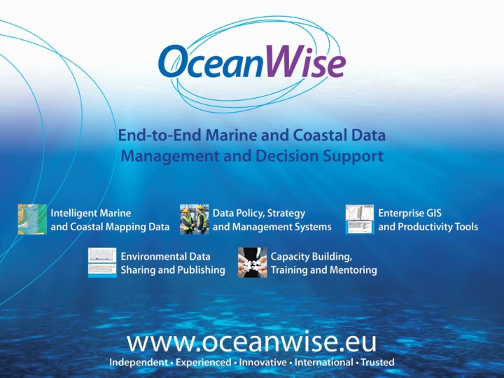
European Marine Observation Data Network (EMODnet) John Pepper OceanWise Ltd, UK
What is EMODnet The European Marine Observation and Data Network (EMODnet) consists of more than 160 organisations assembling marine data, products and metadata to make these fragmented resources more available to public and private users relying on quality-assured, standardised and harmonised marine data which are interoperable and free of restrictions on use.
EMODnet Data Infrastructure EMODnet data infrastructure is being developed in three major phases from 2009: Phase 3 (2017 - 2020) portal development together with 7 EMODnet thematic sub-portals contains a wider selection of parameters and higher resolution data products Operational service by2020 with full coverage of all European sea-basins
Data Portals Bathymetry Seabed Habitats Chemistry Biology Physics Human Activities Coastal Mapping
Objectives of EMODnet Bathymetry EMODnet Bathymetry aims to provide a single access point to bathymetric products, Digital Terrain Models (DTM) and data (survey data sets and composite DTM) collected and managed by an increasing number of organisation from government and research scattered over Europe
Bathymetry Portal Development Digital Terrain Model are based on 3 types of bathymetric data sources. Bathymetric surveys single beam , multi-beam and historic lead line soundings Composite data sets, giving a gridded bathymetry, provided by Hydrographic Offices (HO s) from the Digital Terrain Models that they maintain. GEBCO 30 gridded data. GEBCO 2014 is used to complete area coverage in case there are no survey data or composite data sets available to the partners. Improvements in the current development Phase II (2013-2016) Higher resolution DTM ( rather than of an arc minute); Fuller coverage (now includes Baltic, Black Sea and Norwegian Sea). http://www.emodnet.eu/bathymetry
Bathymetry Portal Services Data Discovery and Access service: provides functionality to search and obtain survey data sets; Composite Products Discovery and Access service: provides functionality to search and view metadata of composite DTM; Bathymetry Viewing and Download service: provides functionality to view, browse and download digital bathymetry as DTM and obtain information about the underlying data sets used to compile the DTM.
About EMODnet Phase 3 The European Marine Observation and Data Network (EMODnet) High Resolution Seabed Mapping Project announced in January 2017: Higher resolution DTM (6 arc) Coastal Mapping Consortium headed by the French Hydrographic Office (SHOM) and Dutch company, Maris BV OceanWise provides all Bathymetry inputs for the UK as a full partner Partners spread across Europe and around the seaboard of the North Atlantic