Engaging Pacific Map Navigation Activity
Explore the Pacific islands through collaborative map-building activities and icebreakers. Connect with others to complete maps, fostering teamwork and learning cultural geography of the region.

Download Presentation

Please find below an Image/Link to download the presentation.
The content on the website is provided AS IS for your information and personal use only. It may not be sold, licensed, or shared on other websites without obtaining consent from the author. If you encounter any issues during the download, it is possible that the publisher has removed the file from their server.
You are allowed to download the files provided on this website for personal or commercial use, subject to the condition that they are used lawfully. All files are the property of their respective owners.
The content on the website is provided AS IS for your information and personal use only. It may not be sold, licensed, or shared on other websites without obtaining consent from the author.
E N D
Presentation Transcript
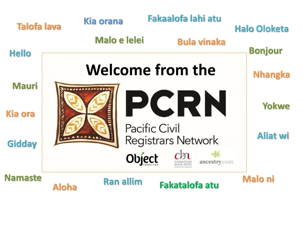
Fakaalofa lahi atu Kia orana Talofa lava Halo Oloketa Malo e lelei Bula vinaka Bonjour Hello Welcome from the Nhangka Mauri Yokwe Kia ora Aliat wi Gidday Namaste Malo ni Ran allim Fakatalofa atu Aloha
Icebreaker: Navigating the Pacific You each have been given a map of the Pacific with one island group named on it, and some blank spaces. Not everyone has the same. Talk to others in the group and see if you can complete the map.
Create a Map in this room Now we ll create a map with each other in this room, using the countries we had on our map to start. Find a space on the floor to make a map where you represent the country that was already on your map. E.g. the person who had Vanuatu will stand with Fiji on one side and New Caledonia on the other.


