Enhancing K-12 Geoscience Education with Spatial Thinking Integration
Explore a framework for integrating spatial thinking into K-12 geoscience education, focusing on improving spatial thinking, constructive geography, and spatial-temporal primitives. Discover how a place-based curriculum can enhance spatial understanding across various science disciplines.

Download Presentation

Please find below an Image/Link to download the presentation.
The content on the website is provided AS IS for your information and personal use only. It may not be sold, licensed, or shared on other websites without obtaining consent from the author. If you encounter any issues during the download, it is possible that the publisher has removed the file from their server.
You are allowed to download the files provided on this website for personal or commercial use, subject to the condition that they are used lawfully. All files are the property of their respective owners.
The content on the website is provided AS IS for your information and personal use only. It may not be sold, licensed, or shared on other websites without obtaining consent from the author.
E N D
Presentation Transcript
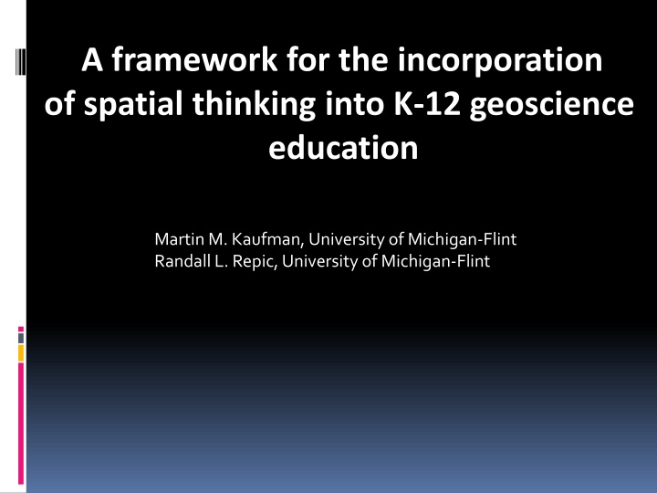
A framework for the incorporation of spatial thinking into K-12 geoscience education Martin M. Kaufman, University of Michigan-Flint Randall L. Repic, University of Michigan-Flint
What well cover today Improving spatial thinking A unifying spatial-temporal approach to geoscience education The STEM pipeline Constructive geography Recruitment of students The course site Course outline and objectives Course activities Results and Discussion Conclusions
Improving spatial thinking Hypothesis: a place-based field curriculum that employs spatial- temporal frameworks to integrate high school sciences can improve spatial thinking across multiple science disciplines
Constructive Geography Frameworks Spatial-Temporal Primitives Physical and Social Realityeality Geographic Scale Site and Situation Objects Events Spatial-Temporal Primitives Processes Laws of Matter, Space, and Time
Spatial-Temporal Primitives Spatial Inherent size, shape, location, containment Relative distance, direction, connectivity Temporal duration, frequency, sequence
Building Frameworks from the Spatial- Temporal Primitives Geographic Scale Size of the location where the objects, events, processes occur Observation Geographic scale Measurement Site and Situation Size of the location where the objects, events, and processes occur Physical, systematic, or contextual connections occurring at locations outside of the site Containment Situation Connectivity (Site)
Spatial-temporal primitives as an investigative framework This sequence of questions might comprise a line of inquiry in the investigation of a volcanic eruption: Where did it occur (location) How far did the pyroclastic materials travel (distance) Did this eruption occur within an area of volcanism (containment). Then, incorporating a more complex spatial construct: What was the pattern of ash, lapilli, and bombs ejected?
Recruitment of Students DEEP program (advanced placement college credit) Organization of effort publicity, meetings Administrators, Faculty, Parents, Students, Community What we told the parents and administrators Develop a deeper appreciation for science and scientific methods Illustrate the benefits of teamwork via group work and partnerships Improve written and oral communication skills Promote comprehensive thinking processes by enabling the translation of raw data into a conceptual plan for a real physical space. Build confidence via independent decision-making opportunities
Course site Robert Williams Nature Park and Historical Learning Center, Davison Township, Michigan Kearsley Creek
Course Outline Course is field based and organized into four instructional units: Geographic grid and scale Measurement and analysis Field sampling and analysis Data development and presentation Each unit includes lecture, laboratory, field exercises, research, data development and analysis, and report development.
Course Objectives See meaning in the arrangement of things in space, and the relations between people, places, and environment. Use geographic skills and scientific methodologies to apply spatial and ecological perspectives to real world situations. Develop the ability for students to practice integrated science , that is, to apply spatial thinking to effectively integrate content knowledge from different scientific disciplines. And
Address and improve the emotional and intellectual aspects of the students experience Develop a deeper appreciation for science and scientific methods. Illustrate the benefits of teamwork via group work and partnerships. Improve written and oral communication skills. Promote comprehensive thinking processes. Build confidence via independent decision-making opportunities.
Course Activities Site control: Pace and scale mapping; use of the level
Instructions to the sampling teams: Safety and proper technique
Results Students in their own words from their final project write-ups (including their typos) Throughout this course there have been a lot of different skills learned, used and applied to real life situations. Everything from drafting a Topographic map to taking water samples, this course has taught that Kearsley Creek s watershed is just a small part of the larger watershed and ecosystems in southeastern Michigan. Objectives attained: spatial skills; application of a spatial framework
Results, cont. This water testing was a great benefit to the testers in an educational sense, but it was also an enjoyable experience because of the beautiful nature of the testing site. The tests were more beneficial because the site was diverse and 100% real world. The tests were affected by the weather and by the vegetation in the river which is something that cannot be replicated in a lab, and that is priceless . Objectives attained: appreciation for science and scientific methods; Integrated science
Results, cont. Based on our research of the vegatation found in that region, we concluded that in this type of soil forest can grow well and that the red and white oak doninate in the upper conopy, but maples exsist in the lower canopy. The areas closed canopy helps prevent large amounts of erosion, due to the leafs intercepting the rain, and the leafs covering the ground continue to act as a barrier to protect the soil. Objectives attained: science methods; integrated science
Results, cont. This class was great, better than the 11 years I have been in High School. The only suggestions I have is to definitely push for the aerial view and the kayaking the creek. And for the soil sampling it would be nice to take samples from not only the uplands but also the low lands near the creek, then to compare and contrast them. Also if classes like this could be expanded throughout the year that would be awesome. Objectives attained: science methods; geographic skills
Results, cont. Throughout this three week course I observed many new surroundings, conducted many new test, and learned many new things. The most important concept I learned from this course is the value of team work, I also learned that even though this is a very large area compared to us, it is a very small area compared to the world. We all make an impact on our surrounding and it is important to watch what we do and how we interact in our world. Objectives attained: teamwork; application of a spatial framework
Conclusions As domain knowledge increases, the ability to employ spatial frameworks also increases (this meshes with studies of chess masters). A sequenced, constructive approach to spatial education works well. The three basic spatial frameworks of time/space, scale, and site and situation overlap, as evidenced by student recommendations about the experimental design for the class. Understanding of the nature of science is beginning to come through. The chances for success are increased by paying close attention to the emotional and intellectual aspects of the students experience.