Explore Earth's Visual Stories: Nighttime Lights Data Lens
Delve into the visual stories of Earth through satellite data capturing nighttime lights. Analyze maps, observe changes, and generate questions for scientific exploration.

Download Presentation

Please find below an Image/Link to download the presentation.
The content on the website is provided AS IS for your information and personal use only. It may not be sold, licensed, or shared on other websites without obtaining consent from the author. If you encounter any issues during the download, it is possible that the publisher has removed the file from their server.
You are allowed to download the files provided on this website for personal or commercial use, subject to the condition that they are used lawfully. All files are the property of their respective owners.
The content on the website is provided AS IS for your information and personal use only. It may not be sold, licensed, or shared on other websites without obtaining consent from the author.
E N D
Presentation Transcript
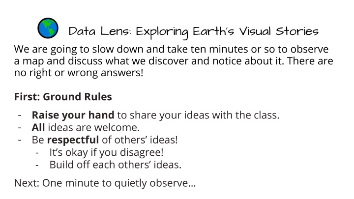
Data Lens: Exploring Earths Visual Stories We are going to slow down and take ten minutes or so to observe a map and discuss what we discover and notice about it. There are no right or wrong answers! First: Ground Rules - Raise your hand to share your ideas with the class. - All ideas are welcome. - Be respectful of others ideas! - It s okay if you disagree! - Build off each others ideas. Next: One minute to quietly observe
Map A: Lights at Night 2010 What is different and what is similar about these two different maps? Map B: Change in Lights at Night 2010 compared to 1992 Fill out the Venn diagram with your answers.
Map A: Lights at Night 2010 Using your Venn Diagram, write two questions that scientists might study based on your observations. Map B: Change in Lights at Night 2010 compared to 1992 (on your worksheet)
End of Data Lens Want to learn more about this data from NOAA s Science On a Sphere? Read the dataset description on the next slide.
About the data: Nighttime Lights This data comes from satellites that orbit near the North and South Poles and collect information about Earth, including how it looks at night. The satellites used special sensors to capture very dim light, like city lights, gas flares, fires, and even lightning! The data was collected by the Defense Meteorological Satellite Program (DMSP) and put together into a dataset called Nighttime Lights of the World, showing lights recorded between October 1994 and March 1995. This particular image is from 2010. This map shows only the lights created by electricity, making it a picture of how people light up the planet. The oceans are shaded dark blue, and the land is a lighter blue so you can tell them apart. The lights appear bright white, showing where people live and how connected they are. You can see some cool patterns! For example, many bright lights are near coastlines, because people like living near water. The Nile River in Africa is outlined by lights along its banks. In the United States, the eastern half of the country glows much brighter, showing that more people live there. You can even spot major highways by the strings of lights running along them! This description has been edited from the one linked above to increase understanding. Source: NOAA Science On a Sphere, NOAA View Global Data Explorer
Extensions - Science Literacy Reading: Have the students partner up. Student 1 reads Earth at Night - Where Do Nightlights Come From? pages 20-26 Student 2 reads Earth at Night - Nature s Light Shows pages 28-32 Summarize what you learned and share with your partner.