Functional Upgrade for Provincial Road Network Inventory: Gauteng Case Study
"Explore the major functional upgrade towards a comprehensive road network inventory in Gauteng, focusing on asset identification and proper management practices for economic development. The study area, methodology, and results highlight the significance of road infrastructure for mobility and access. Learn how the Roads Asset Management System (RAMS) plays a crucial role in maintaining and expanding the road network to meet future demands."

Download Presentation

Please find below an Image/Link to download the presentation.
The content on the website is provided AS IS for your information and personal use only. It may not be sold, licensed, or shared on other websites without obtaining consent from the author. If you encounter any issues during the download, it is possible that the publisher has removed the file from their server.
You are allowed to download the files provided on this website for personal or commercial use, subject to the condition that they are used lawfully. All files are the property of their respective owners.
The content on the website is provided AS IS for your information and personal use only. It may not be sold, licensed, or shared on other websites without obtaining consent from the author.
E N D
Presentation Transcript
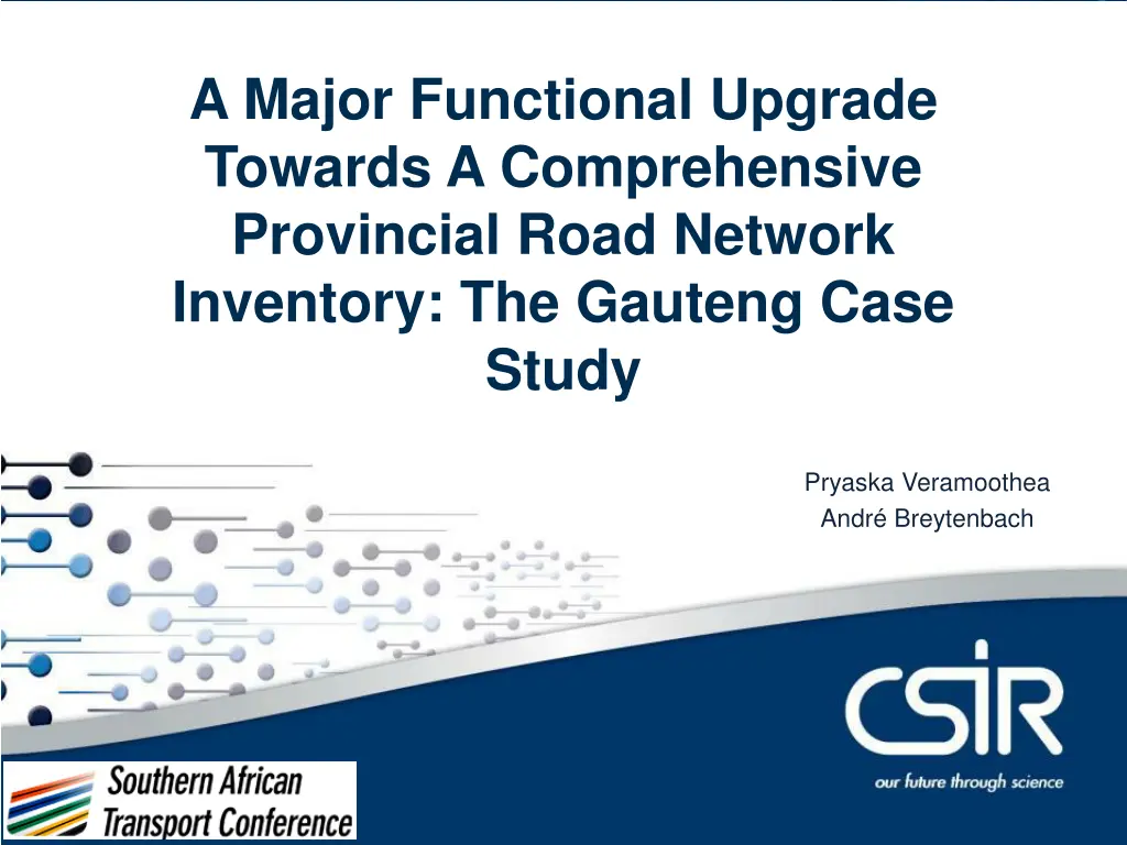
Contents A Major Functional Upgrade Towards A Comprehensive Provincial Road Network Inventory: The Gauteng Case Study Pryaska Veramoothea Andr Breytenbach
Introduction Road transport network forms the primary means of access and mobility Function: road access, mobility, design, traffic volume (counting stations) and the presence of public facilities RAMS is a fully integrated system comprising the road network, bridges and culverts, and other assets or land parcel(s) accounted for and verified Importance to country s economy Asset identification allows for proper management practices 2
Study rationale and study area Gauteng is the economic hub of SA One fifth of SA population Predicted growth rate high Highly dynamic nature of change requires an up-to-date RAMS roads geodatabase for an accurate Financial Asset registry (FAR) 3 Location of the Gauteng province within South Africa
Methodology Upgrade to previous RNI version (v9b) Exisisting elements were altered, new elements were added and decommissioned roads were removed in order to achieve a more comprehensive set of attributes. All roads were considered according to the TMH22 and TRH26 guideline documents by COTO The lessons learnt in Gauteng will inform future updates to the guidelines The TMH 22 (2016) has been drafted to provide the relevant road authorities with guidelines to manage assets in accordance with the lawful acts pertaining to the management of road assets and the finances thereof 4
Methodology Data used: very high resolution remotely sensed imagery and ancillary data (SANRAL road network, administrative boundaries, the *AfriGIS 2014 roads layer) Geodatabases and relational tables were used in order to logically link the road attributes Physical and descriptive attributes were used to highlight current road conditions for asset identification and valuation within the RAMS. Each road link was given its own unique primary key. *Data used in accordance with AfriGIS standard EULA 5
Results and Discussion - Links Regular maintenance Upgraded naming policy Ramps and slipways were added to the RNI New roads (municipal or other) were added. Name had a prefix of M- eg. MD51, MD51_0001GPC 6
Results and Discussion - Nodes Node attributes: XY coordinates, a unique node ID, the roads being intersected (if any) as well as the node s position in terms of kilometres down the respective road. At intersections, nodes were allocated to the higher order road being intersected. Node naming: unique identifier, placement of node eg. 0905B_I denotes node number 0905, B indicates that it was the second node allocated to 0905, and I indicates that it was allocated at an intersection 7
Results and Discussion Significant increase in road surface No. of nodes No. intersections No. of links Total combined road link length No. of dual c/ws Length of dual c/ws V9b 1961 n/a 2503 V10 2647 2018 3600 % Increase 34,98 n/a 43,83 5747 985 1369 5931 1594 1468 3,20 61,83 7,23 Regular maintenance of the RNI results in an accurate and up-to-date FAR A complete and correct RNI allows for decision making and planning to accommodate the growth dynamics of the province The RNI will incorporate alternative transportation routes in future upgrades. This will provide a more comprehensive database of transportation routes. Hypothetical representation of an interchange in the upgraded RNI 8
Conclusion Upgraded Gauteng RNI displays greater accuracy in the geometry and correctness in the data than in the past Routine GIS maintenance will ensure that the RNI and FAR remain up-to-date A better representation of the real transport infrastructure system New elements with every upgrade allows for opportunities for future integration and improved accuracy. This will assist the Gauteng Provincial Department of Roads and Transport maintain and manage the RNI optimally. 9
Thank you Pryaska Veramoothea (pveramoothea@csir.co.za)