Geography of Canada Learning
Geography of Canada through locating key features on maps, understanding its impact on trade and settlement, and engaging in interactive instructional strategies and assessments.

Download Presentation

Please find below an Image/Link to download the presentation.
The content on the website is provided AS IS for your information and personal use only. It may not be sold, licensed, or shared on other websites without obtaining consent from the author.If you encounter any issues during the download, it is possible that the publisher has removed the file from their server.
You are allowed to download the files provided on this website for personal or commercial use, subject to the condition that they are used lawfully. All files are the property of their respective owners.
The content on the website is provided AS IS for your information and personal use only. It may not be sold, licensed, or shared on other websites without obtaining consent from the author.
E N D
Presentation Transcript
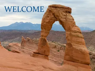
GEOGRAPHY OF CANADA
LEARNING TARGETS I can locate on a world and regional political-physical map: the St. Lawrence River, Hudson Bay, Atlantic Ocean, Pacific Ocean, the Great Lakes, Canadian Shield, and Rocky Mountains. I can describe how Canada s location, climate, and natural resources impact trade and affect where people live.
INSTRUCTIONAL STRATEGIES Map: Students use an atlas to label the map of Canada. CLOZE Notes: The next pages are handouts for the students to use for note-taking during the presentation. The students will check the answers as a class after the presentation. Canada s Physical Feature Chart: Students will complete the chart while discussing the presentation. Students will answers as a class when finished. Students color their illustrations. Billboard: Billboard: The teacher will pass the Billboard handout to each student. The teacher will have the students choose one of Canada s physical features and create a welcome sign that visitors will see as they enter the feature s region. The sign should include key facts about the feature, as well as illustrations. Flyswatter Review: Teacher will project a blank map of Canada on the board. Next, the teacher will put the students into groups and have one member from each group come to the board. Then, the teacher will call out different features in Canada and have the students use flyswatters to hit the location. The first person to hit it correctly wins!
ASSESSMENTS Pre-Test Unit 5 Comprehension Check Have the students create a snapchat message for one of the physical features from the lesson.The message should include an illustration that represents the feature, as well as text to describe it.