Geologic Map Modeling Methods
Explore topological considerations and possible methods for modeling both surficial and bedrock conceptual surfaces in geologic maps. Learn about the challenges and solutions in creating logically consistent geologic data with the integration of bedrock and surficial units.

Download Presentation

Please find below an Image/Link to download the presentation.
The content on the website is provided AS IS for your information and personal use only. It may not be sold, licensed, or shared on other websites without obtaining consent from the author. If you encounter any issues during the download, it is possible that the publisher has removed the file from their server.
You are allowed to download the files provided on this website for personal or commercial use, subject to the condition that they are used lawfully. All files are the property of their respective owners.
The content on the website is provided AS IS for your information and personal use only. It may not be sold, licensed, or shared on other websites without obtaining consent from the author.
E N D
Presentation Transcript
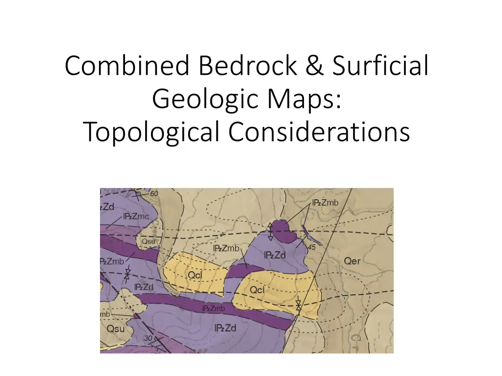
Combined Bedrock & Surficial Geologic Maps: Topological Considerations
The Issue GeMs Specifies that as part of the Map Graphic the requirement for map-unit polygons (that cover the mapped area without gaps or overlaps This assumes (a) single conceptual surface being modeled, and (2) as result a geodatabase Planar Topology (Note the importance of Planar) can adequately check for logical inconsistencies Cartographically as part of a Map Graphic this can make sense, but breaks down when attempting to generate logically consistent robust geologic data with a map that includes both bedrock and surficial units The Topologic Rule Must not have gaps dictates that the known bedrock polygon under surficial polygons must be deleted to ensure a valid topology A human geologic map reader understands that the dashed hidden contacts means that the bedrock continues under the surficial unit (with some level of certainty). The current data model cannot do this. Top of Surficial surface Top of Bedrock surface
Possible Methods to Model Both Surficial and Bedrock Conceptual Surfaces Don t worry about it. The data represents the map, leave out the underlying bedrock Separate Geodatabases (GDB) for surficial and bedrock Combined GDB Separate Surficial/Bedrock Feature Classes Combined GDB Separate Feature Datasets Combined DRB Use Subtypes for Surficial/Bedrock Distinction
Separate Geodatabases (GDB) for surficial and bedrock Makes sense for separate surficial and mapping teams Artificial separation of similar concepts? Harder to correlate/deconflict Can only edit one GDB at a time Individual GDB is GeMs Compliant surficial Map_unit_poly Map_unit_lines Map_unit_points Contacts_and_faults Geologic_polys Geologic_lines Geologic_points Topology bedrock Map_unit_poly Map_unit_lines Map_unit_points Contacts_and_faults Geologic_polys Geologic_lines Geologic_points Topology
Combined GDB Separate Surficial/Bedrock Feature Classes Table names all different than standard GeMS A lot of tables/Feature classes combined Map_unit_poly_bedrock Map_unit_lines_bedrock Map_unit_points_bedrock Contacts_and_faults_bedrock Geologic_polys_bedrock Geologic_lines_bedrock Geologic_points_bedrock Map_unit_poly_surficial Map_unit_lines_surficial Map_unit_points_surficial Contacts_and_faults_surficial Geologic_polys_surficial Geologic_lines_surficial Geologic_points_surficial Topology
Combined GDB Separate Feature Datasets Individual Feature Datasets are GeMs Compliant. Can only edit one FDS at a time FDS is an ESRI construct, not as open combined Surficial Feature Dataset (FDS) Map_unit_poly Map_unit_lines Map_unit_points Contacts_and_faults Geologic_polys Geologic_lines Geologic_points Topology Bedrock Feature Dataset (FDS) Map_unit_poly Map_unit_lines Map_unit_points Contacts_and_faults Geologic_polys Geologic_lines Geologic_points Topology
Separate Geodatabases (GDB) for surficial and bedrock Requirement to add subtype field (must be integer) Subtypes are an ESRI construct, not as open A table/feature class can have only 1 subtype field Individual GDB is GeMs Compliant (but may cause confusion) combined Map_unit_poly Map_unit_lines Map_unit_points Contacts_and_faults Geologic_polys Geologic_lines Geologic_points Topology Must not Overlap Surficial Must not Overlap Bedrock


 for")


 for")