Geologic Mapping System Update: Employing Layer Field with Integer Values
"Explore the latest update on Alaska DGGS GeMS MM system, focusing on employing a field named 'layer' with specific integer values for surficial and bedrock layers, along with detailed phases of production documentation. Discover the new features and developments in geologic mapping systems."

Download Presentation

Please find below an Image/Link to download the presentation.
The content on the website is provided AS IS for your information and personal use only. It may not be sold, licensed, or shared on other websites without obtaining consent from the author. If you encounter any issues during the download, it is possible that the publisher has removed the file from their server.
You are allowed to download the files provided on this website for personal or commercial use, subject to the condition that they are used lawfully. All files are the property of their respective owners.
The content on the website is provided AS IS for your information and personal use only. It may not be sold, licensed, or shared on other websites without obtaining consent from the author.
E N D
Presentation Transcript
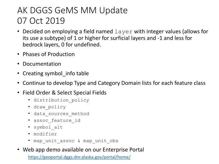
AK DGGS GeMS MM Update 07 Oct 2019 Decided on employing a field named layer with integer values (allows for its use a subtype) of 1 or higher for surficial layers and -1 and less for bedrock layers, 0 for undefined. Phases of Production Documentation Creating symbol_info table Continue to develop Type and Category Domain lists for each feature class Field Order & Select Special Fields distribution_policy draw_policy data_sources_method assoc_feature_id symbol_alt modifier map_unit_assoc & map_unit_obs Web app demo available on our Enterprise Portal https://geoportal.dggs.dnr.alaska.gov/portal/home/
Alaska DGGS Alaska DGGS GeMS GeMS focused Geologic Mapping System focused Geologic Mapping System Alaska DGGS Geologic Database Alaska DGGS Single Map GeMS Archive Database Federal Single Map GeMS Archive Database Geologic Field Collection System Geologic Map Production System Geologic Feature Services Geologic Features Multi Map GeMS Database Field Single Geologic Map Production Database Collection Database
Alaska DGGS Geologic Mapping System Products Alaska DGGS Geologic Mapping System Products Geologic Feature Services Field Mapping Process Single Geologic Map Production Database Geologic Features Multi Map GeMS Enterprise Database Load Geologic Data Data Cartographic Product Geologic Map Image Services Print, pdf, & Rasterize Product Web Page DGGS Website Alaska DGGS Single Map GeMS Archive Database Export To Federal Convert Single Map GeMS Archive Database USGS
Multi Multi- -Map Map GeMS GeMS Schema Integration Into AK DGGS System Schema Integration Into AK DGGS System cartographic_polys cartographic_lines cartographic_points station_id station_points samples geochron_points overlay_polys iso_lines fossil_points geologic_polys geologic_lines geologic_points structure_polys structure_lines orientation_points product_id product_info contacts_and_faults data_sources_id data_sources map_unit_polys map_unit_lines map_unit_points descr map units table data_source_polys geomaterials table symbol_info table glossary
Allowing for Overlapping Layers layer Planar topology Surficial Layer 2 undefined Surficial Layer Planar topology 1 0 Planar topology Bedrock Layer -1 Allows for additional layers as needed
Phases of Production Thinking through both when & who should populate database elements --Balancing cartographic and database requirements-- Who When geologist gis/cartographer gems admin esri pre-project fieldwork interpretation publication prep post_pub on the fly
symbol_info table symbol_id symbol_code fgdc_code description_fgdc fgdc_page description usage_notes data_source_id symbol _type [FGDC Primary, FGDC Alternate, FGDC secondary, etc.] assoc_symbol_id geom_dimension class category type
Field Order & Select Special Fields distribution_policy draw_policy data_sources_method assoc_feature_id symbol_alt modifier map_unit_assoc & map_unit_obs