Historical Flood Inundation: Climate Change Impact Study
This study examines the relationship between historical flood inundation and climate change or human influence, utilizing satellite data and simulation models to determine trends and potential factors affecting flood extent.

Download Presentation

Please find below an Image/Link to download the presentation.
The content on the website is provided AS IS for your information and personal use only. It may not be sold, licensed, or shared on other websites without obtaining consent from the author.If you encounter any issues during the download, it is possible that the publisher has removed the file from their server.
You are allowed to download the files provided on this website for personal or commercial use, subject to the condition that they are used lawfully. All files are the property of their respective owners.
The content on the website is provided AS IS for your information and personal use only. It may not be sold, licensed, or shared on other websites without obtaining consent from the author.
E N D
Presentation Transcript
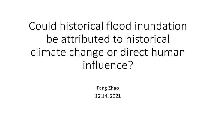
Could historical flood inundation be attributed to historical climate change or direct human influence? Fang Zhao 12.14. 2021
Introduction As the observation techniques improve, more large floods are detected by satellite records in recent years. Tellman et al. (2021) also compiled a large global dataset of historical floods It is unclear if the extent/magnitude of these historical floods is related to historical climate change or human management ISIMIP3a simulation set-up allows for this examination
Method For our regional simulation focused river basins, first identify past flood events (either from previous literature, or Sentinel-1 SAR flood detection) Use daily runoff maps from ~ 1990 (preferably earlier) to 2019, both from historical and counterfactual climate experiments, from the regional modeling teams (also simulate with CWatM for other basins for better global coverage) Drive CaMa-Flood with these daily runoff to simulate historical flood inundations for large flood events, and detect if there is a trend in inundation extent for the river basins
Expected Results Models driven by historical climate data may roughly capture observed flood extent Models driven by counterfactual climate data may simulate smaller extent and magnitude of flood in some events Question: could we determine if historical management (land use change, water withdrawal) affect simulated flood extent as well? Something like 1901soc, or perhaps natural experiment is fine too
Challenges Identify the flood events (focus basins mostly cover areas with not too much human influence) Large requirement of simulated daily gridded runoff data (could all regional models interpolate to gridded runoff?) Simulate these events reasonably well under histsoc/histclim (calibration should still make a difference, although CaMa-Flood will be used)