Integrated Use of Satellite Images and Geospatial Information in LAC Region
Explore the benefits of utilizing satellite images and geospatial information in the Latin America and Caribbean region, facilitated by the Economic Commission for Latin America and the Caribbean (ECLAC). Discover how this integration enhances economic and social development, supports statistical work, and strengthens geospatial data infrastructures. Join the virtual workshop to learn more about the advancements in geospatial information management and the application of satellite imagery for monitoring public policies and addressing regional challenges.
Download Presentation

Please find below an Image/Link to download the presentation.
The content on the website is provided AS IS for your information and personal use only. It may not be sold, licensed, or shared on other websites without obtaining consent from the author. If you encounter any issues during the download, it is possible that the publisher has removed the file from their server.
You are allowed to download the files provided on this website for personal or commercial use, subject to the condition that they are used lawfully. All files are the property of their respective owners.
The content on the website is provided AS IS for your information and personal use only. It may not be sold, licensed, or shared on other websites without obtaining consent from the author.
E N D
Presentation Transcript
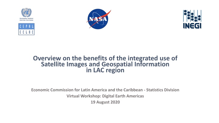
Overview on the benefits of the integrated use of Satellite Images and Geospatial Information in LAC region Economic Commission for Latin America and the Caribbean - Statistics Division Virtual Workshop: Digital Earth Americas 19 August 2020
ECLAC Institutional Mission Promotes economic and social development through regional and subregional cooperation and integration. Provides advisory services to Governments at their request and plans, organizes and executes programmes of technical cooperation. Gathers, organizes, interprets and disseminates information and data relating to the economic and social development of the region. Formulates and promotes development cooperation activities and projects of regional and subregional scope commensurate with the needs and priorities of the region and acts as an executing agency for such projects. Virtual Workshop: Digital Earth Americas 19 August 2020
ECLAC Statistical Work Aims to promote the creation and use of internationally comparable, accurate and timely statistical information. To contribute to the formulation, follow-up and evaluation of economic, social and environmental development policies in the region. This mission is based on three lines of action: (a) Promoting best practices and disseminating internationally comparable methodologies; (b) Providing advisory and technical cooperation services to strengthen countries technical and institutional capacities in the statistical field and facilitate horizontal cooperation and the sharing of expertise; and (c) Carrying out methodological development activities (proposing and adapting indicators). Virtual Workshop: Digital Earth Americas 19 August 2020
Since 2017, ECLAC has been developing a working line on Geospatial Information Management UN-GGIM working groups and frameworks. UN Geospatial Network. Group on Earth Observations. Global Joint work with UN-GGIM Americas. Support regional and subregional projects (CARIGEO, ECLAC MEXICO). Assess progresses in data integration. Regional Support national geospatial information management initiatives. Dissemination of global guidelines: IGIF, GSGF, Strategic Framework for disasters. National Virtual Workshop: Digital Earth Americas 19 August 2020
Our view on the support from Satellite Images to ECLAC working lines Generate new statistical data (social, economy, environment). Support institutional projects on diverse topics (natural resources, sustainable development, population). Strengthening ECLAC data dissemination tools. In-house Building capacities on methodologies for processing satellite images data Support monitoring of public policies based on the analysis of multi-temporal series of images. Strengthening geospatial data infrastructures and national geostatistical frameworks. Technical cooperation Regional or subregional projects Input for initiatives and projects on strengthening geospatial capacities, i.e. CARIGEO, ECLAC Project on Public Investment and Risk Management/Resilience Asset to be considered in the formulation of projects regarding high priority issues and challenges at regional/subregional level. Virtual Workshop: Digital Earth Americas 19 August 2020
By strengthening the geospatial team in 2020, internal ECLAC demands and challenges are being addressed Geospatial component in statistical dissemination platforms Inequality, Small Area Estimation, poverty analysis Statistics Division SDGs and environmental indicators Geospatial analysis of natural resources data i.e biodiversity on eco-regions Natural Resources Estimation of greenhouse gases flows based on inversion models applied to satellite data Sustainable Development Urban areas evolution Gender Georeferencing gender indicators Gender Atlas
COVID-19 has placed us new demands on geospatial support Virtual Workshop: Digital Earth Americas 19 August 2020
Our vision on the coordinated and standardized use of satellite images: benefits for the LAC region Monitoring effectiveness of public policies Enriching geospatial knowledge Input for the production of SDGs indicators DIGITAL EARTH AMERICAS: REGIONAL PUBLIC GOOD Regional priorities: Disaster management Agriculture Water resource management Urban planning Public investment Augmenting and diversifying statistical data Crucial piece of the data ecosystem Virtual Workshop: Digital Earth Americas 19 August 2020
Digital Earth Americas would be welcome! Virtual Workshop: Digital Earth Americas 19 August 2020
Overview on the benefits of the integrated use of Satellite Images and Geospatial Information in LAC region Economic Commission for Latin America and the Caribbean - Statistics Division Virtual Workshop: Digital Earth Americas 19 August 2020


