Investigating Infrasound Sources Within Illgraben Debris-Flows Study
Explore the relationships between infrasound data and hydraulic measurements in the Illgraben catchment, analyzing debris-flow events recorded over a span of years. Discover how maximum RMSA, flow velocity, flow depth, and discharge relate to infrasound peak frequencies and signal patterns.

Download Presentation

Please find below an Image/Link to download the presentation.
The content on the website is provided AS IS for your information and personal use only. It may not be sold, licensed, or shared on other websites without obtaining consent from the author. If you encounter any issues during the download, it is possible that the publisher has removed the file from their server.
You are allowed to download the files provided on this website for personal or commercial use, subject to the condition that they are used lawfully. All files are the property of their respective owners.
The content on the website is provided AS IS for your information and personal use only. It may not be sold, licensed, or shared on other websites without obtaining consent from the author.
E N D
Presentation Transcript
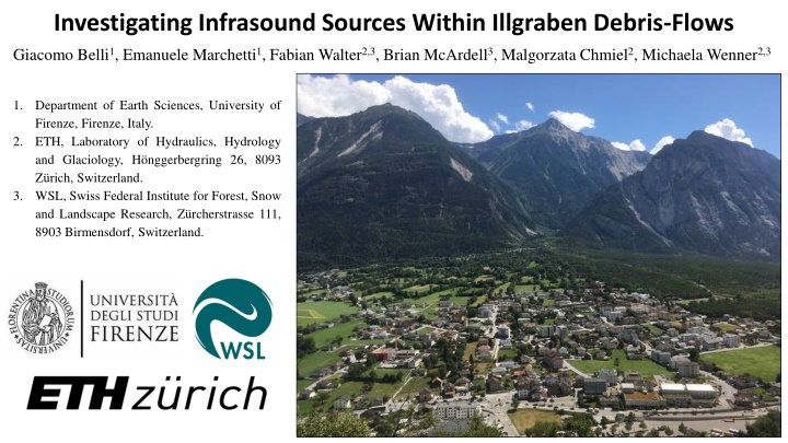
Investigating Infrasound Sources Within Illgraben Debris-Flows Giacomo Belli1, Emanuele Marchetti1, Fabian Walter2,3, Brian McArdell3, Malgorzata Chmiel2, Michaela Wenner2,3 1. Department of Earth Sciences, University of Firenze, Firenze, Italy. ETH, Laboratory of Hydraulics, Hydrology and Glaciology, H nggerbergring 26, 8093 Z rich, Switzerland. WSL, Swiss Federal Institute for Forest, Snow and Landscape Research, Z rcherstrasse 111, 8903 Birmensdorf, Switzerland. 2. 3.
Study site and hydraulic data: the Illgraben catchment is the most active and the best instrumented debris-flow basin in Europe. 29 Check Dams (CDs) and various type of sensors (which measure flow velocity, flow depth etc.) had been placed all along the stream path. In the period 2017-2019 18 debris-flows occurs. Of which 11 events generated detectable infrasound that was recorded by a 4/5 elements infrasonic array (ILG). Signals were analyzed to investigate infrasound source mechanisms within debris-flows. ILG Max Infrasound Infrasound Peak CD16 Debris-Flow Events Flow Velocity (m/s) Flow Depth (m) RMSA (Pa) Frequency (Hz) 2017/05/29 6.67 2.8 0.208 3.4 2017/06/03 5.10 1.9 0.113 5.9 2017/06/14 7.20 2.0 0.166 4.8 2018/07/25 4,70 1.2 0.090 Not discernible 2019/06/21 5.60 2.45 0.145 4.7 2019/07/01 Not Measured Not Measured 0.112 4.9 2019/07/02 3.80 1.62 0.064 Storm Influenced 2019/07/15 5.00 0.68 0.035 6.2 2019/07/26 6.97 1.21 0.098 Storm Influenced 2019/08/11 5.56 Not Measured 0.128 4.9 2019/08/20 0.95 0.89 0.044 6.2
Infrasonic database: infrasound data were filtered between 1 and 20 Hz. Root Mean Square Amplitude (RMSA) was computed on 1-minute- long moving time windows along the entire duration of the events. Thunders Infrasound by debris-flow shows a wide spectrum, with peak frequencies ranging between 3 and 7 Hz
Relationships between infrasound and hydraulic data: maximum RMSA shows positive relationships with maximum both flow velocity (?) and depth (H) and a clear linear relation with discharge per channel width unit (? = ? H). Infrasound peak frequency scales inversely with flow parameters, decreasing when flow velocity, depth or discharge per channel width unit increase.
Array analysis: the 2017/06/03 debris-flow event. The infrasonic signal is dominated by detection clusters generated in fixed position along the channel likely corresponding to Check Dams. Black line = RMSA 193-181 N173 N 158 N 80 N
Array analysis: the 2019/07/15 debris-flow event. The infrasonic signal is dominated by detection clusters generated in fixed position along the channel likely corresponding to Check Dams. Black line = RMSA 154 N 112 N 83 N 31 N 17 N
Discussion and Conclusions: Evidences (summary): 1) Infrasound maximum amplitude shows positive relationships with both flow velocity (?) and depth (H) and a clear linear relationship with discharge per channel width unit (? = ? H). 2) Infrasound peak frequency inversely scales with flow depth, velocity and discharge per channel width unit. 3) Infrasonic signals of debris-flows are dominated by coherent infrasonic detections clusters produced in fixed position along the channel and pointing at the various Check Dams displaced along the Illgraben stream path. Interpretation: Infrasound by debris-flow is likely mostly generated by turbulence-induced oscillations at the free surface of the flow that are generated in fixed positions along the channel, wherever topographic steps (e.g. Check Dams) or accentuate channel bends are present. Larger debris-flows (higher H and ?) generate larger turbulence structures (because of the larger amount of mass and energy involved) and therefore radiates higher amplitude (because of the higher energy involved) and lower frequency (because of the larger duration of the source mechanism) infrasound. Monitoring purposes: 1) and 2) suggest that infrasonic amplitude (RMSA) and peak frequency could be used to estimate in real time the discharge (or the flow depth) of a debris-flow occurring in the Illgraben basin. Detection clusters pointing at the upper-stream CDs (1-16) could be used for infrasound-based early warning systems.