Marine Spatial Planning Initiative: Zoning Design Strategies and Challenges
Explore the technical aspects and tools involved in Seychelles Marine Spatial Planning Initiative for effective zoning design. Learn about rules guiding zoning, tools like Marxan, and the challenges in identifying best areas and values representation.

Download Presentation

Please find below an Image/Link to download the presentation.
The content on the website is provided AS IS for your information and personal use only. It may not be sold, licensed, or shared on other websites without obtaining consent from the author. If you encounter any issues during the download, it is possible that the publisher has removed the file from their server.
You are allowed to download the files provided on this website for personal or commercial use, subject to the condition that they are used lawfully. All files are the property of their respective owners.
The content on the website is provided AS IS for your information and personal use only. It may not be sold, licensed, or shared on other websites without obtaining consent from the author.
E N D
Presentation Transcript
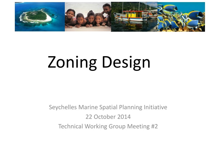
Zoning Design Seychelles Marine Spatial Planning Initiative 22 October 2014 Technical Working Group Meeting #2
Rules to Guide Zoning Design Represent current uses Identify the best areas for a use Identify conflicts and compatibilities Represent values for uses, methodology could include: Set representation goals Set distance targets. Stratify spatially: Plateau Offshore 2
Zoning Design Tools Use systematic planning tools - Marxan - to optimise solutions based on representation goals Hand-drawn solutions using visual inspection and a range of information 3
Challenges Identify best areas for uses Representing values 4