Nation Update: Imagery for the Future Progress and Initiatives
Discover the latest advancements and activities in the National Geospatial Advisory Committee's effort towards enhancing imagery services for the nation. Stay informed about current programs, strategic plans, surveys, and the positive impact on national imagery contracts.
Download Presentation

Please find below an Image/Link to download the presentation.
The content on the website is provided AS IS for your information and personal use only. It may not be sold, licensed, or shared on other websites without obtaining consent from the author. If you encounter any issues during the download, it is possible that the publisher has removed the file from their server.
You are allowed to download the files provided on this website for personal or commercial use, subject to the condition that they are used lawfully. All files are the property of their respective owners.
The content on the website is provided AS IS for your information and personal use only. It may not be sold, licensed, or shared on other websites without obtaining consent from the author.
E N D
Presentation Transcript
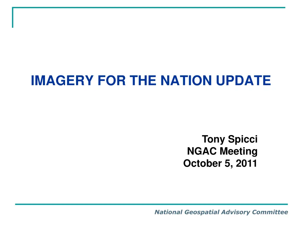
IMAGERY FOR THE NATION UPDATE Tony Spicci NGAC Meeting October 5, 2011 National Geospatial Advisory Committee
Imagery for the Nation Program Contact Federal Contact: Stephen Lowe NGAC Contact: Tony Spicci Current Activities of the Program NAIP continues to work with the States Waiting for feedback from FGDC entire initiative Emerging Issues USDA is progressing in the development of IFTN support services NSGIC Survey to determine the level of interest in national imagery contract(s) National Geospatial Advisory Committee
From the last NGAC Meeting Imagery for the Nation Request for Information Current activities related to IFTN were reviewed. The NGA sponsored a Request for Information (RFI) to gather additional information about IFTN, and the FGDC Executive Committee continues to deliberate on the future direction of IFTN. National Geospatial Advisory Committee
Putting a rumor to rest: IFTN IS NOT A FAILURE National Geospatial Advisory Committee
2011 2013 Strategic Plan Objective 4.2.1 Advocate for developing and funding all nationwide (For the Nation) efforts, such as Imagery, Transportation, Elevation, Addresses and Parcels, including monitoring, participation and reporting on each effort IMAGERY SURVEY National Geospatial Advisory Committee
Reason for Survey Assist the NAIP Program and compliment their Federal agency survey Determine the level of interest in national imagery contract(s) National Geospatial Advisory Committee
States Responding 2011 Imagery Needs Survey September 25, 2011 D C P R VI Very Significant Local Government Participation National Geospatial Advisory Committee
Information Access Access to survey results was provided to NAIP Entire survey is available on line as a summary document or the detailed results can be filtered by the user No need for a dashboard Will post spreadsheet (CSV, Excel), Relational Database and PDF Summary National Geospatial Advisory Committee
What NSGIC Learned 290 Respondents (46% state and 37% county) Unlike the large national IFTN survey in 2006, the respondents were clearly giving us accurate feedback and understood their business needs What we generally believe about leaf-on and leaf-off imagery was validated no real surprises NAIP was validated as a good choice for leaf-on imagery - also need higher-resolution leaf-off products Demand for even higher resolutions has significantly increased over the past ~5 years reflecting the actual acquisitions by states and local governments National Geospatial Advisory Committee
Basic Values of National Contract Individual states would not have to develop their own imagery contracts (cost reduction). States would most likely realize a reduction in per square mile imagery costs. Imagery products would be consistent with the surrounding states. Multiple states could potentially partner together on task orders to further reduce their overall costs. Buy-up options to meet business needs National Geospatial Advisory Committee
Whats Next? NSGIC s principal reason for conducting the survey was to gauge interest in a national contract that would be available to the states and their partners. It appears that there is significant interest Only 3% not interested and 14% Not Sure The initial concept is that one state would let a contract through the Western States Contracting Alliance (WSCA) that all other states could use. We are following the interest in the Cloud Computing contract that MT, UT, CO and OR are letting through WSCA. Advantage is that the CIO s already understand and support this method NSGIC Members will determine if and how we proceed. Discussion will occur here o o o National Geospatial Advisory Committee
Next Steps Request that the FGDC Executive Committee provide a clear and definitive statement on IFTN and outline the next steps to move IFTN forward and make it relevant to the Federal, state and local government users. National Geospatial Advisory Committee


