The North Sea Hydrographic Commission's achievements from 2016-2018 include collaborative efforts in improving reference surfaces, analyzing tidal data, and enhancing survey strategies. Key focus areas involve establishing common boundaries, conducting risk assessments, and proposing practical solutions for better data exchange. Member countries like Belgium, Denmark, France, Germany, Iceland, Netherlands, Norway, and the United Kingdom have actively participated in these initiatives, aiming for mutually beneficial outcomes in marine charting and navigation.
Please find below an Image/Link to download the presentation.
The content on the website is provided AS IS for your information and personal use only. It may not be sold, licensed, or shared on other websites without obtaining consent from the author. If you encounter any issues during the download, it is possible that the publisher has removed the file from their server.
You are allowed to download the files provided on this website for personal or commercial use, subject to the condition that they are used lawfully. All files are the property of their respective owners.
The content on the website is provided AS IS for your information and personal use only. It may not be sold, licensed, or shared on other websites without obtaining consent from the author.
E N D
Presentation Transcript
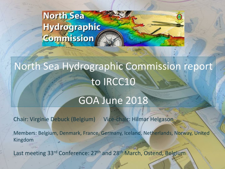
North Sea Hydrographic Commission report to IRCC10 GOA June 2018 Chair: Virginie Debuck (Belgium) Vice-chair: Hilmar Helgason Members: Belgium, Denmark, France, Germany, Iceland, Netherlands, Norway, United Kingdom Last meeting 33rd Conference: 27th and 28th March, Ostend, Belgium
Achievements 2016-2018 22nd Tidal WG, Ostend, 25th and 26th October 2017 7th Resurvey WG, London, 7th and 8th November 2017 Establishment of the International Chart Coordination WG 33rd NSHC Conference: 27th and 28th March, Ostend, Belgium
22nd Tidal WG (2/3) : Common Reference Surface BE DK FR GE NL NO UK SW IC BE DK 1 FR 2 1 GE 1 4 1 NL 4 1 1 4 NO 1 2* 1 1 1 UK 3 3 4 3 3 2* SW 1 2* 1 1 1 2* 1 IC 1 1 1 1 1 1 1 1 Legend: 1: no common LAT boundary 2: differences on a common boundary but not checked 2*: differences on a common boundary, not checked, different CD 3: differences on a common boundary checked to be not significant 4: differences on a common boundary checked to need to be reduced Thanks to R. Kuilman NLHO
22nd TWG (3/3): Common Reference Surface - Results Next steps for WP Item 18/01 Revisit the usefulness of the 1% norm Now arbitrarily chosen: LAT difference/ depth Make a proposal for something more practical Continue studying differences with the aim to improve the LAT surfaces Examine the origin of the observed differences Make error estimates on each reference surface Compare whole reference surfaces iso. only borders
7th Resurvey WG (1/2) Risk assessment is for the time being continued on the levels of data exchange and mutual assessment of each other s policies using relevant datasets. AP7: Provision of CATZOC polygons AP9: Provision of resurvey frequency plan AP10: Risk Assessment : Dover Strait Survey Strategy (DSSS Area) BE, FR, NL, UK. Ambition common strategy for Dovers Straits For time being share and evaluate each others strategies http://nshc.pro/?p=185
7th Resurvey WG (2/2) WRT IHO CSB paper: comments by each individual MS Discussion on CSB on ferries WRT new techniques i.e. LIDAR, SDB, CSB and autonomous surveying: MS shared experiences General: exchange of information between the MS on recent developments concerning new ships, applications,
North Sea Int. Chart Coordination WG Replaces former North Sea ENC Harmonisation WG Overlap IENC : has been removed as much as possible between the different neighbouring countries within the North Sea Region First meeting: still to be planned
33ndNSHC: Open AP and decisions (1/2) 1/2018: Crowd sourced data: RWG investigates how CSD can support work of NSHC 2/2018: DE organises workshop on sharing knowledge and experiences of Contouring algorithms 6/2016: Vertical reference (LAT) comparison: in accordance with AP 18/1 of TWG Including validity of 1% norm 3/2010: overview and harmonization of resurvey schemes, availability on NSHC.pro for whole NSHC region
33nd NSHC: Open AP and decisions 6/2014: North Sea wide Risk Assessment, including Dover straits Risk assessment is for the time being continued on the levels of data exchange and mutual assessment of each other s policies using relevant datasets There will be no North Sea wide Risk assessment, but the RWG will reconsider this for the DSSS area due to its specific characteristics. (see AP10 of 7thRWG) 8/2014: MS nominate contact person fotrMSDI WG: list is not complete
Action required? The IRCC is invited to note the report of the NSHC Thank you for your attention


: Common Reference Surface")
 : Common Reference Surface")
: Common Reference Surface - Results")
")
")

")