Optical Layers Deployment Project Summary
"Join the research expedition focusing on remotely detecting and characterizing particle layers in the ocean using advanced sensors. Explore the Gulf of Mexico to assess optical fields for better coastal ocean forecasting. Discover the vessel, equipment, and goals driving this innovative study."

Download Presentation

Please find below an Image/Link to download the presentation.
The content on the website is provided AS IS for your information and personal use only. It may not be sold, licensed, or shared on other websites without obtaining consent from the author. If you encounter any issues during the download, it is possible that the publisher has removed the file from their server.
You are allowed to download the files provided on this website for personal or commercial use, subject to the condition that they are used lawfully. All files are the property of their respective owners.
The content on the website is provided AS IS for your information and personal use only. It may not be sold, licensed, or shared on other websites without obtaining consent from the author.
E N D
Presentation Transcript
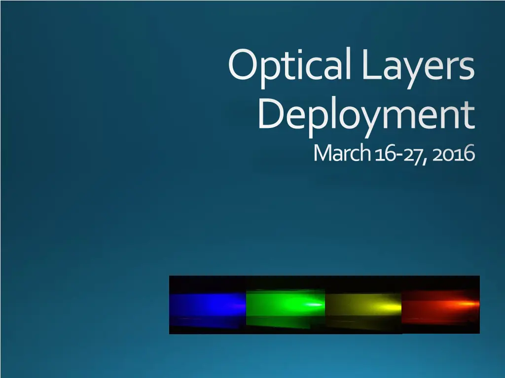
Optical Layers Deployment March 16-27, 2016
Goals Project Remotely detect and characterize particle layers in the ocean with combined active/passive sensors Assimilate layer information into 3-D models to better forecast the optical fields in the coastal ocean Cruise Test newly developed techniques and methods with ship- borne polarimetric and multi-wavelength lidars Test ability of the Calipso spacebornelidar to detect subsurface layers
Location Northern Central Gulf of Mexico Mississippi River plume East of Mississippi Delta Near Barrier Islands of Alabama, Mississippi General Experiment area
Vessel R/V Pelican Based in Cocodrie, LA 116 in length 18 days endurance 3500 mile range 8 kn cruising speed 12-14 science crew
Equipment\Data Collection Multi-wavelength lidar Polarimetric lidar Profiling lidar In-water optics In-and Above-water Radiometry Water Samples Towed, undulating Scanfish Bottom-mounted Profilers (BOPPERS) Wire Mooring
Equipment\Data Collection Multi-wavelength lidar(MuWLE) Daytime wavelengths: 440, 488, 532, 580, 633, 676 nm Nighttime wavelengths: 420, 440, 488, 500, 515, 532, 565, 580, 600, 633, 650, 676 nm Fluorescence filters: 530, 595, 685 nm Polarimetriclidar(SLOP) 532 nm, linear and circular co- and cross polarization channels, two fields of view (?) Profiling lidar 532 nm, linear co- and cross-polarization channels, two fields of view In-water optics Hyperspectral absorption, scattering, and attenuation coefficients, CDOM absorption, backscattering coefficients, volume scattering functions, particle size distributions In-and Above-water radiometry Hyperpro in-water hyperspectral downwelling irradiance, upwelling radiance ASD above-water remote sensing reflectance Water samples Pigment concentrations (HPLC), total suspended solids (TSS), organic and inorganic fractions (PIM,PIM)
Equipment\Data Collection Towed undulating vehicle (Scanfish) CTD, hyperspectral absorption, scattering, and attenuation coefficients, 3-channel backscattering (440, 532, 650 nm), fluorescence (CDOM, Chlorophyll, phycoerythrin), 7-channel downwelling irradiance (412, 443, 490, 532, 555, 670, PAR), oxygen Bottom mounted profilers (BOPPERS) Current profilers (ADCPs), 7-channel downwelling irradiance (412, 443, 490, 532, 555, 670, PAR), 3-channel backscattering (443, 532, 650 nm), fluorescence (CDOM, Chlorophyll, phycoerythrin), attenuation (650 nm) Wire mooring CTDs, backscattering/fluorescence (532, 650, Chlorophyll)
Science Crew Personnel Affiliation Role Deric Gray NRL-DC Lidar, IOPs, AOPs, dye, meddling Glen Frick NRL-DC Lidar, dye Derek Burrage NRL-SSC Scanfish, moorings Joel Wesson NRL-SSC Lidar, scanfish Wes Goode NRL-SSC IOPs, AOPs, lidar, scanfish, moorings Andy Quaid NRL-SSC Scanfish, moorings Ian Martens NRL-SSC Scanfish, moorings Fraser Dalgleish HBOI Profiling Lidar Anni Dalgleish HBOI Profiling Lidar Nicole Stockley HBOI IOPs Bob Stavn UNCG Water samples Amy Gonsalves UNCG Water samples
Mooring Locations and Calipso Overpasses 2016-03-24 0755Z 2016-03-20 1918Z BOPPERs (ADCPs, profiling optics) Wire Mooring (CTD, backscattering/ fluorescence) Barneys (ADCPs) Note: There is some uncertainty in Calipso tracks; will adjust mooring locations when we get better track predictions
Stations/Scanfish/Lidar Stations will be categorized as long (LS) and short (SS), depending on data collected Long Station CTD/water samples Optical profiler MVSM/LISST Profiling lidar Hyperpro ASD Short Station CTD/water samples (possible) Optical profiler MVSM/LISST ASD Scanfish tows with coincident ship-based lidar will take place between stations. We expect variations to scanfish tows and long and short stations throughout the cruise
Station Locations Orange indicates potential locations of dye releases See kml file for long and short stations and scanfish tows
Deck Layout Possible deck layout Space will be tight Wire Basket Wire Basket Dye Depressor (stowed) Anchors BOPPER mount BOPPER mount Scan- fish Winch ? MVSM /LISST Scanfish Wire Basket Crate CTD Wire Basket HBOI Lidar (?) HBOI IOPS
Dye Release Surface and subsurface releases Outrigger will be installed and deployed on port side Surface release from sprayer attached to outrigger Towed depressor from outrigger with dye diffusers at discrete depths Outrigger Outrigger (stowed)
Dye Release Sketch of subsurface dye release Outrigger block deck cable hoses Water level diffuser R/V s hull CTD diffuser diffuser diffuser depressor CTD diffuser