Panama Maritime Authority Achievements and Challenges 2018
Explore the accomplishments and obstacles faced by the Panama Maritime Authority in 2018, including active participation in hydrography committees, bathymetric surveys, and the establishment of the Panama Hydrographic and Oceanographic Commission. Discover their efforts towards creating a comprehensive Nautical Cartography Plan for safer navigation in Panama's waters.

Download Presentation

Please find below an Image/Link to download the presentation.
The content on the website is provided AS IS for your information and personal use only. It may not be sold, licensed, or shared on other websites without obtaining consent from the author. If you encounter any issues during the download, it is possible that the publisher has removed the file from their server.
You are allowed to download the files provided on this website for personal or commercial use, subject to the condition that they are used lawfully. All files are the property of their respective owners.
The content on the website is provided AS IS for your information and personal use only. It may not be sold, licensed, or shared on other websites without obtaining consent from the author.
E N D
Presentation Transcript
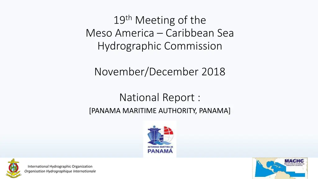
19thMeeting of the Meso America Caribbean Sea Hydrographic Commission November/December 2018 National Report : [PANAMA MARITIME AUTHORITY, PANAMA] International Hydrographic Organization Organisation Hydrographique Internationale
Main achievements during the year Regular participation in different Hydrographycs Committees MACHC18, IC-ENC (Validation Training Course and Steering Committee). Bathymetric Survey by NAVOCEANO in January 2018 for actualization. Panama Canal Pacific entrance. Actualization of National Bathymetric Plan Thesis from FOCAHIMECA student for the certification. Preparation of the Manual of good dredging practices, which included: use of dredged material for productive use. Characterization of the dredged material (first phase of future requirements for dredging requests). Obtaining boat for bathymetric surveys and Obtaining hydrographic equipment as part of agreements with UKHO. International Hydrographic Organization Organisation Hydrographique Internationale 2
Main challenges and/or obstructions Approval by the (MEF) Ministry of Economy and Finance, for the creation of the Department of Hydrography of the Maritime Authority of Panama. Installation of hydrographic equipment. Training of technical personnel, for the use of (M3 Sonar PHS) Portable hydrographic system. Execution of the National Bathymetric Plan starting with coastal surveys in 2019. International Hydrographic Organization Organisation Hydrographique Internationale 3
PANAMA HYDROGRAPHIC AND OCEANOGRAPHIC COMMISSION (CHOPAN) Stablished in 2009 by 4 gubermental organization: Panama Maritime Authority Panama Canal Authority National Service Aircraft National Geographical Institute MiAMBIENTE National System of Civil Protection International Hydrographic Organization Organisation Hydrographique Internationale 4
Panama Nautical Cartography Plan Abstract The Nautical Cartography Plan for the Republic of Panama represents a complete coverage of the jurisdictional waters, this will help safe navigation between ports at the national level for both national and international vessels. Correspondence Waters of the Panama Canal Authority. Source: Thesis by Eng. Juan Carlos Kelso - FOCAHIMECA International Hydrographic Organization Organisation Hydrographique Internationale 5
International Hydrographic Organization Organisation Hydrographique Internationale 6


")