Develop a comprehensive EP18 document to standardize geohazard assessments conducted by geomaticians globally. The initiative aims to establish consistent workflows, optimize efficiency, reduce costs, and enhance the interpretation of geohazard maps. By implementing standardized procedures, the project seeks to improve time management, facilitate task transitions among analysts, and deliver time/cost-saving benefits through increased operational efficiency.
Please find below an Image/Link to download the presentation.
The content on the website is provided AS IS for your information and personal use only. It may not be sold, licensed, or shared on other websites without obtaining consent from the author. If you encounter any issues during the download, it is possible that the publisher has removed the file from their server.
You are allowed to download the files provided on this website for personal or commercial use, subject to the condition that they are used lawfully. All files are the property of their respective owners.
The content on the website is provided AS IS for your information and personal use only. It may not be sold, licensed, or shared on other websites without obtaining consent from the author.
E N D
Presentation Transcript
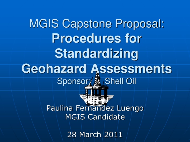
MGIS Capstone Proposal: Procedures for Standardizing Geohazard Assessments Sponsor: Shell Oil Paulina Fernandez Luengo MGIS Candidate 28 March 2011
Objectives To develop an EP18 document, to be used by Geomaticians around the world, of the procedures required to carry out geohazard assessments. Typical maps (created with ArcGIS): Location Bathymetry Rendered Seafloor Seafloor Slope Geohazards Avoidance The term EP18 is used by Shell to refer to a document defining the preferred standard procedures and work instructions for performing certain tasks/ functions. 28 March 2011 2
Background Lack of standards for generating sub-surface geohazard maps Need for developing preferred workflows and processes to optimize efficiency and reduce costs Desire to ensure consistency and standardization across all operating units 28 March 2011 3
What are the benefits? Develop and maintain best practice Ensure consistency and improve ease of interpretation Develop standardized map products Minimize time required to perform analyses and prepare deliverables Facilitate transition of tasking to new analysts Provide time/cost-saving benefits through increased efficiency 28 March 2011 4
Geohazards Assessment Team Identify sub-surface hazards - Shallow gas - Shallow Water Flow (SWF) - Gas hydrates - Sandy depositional systems - Faulting Identify seafloor hazards - Slope instability - Fault scarps - Fluid expulsion - Man-made debris - Thalwegs - Biological/ chemosynthetic communities - Pockmarks - Ridges Provide advice on pipeline routing and avoidance areas to exploration, development and production 28 March 2011 5
Geomatics Team Ensure geodetic integrity for all spatial data Convert x,y,z point data into raster and vector data Create geohazard map deliverables - Location Bathymetry - Rendered Seafloor - Seafloor Slope - Geohazards Avoidance 28 March 2011 6
Workflow of Geohazards Assessment Geohazards Assessment Team Survey imported into Shell proprietary subsurface application Surfaces interpreted and depth calibrated 3D Survey of Area Archived to appropriate Shell corporate stores Export to ASCII file and convert into raster and vector data Geohazard maps delivered to customer Location Bathymetry Rendered Seafloor Seafloor Slope Geohazards Avoidance Geomatics Team 28 March 2011 7
Geohazard Maps Example of Location Bathymetry 28 March 2011 8
Components of Deliverables EP18 report documenting the detailed procedures and work instructions required to generate standard geohazard map products. ArcGIS topics that will be documented are: Coordinate Reference System Importing/ Exporting Large ASCII files (conversion) Gridding algorithms (IDW, Kriging, Spline) Skewed vs Non-Skewed Grids Hillshading (Azimuth and Altitude) Slope Contouring Color Ramps Creating custom style files Smoothing Labeling Editing legend items ArcScene/ ArcGIS Explorer 28 March 2011 11
Project Timeline Submittal of 1st draft for interim review Submittal of 3rd draft for interim review Create work procedures for Rendered Seafloor Capstone Proposal Presentation (28 March) Finalize deliverables and Capstone Presentation to Shell Revise based on feedback 15-Feb 1-Mar 15-Mar 1-Apr 15-Apr 1-May 15-May 1-Jun 15-Jun 1-Jul 15-Jul 1-Aug Create work procedures for Seafloor Slope Finalize Capstone Review Revise based on feedback Development of proposal 3x Create work procedures for Location Bathymetry Submittal of 2nd draft for interim review Revise Bold = Major milestone 28 March 2011 12
Project Management Tools Schedule Microsoft Project to identify and keep track of tasks, milestones and due dates (coordinated with Shell) Communication Weekly updates on progress via email/phone (with Shell and advisor) Regular face-to-face interaction (with Shell) Quality Several review cycles of deliverables (with Shell and advisor) 28 March 2011 13
Acknowledgements Patrick Kennelly Capstone Advisor The Pennsylvania State University Steve Long Geo-Information Consultant Shell International Exploration & Production Jack Verouden Geomatics Global Discipline Head Shell International Exploration & Production 28 March 2011 15


")
")