Project Progress Report for Freeman Ranch Flood Inundation Model
This progress report details the ongoing work on the flood inundation model for Freeman Ranch, emphasizing data gathering, model creation, and automation. The report includes project purpose, scope expansion to include the watershed, and task methodologies.

Download Presentation

Please find below an Image/Link to download the presentation.
The content on the website is provided AS IS for your information and personal use only. It may not be sold, licensed, or shared on other websites without obtaining consent from the author.If you encounter any issues during the download, it is possible that the publisher has removed the file from their server.
You are allowed to download the files provided on this website for personal or commercial use, subject to the condition that they are used lawfully. All files are the property of their respective owners.
The content on the website is provided AS IS for your information and personal use only. It may not be sold, licensed, or shared on other websites without obtaining consent from the author.
E N D
Presentation Transcript
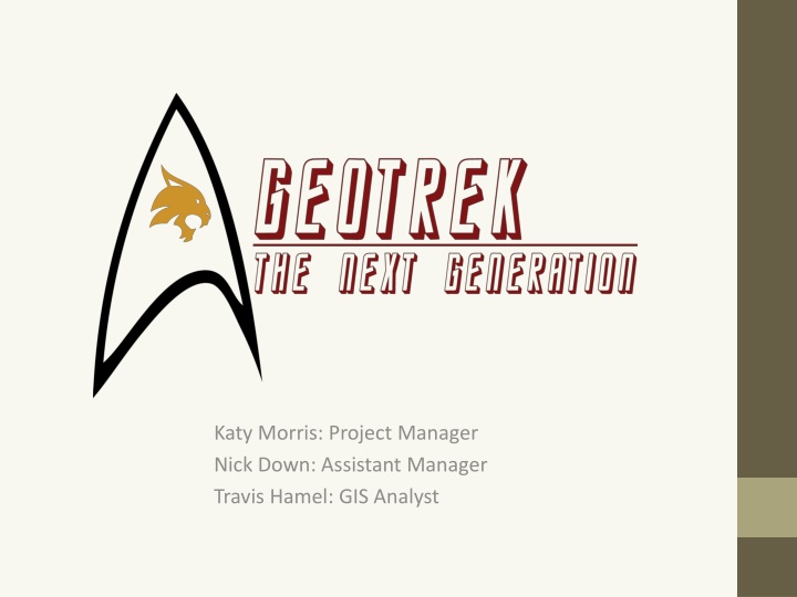
Katy Morris: Project Manager Nick Down: Assistant Manager Travis Hamel: GIS Analyst
Freeman Ranch Flood Prediction Model Image Credit: Art Arizpe Prepared by GeoTrek The Next Generation
Background Major precipitation event in October 2013 Led to flooding in Freeman Ranch Before After
Background People were trapped at the ranch Total fence property damage est. $140,000
Summary GeoTrek: The Next Generation began work on February 12th after the acceptance of project proposal This progress report reiterates both the purpose and scope of our project Informs the interested parties of our current progress Shows a revised timeline
Purpose To create a flood inundation model of Freeman Ranch. With this model we hope to be able to provide data to better insure the safety of both human and livestock on the ranch. 1. Task 01: Gather and Process Data 2. Task 02: Create Flood Inundation Model 3. Task 03: Automate the Model and Compare Findings to Known Data The model will be able to show which of Freeman Ranch s fence lines, roads, and structures are inundated at which times.
Scope The original scope of the project focused on the immediate boundaries of Freeman Ranch and prioritized three areas of importance when modeling flood inundation: Fences Access roads for employees Physical infrastructure As an addition and update to the scope of the project the watershed surrounding Freeman Ranch was also delineated and included as a possible area that influences rising waters on Freeman Ranch s property.
Task 01 Methodology for preparing DEM This allowed for the isolation of the Sink Creek watershed and the Freeman Ranch terrain These steps provide us with the basemap of our flood model concentrating on the Freeman Ranch Area.
Task 02 Obtained grid-system for analysis, began designing model Created basic algorithm (below) Will become more complex as the project progresses Problem: Not knowing which values to use if waterLyr is not noData increase cellValue else if if surrounding cells have water if highest neighbor value is greater than current cell value set cell to water value else do nothing
Task 03 Use ArcGIS to automate the watershed Analyze the GIS of Freeman Ranch to determine which areas are inundated Compare our model to known data Compile a list of High Risk Zones
Revised Timetable Week Date 1/22 1/29 2/5 2/12 2/19 2/26 3/5 3/12 3/19 3/26 4/2 4/9 4/16 4/23 4/30 5/2 Activity Week No. 0 1 2 3 4 5 6 7 8 9 10 11 12 13 14 15 * Meet with client; research * Data collection, manipulation Pre-process data * Analysis and Interpretation Edit; finalize Preparation of final product * Final presentation Weeks with important dates * 1/22 Receive request for proposal from client 2/12 Proposal to client 3/26 Progress report to client 5/2 Final project presentation to client
Conclusions GeoTrek: TNG will create a real-time flood model The original scope and timetable have been revised to create more accurate results Completed data acquisition and preprocessing Model and algorithm is a work in process Implementation and comparison will begin shortly Overall will aid Freeman Ranch to assess flood inundation
Participation Katy Morris: Project Manager, Editor Nick Down: Assistant Manager, Graphic Designer Travis Hamel: GIS Analyst, Primary Researcher