Reduction of FAR in Lightning Evaluation RITT Presentation
Total Lightning utilizes a different sensor to capture step charge release locations in three dimensions, impacting fewer people directly but with potential indirect benefits. This project, led by Tom Filiaggi and Steve Goodman among others, focuses on Lightning Mapping Arrays and previous research findings on lightning jump configurations. The team's analysis and results aim to improve understanding and future mitigation strategies in severe storm locations. Sensors like the Lightning Mapping Array play a crucial role in detecting lightning activity for effective monitoring and assessment.

Download Presentation

Please find below an Image/Link to download the presentation.
The content on the website is provided AS IS for your information and personal use only. It may not be sold, licensed, or shared on other websites without obtaining consent from the author.If you encounter any issues during the download, it is possible that the publisher has removed the file from their server.
You are allowed to download the files provided on this website for personal or commercial use, subject to the condition that they are used lawfully. All files are the property of their respective owners.
The content on the website is provided AS IS for your information and personal use only. It may not be sold, licensed, or shared on other websites without obtaining consent from the author.
E N D
Presentation Transcript
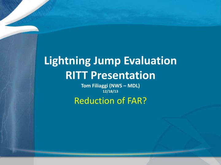
Lightning Jump Evaluation RITT Presentation Tom Filiaggi (NWS MDL) 12/18/13 Reduction of FAR?
Agenda Team Members Total Lightning Lightning Mapping Arrays (LMAs) Previous Research Summary Current Project Analysis & Results Future Work
Team Primary Members Person Role Affiliation Tom Filiaggi Co-Lead OST - MDL Steve Goodman Co-Lead NASA Larry Carey PI University of Alabama: Hunstville Themis Chronis Analyst University of Alabama: Hunstville Chris Schultz Consultant University of Alabama: Hunstville / NASA Kristin Calhoun PI National Severe Storms Laboratory Greg Stumpf Consultant OST - MDL Geoffrey Stano Consultant NASA Daniel Melendez Consultant OST - SPB Scott Rudlosky Consultant NESDIS Steve Zubrick Consultant WFO Sterling, VA (LWX) About 15 additional people from a handful of additional agencies participated in various discussions.
Total Lightning Most familiar is Cloud-to-ground (CG): point locations at ground level Uses certain types of electromagnetic field sensors Can directly impact more people Total Lightning: uses a different kind of sensor to obtain step charge release locations for all flashes (not just CG) Location is in full 3 dimensions More difficult to sense with sufficient accuracy need more sensors Less direct societal impact to people, but can be used indirectly, perhaps with significant value (Image borrowed from http://weather.msfc.nasa.gov/sport/lma/)
Sensors: Lightning Mapping Array Predominant sensor array type used by this project Uses time of arrival and multilateration to locate step charges
Sensors: Lightning Mapping Array NALMA example Sensor distribution and effective domain (Images borrowed from http://weather.msfc.nasa.gov/sport/lma/)
Summary of Previous Research Schultz et al. (2009), JAMC Six separate lightning jump configurations tested Case study expansion: 107 T-storms analyzed 38 severe 69 non-severe The 2 configuration yielded best results FAR even better i.e.,15% lower (Barnes et al. 2007) Caveat: Large difference in sample sizes, more cases are needed to finalize result. Thunderstorm breakdown: North Alabama 83 storms Washington D.C. 2 storms Houston TX 13 storms Dallas 9 storms Algorithm Gatlin POD 90% FAR 66% CSI 33% HSS 0.49 Gatlin 45 2 3 Threshold 10 Threshold 8 97% 87% 56% 72% 83% 64% 33% 29% 40% 42% 35% 61% 45% 49% 50% 0.52 0.75 0.65 0.66 0.67 Slide contents borrowed from Schultz (UofAH) presentation.
Summary of Previous Research Schultz et al. 2011, WAF Expanded to 711 thunderstorms 255 severe, 456 non severe Primarily from N. Alabama (555) Also included Washington D.C. (109) Oklahoma (25) STEPS (22) Slide contents borrowed from Schultz (UofAH) presentation.
Summary of Previous Research The performance of using a 2 Lightning Jump as an indicator of severe weather looked very promising (looking at POD, FAR, CSI)! But . . . The Schultz studies were significantly manually QCed, for things like consistent and meteorologically sound storm cell identifications. The Schultz studies also did not do a direct comparison to hoe NWS warnings performed for the same storms. How would this approach fare in an operational environment, where forecasters do not have the luxury of baby-sitting the algorithms?
Current Project Primary Goal: Remove the burden of manual intervention via automation then compare results to previous studies to see if an operational Lightning Jump will have operational value. Secondary Goals: Use & evaluate a more reliable storm tracker (SegMotion (NSSL) over TITAN (NCAR) and SCIT (NSSL)). Provide an opportunity to conduct improved verification techniques, which require some high- resolution observations.
Current Project Purpose: Evaluate potential for Schultz et al. (2009, 2011) LJA to improve NWS warning statistics, especially False Alarm Ratio (FAR). Objective, real-time SegMotion cell tracking (radar-based example upper right) LMA-based total flash rates (native LMA, not GLM proxy). Increased sample size over variety of meteorological regimes (LMA test domains bottom right) Storm Objects WSR-88D WDSSII K-means storm tracker. DCLMA OKLMA NALMA WTLMA OKLMA SWOK KSC LMA Test Domains Slide contents borrowed from L. Carey (UofAH) presentation.
Analysis Data Data from 2012 was not usable due to integrity issues. Would need to re-process in order to use. Collected from 3/29/13 through 8/14/13, includes: 131 storm days 3400+ tracked storm clusters Nearly 600 of which experienced Lightning Jumps Nearly 675 Storm Reports recorded Results of variational analyses: POD = 64-81% FAR = 75-84% Lead Time = ~25 minutes (but with standard deviation of 12-13 minutes) Best Sigma = 1.2-1.7 Best Threshold = 9-12 flash/minute
Analysis FAR values much higher than previous studies. (POD was essentially the same.) FAR could improve to 55-60%, if we can account for: Storm Tracking imperfections Low-population storm report degradation Application of a 50 flash/minute severe weather proxy Change in verification methodology (allow double counting of severe reports) But, FAR still significantly higher than previous studies - !?
Analysis: FAR Differences What could explain the different results of FAR? Geography differing climatology (predominant severe weather types: hail in OK) population density (storm reports: OK less dense) Methodology subjective storm track extension Different Storm Tracker behaviors Data Integrity Some unexplained data drops were noted, but not analyzed
Future Work Explore enhanced verification techniques using extensive SHAVE data (already gathered) and funded by the GOES-R program. Explore refined methodologies (to compensate for the removal of manual QC care and attention).
The End Questions? Tom.Filiaggi@noaa.gov VLab Community: https://nws.weather.gov/innovate/group/lightning/home Email listserver: total_lightning@infolist.nws.noaa.gov
Graphics: Methodology Example of POD and FAR calculation for a multi-jump and multi-report cluster. Green triangles represent the issued jumps while brown squares represent the matched SPC severe weather reports. Each jump is valid for 45 minutes. For the first jump s time window, 2 severe weather reports are present. These are counted as 2 hits. For the second there are no additional SPC reports beyond the first two which are already accounted for by the first jump. The second jump constitutes a false alarm . The third jump counts as a hit 9with 3rd report). For the fourth there are no additional reports other than the third report which is already accounted for by the previous jump. This counts as an additional false alarm . From this particular cluster, a total of 3 hits, 2 false alarms and 0 misses are counted.
Graphics: Data Integrity Related to the Oklahoma tornado outbreak on May 31, 2013. Blue line is LMA flashes/min/km2 (left y-axis), red line is the NLDN flashes/min/km2. Note the discrepancy around 22:20 - 22:33 between the two lightning detection systems. (Green triangles represent the issued jumps while brown squares represent the matched SPC reports.)
Graphics: Variational Analysis Calculation of POD (blue) and FAR (red) as a function of LJA sigma (y-axis, flashes/min) and lightning flash rate (x-axis, flashes/min) for both Scenarios and imposing the stricter SPC- SWR spatial/temporal matching criteria [i.e. 5 km/20 minutes and considering for clusters that have a life span of at least 30 minutes].