Report on Worldwide ENC Database Working Group Meeting
International Hydrographic Organization's report on the progress and status of the ENC Scheme in Region H, including details of existing and planned Electronic Nautical Charts. The report also highlights issues of overlapping ENCs affecting safe navigation.

Download Presentation

Please find below an Image/Link to download the presentation.
The content on the website is provided AS IS for your information and personal use only. It may not be sold, licensed, or shared on other websites without obtaining consent from the author.If you encounter any issues during the download, it is possible that the publisher has removed the file from their server.
You are allowed to download the files provided on this website for personal or commercial use, subject to the condition that they are used lawfully. All files are the property of their respective owners.
The content on the website is provided AS IS for your information and personal use only. It may not be sold, licensed, or shared on other websites without obtaining consent from the author.
E N D
Presentation Transcript
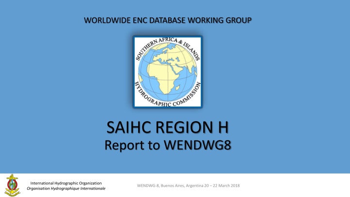
WORLDWIDE ENC DATABASE WORKING GROUP SAIHC REGION H Report to WENDWG8 International Hydrographic Organization Organisation Hydrographique Internationale WENDWG-8, Buenos Aires, Argentina 20 22 March 2018
SAIHC Approved ENC Scheme Good progress being made S11 style format used for ENC catalogue Includes all published ENC details Planned ENCs added as they are schemed PDF booklet format available Graphics show scheming of cells by band and country Produced using ARC GIS International Hydrographic Organization Organisation Hydrographique Internationale IHO COUNCIL
Cell details are listed in an accompanying table in the familiar S11 format Planned ENCs are shown in red IHO COUNCIL
Status of the ENC Scheme in Region H UB 3 ENC COVERAGE (Coastal) International Hydrographic Organization Organisation Hydrographique Internationale WENDWG-8, Buenos Aires, Argentina 20 22 March 2018
Status of the ENC Scheme in Region H UB 2 ENC COVERAGE (General) International Hydrographic Organization Organisation Hydrographique Internationale IHO COUNCIL
Status of the ENC Scheme in Region H UB 1 ENC COVERAGE (Overview) International Hydrographic Organization Organisation Hydrographique Internationale IHO COUNCIL
Existence of overlapping ENCs that may have a possible impact on safe navigation - Overlap of ENCs exist in UB1 between Russia and Australia (related to WENDWG action). - Overlap to be resolved under coordination of the ICC-Coordinator Region H, in conjunction with WEND Chair. - Letter sent to RU and AU requesting proposed action in resolving the overlap International Hydrographic Organization Organisation Hydrographique Internationale WENDWG-8, Buenos Aires, Argentina 20 22 March 2018
Existence of overlapping ENCs that may have a possible impact on safe navigation ..cont. - Overlap of ENCs exist in UB1 between ZA and the UK as indicated in the IC-ENC Overlap report (2018) and PRIMAR OVERLAP CHECKER. - Overlap resolution in progress. International Hydrographic Organization Organisation Hydrographique Internationale IHO COUNCIL
Coverage issues, gaps and risk assessment analysis Creation of ENC schemes - ICCWG Coordinator for Region H to define ENC scheme initially from Mozambique to northern limit of SAIHC Region H related to IRCC Action item. Works in progress. International Hydrographic Organization Organisation Hydrographique Internationale WENDWG-8, Buenos Aires, Argentina 20 22 March 2018
Problems or outstanding issues, Recommendations - Representation by SAIHC at WENDWG not always possible due to varying internal challenges. Correspondence and participation by email if attendance not possible. - SAIHC is in full support for the development of the trial ENC scheme (INT paper chart schema equivalent) and in the process of defining minimum meta data required to support the development. International Hydrographic Organization Organisation Hydrographique Internationale WENDWG-8, Buenos Aires, Argentina 20 22 March 2018