Explore the Seychelles Marine Spatial Planning Initiative through participatory mapping, focusing on socio-economic aspects, data layers, and planning tools. Discover the best areas for current and future uses, climate change considerations, and essential questions for sustainable development.
Please find below an Image/Link to download the presentation.
The content on the website is provided AS IS for your information and personal use only. It may not be sold, licensed, or shared on other websites without obtaining consent from the author. If you encounter any issues during the download, it is possible that the publisher has removed the file from their server.
You are allowed to download the files provided on this website for personal or commercial use, subject to the condition that they are used lawfully. All files are the property of their respective owners.
The content on the website is provided AS IS for your information and personal use only. It may not be sold, licensed, or shared on other websites without obtaining consent from the author.
E N D
Presentation Transcript
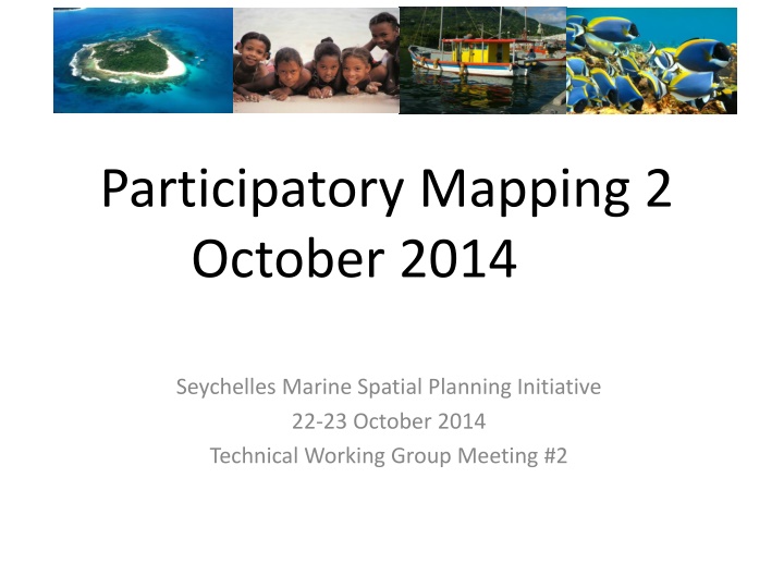
Participatory Mapping 2 October 2014 Seychelles Marine Spatial Planning Initiative 22-23 October 2014 Technical Working Group Meeting #2
Getting started with GeoPDF Review data layers available by zone type Review mapping from August 2014 Gather revised planning tools: Compatibility matrix Master List Table of 5 Zone types Organise input into Inner Islands and 5 Outer Islands groups 2
Participatory Mapping SOCIO-ECONOMIC Where are the best areas for current uses? Where are possible best areas for future uses? What are compatible uses that currently occur in this area? What are conflicting uses? Where are the must have areas? Climate change: sea level rise, coastal inundation? Seasonal influences? 3