Simulation Framework for Environmental Observations and Analysis
Explore the OSSE.CGOP framework by Ruifang Li and Bachir Annane, focusing on location interpolation, nature run simulations, and data assimilation using NASA models and satellite observations. Learn about creating simulated observations for different instruments and data types, including radiance profiles, conventional data, and GPSRO profiles.
Download Presentation

Please find below an Image/Link to download the presentation.
The content on the website is provided AS IS for your information and personal use only. It may not be sold, licensed, or shared on other websites without obtaining consent from the author. If you encounter any issues during the download, it is possible that the publisher has removed the file from their server.
You are allowed to download the files provided on this website for personal or commercial use, subject to the condition that they are used lawfully. All files are the property of their respective owners.
The content on the website is provided AS IS for your information and personal use only. It may not be sold, licensed, or shared on other websites without obtaining consent from the author.
E N D
Presentation Transcript
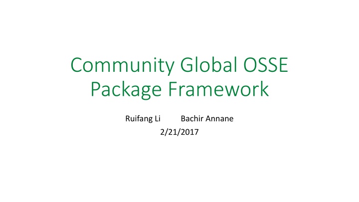
Community Global OSSE Package Framework Ruifang Li Bachir Annane 2/21/2017
OSSE CGOP Framework Community Global OSSE Package(CGOP): (Boukabara et. al, 2016) Location Interpolation Nature Run CRTM GPSRO Model NASA 7km GEOS-5 as the nature run (Gelaro et al, 2015) Simulated Radiances GPSRO profiles Conventional Data CRTM/GPSRO model to simulate satellite radiance and GPSRO observations (Han et. Al 2006, Cucurull,2013) Calibration Simulated Observations GDAS/GFS First Guess NCEP GDAS/GFS as the data assimilation system and forecast model Forecast Analysis Assessment 3
Creating simulated observations - Radiances Run_osse_sat Inputs: CRTM coefficients for each instrument Diag files for each instrument (containing the location of the real observations) or BUFR files from real observations Nature run files Interpolates NR to the location of the observations Simulate with CRTM Write out in a BUFR file for each instrument List of data; F16,F17,F18 (SSMI/S), N15(AMSU),N18/19(AMSU/MHS), SNPP(ATMS,CriS), Metop- A(AMSU,MHS,IASI,HIRS), Metop- B(AMSU,MHS,IASI), AQUA(AIRS,AMSUA),GOES 15(SNDRS),M10(SEVIRI) Location Interpolation Nature Run CRTM Simulated Observations
Creating simulated observations - Conventional data Run_osse_gpsconv (conv=yes) Inputs: Prepqc BUFR from real observations Nature run files Interpolates NR to the location of the observations Write out in a new prepqc BUFR file Location Interpolation Nature Run Conventional Data Simulated Observations
Creating simulated observations - GPSRO profiles Run_osse_gpsconv (gpsro=yes) Inputs: BUFR file from real GPSRO observations Nature run files Interpolates G5NR to the location of observations Use GSI bending angle forward operator to simulate the observation Write out in a new RO BUFR file Location Interpolation Nature Run GPSRO profile Simulated Observations

