Soil Rehabilitation Project Sustainability: Hydrological and Sediment Assessment in Afar
This project aims to assess the sustainability of water spreading weirs (WSW) in Afar through hydrological, sediment monitoring, and technical performance evaluation. Critical questions regarding flood impact, sediment transportation, WSW efficiency, and potential improvements will be addressed.

Download Presentation

Please find below an Image/Link to download the presentation.
The content on the website is provided AS IS for your information and personal use only. It may not be sold, licensed, or shared on other websites without obtaining consent from the author.If you encounter any issues during the download, it is possible that the publisher has removed the file from their server.
You are allowed to download the files provided on this website for personal or commercial use, subject to the condition that they are used lawfully. All files are the property of their respective owners.
The content on the website is provided AS IS for your information and personal use only. It may not be sold, licensed, or shared on other websites without obtaining consent from the author.
E N D
Presentation Transcript
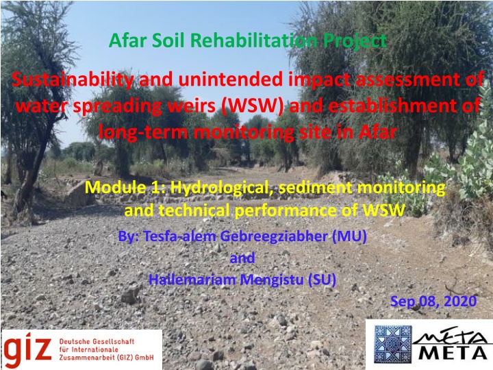
Afar Soil Rehabilitation Project Sustainability and unintended impact assessment of water spreading weirs (WSW) and establishment of long-term monitoring site in Afar Module 1: Hydrological, sediment monitoring and technical performance of WSW By: Tesfa-alem Gebreegziabher (MU) and Hailemariam Mengistu (SU) Sep 08, 2020
Presentation Outline Brief objectives and deliverables List of critical questions Approach/Methodology Data collection checklist Supervision and quality control
Brief Objectives and Deliverables Overall objective - improve the implementation and performance of the WSW by assessing sustainability parameters for long-term operation. Specific objectives: o Measuring and understanding the hydrology of the floods including discharge, flood hydrograph, peak flood, and groundwater recharge; o Assessing the potential and risks associated to sediment transportation and deposition; and o Evaluating the technical performance of the WSW such as irrigated area covered and spacing between them.
Brief Objectives and Deliverables Deliverables : o Inception report and presentation of methodology and site selection after fact finding mission; o Synthesis report which contains o Description of the flood hydrograph (flow pattern, peak discharge, how fast it peaks and recedes); o Sediment concentration, o Estimation of the bed load as well as the proportion of fine and coarse sediments, o Potentials and risks associated to sediment, o Potential unintended impacts o Technical performance evaluation of the WSW and o Recommendations for their mitigation.
List of Critical Questions How are the WSW affecting the hydrology of the floods including discharge, peak flood, flood hydrograph and recharge? How are the WSW affecting the process of sediment transport and deposition? Are the WSW located at appropriate site and spacing? What is the technical performance of the WSW in terms of water spreading efficiency, vulnerability to flood and sediment hazards, irrigated area covered, water availability, yield, etc? How can the effectiveness and performance of the WSW be improved?
Approach/Methodology Measuring event runoff depths at selected location of WSW using diver data loggers; o Local partners will collect the necessary event and historical flood related data; Conducting cross sectional and longitudinal profile using total station for the development of rating curve; o drone data of the WSW and topographic surveying data before the construction of the weirs will be collected from GIZ; Rainfall data from nearby stations and the flood data will be used to model the catchment using distributed, coupled surface and groundwater model (WetSpass) to enable understand the hydrology (runoff and groundwater recharge) of the area; o Modeling will be done in Golina area/ Tabiadora (one spreading weir) by integrating it with module 2. o Input parameters such as climate (temp, Eto and wind speed), DEM (topography and slope), soil texture, LULC and groundwater depth will be collected remotely/by the army filed solders for ground truthing;
Approach/Methodology Analysis on the availability of water and yield using WAPOR database (actual evapotranspiration and interception (AETI) and above ground biomass production) and remote sensing techniques; o used as an input for the WetSpass evapotranspiration and linked with hydrological modeling for water balance analysis; Measuring the sediment load of the flood at Workiede using Automatic sediment sampler or determine the bed load using empirical methods; Measuring the sediment concentration of the floods using Portable turbidity meter; Collecting soil samples from the deposited sediment at the WSW location and undertaking sieve analysis to estimate fine and coarse sediment loads in MU/SU soil laboratory;
Approach/Methodology Detailed on-site technical characterization, investigation and evaluation of each WSW (site selection, design, construction, geology/stability, scouring, and positive and negative effects on the entire successive WSWs in a cascade; o local partners will collect technical performance related data such as water spreading efficiency, vulnerability to flood and sediment hazards, irrigated area covered, perception of agro-pastoralists, etc o Defining an approach where a guideline will be developed on how to design and construct WSW.
Data Collection Checklist The checklist will enable to collect detailed data such as: o Salient features of the water spreading weir (WSW); o Meteorological data; o River cross sections and longitudinal profiles; o Flood data collection; o Flood historical data (Depth, frequency, duration and time to peak of floods); o Groundwater table data; o Sediment data; o Technical performance evaluation; o Validation of satellite data; and o Photo and video documentation
Supervision and Quality Control State of the art sensors (divers, Automatic sediment sampler and Portable turbidity meter) and instruments (meteorological stations) will enable to collect reliable data; Quality control and supervision works will be done by jointly MU and SU; The data collection checklist enables to indirectly crosscheck the data that will be collected. Example: o River cross sections and longitudinal profiles to be collected vs already collected; o Depth of flood vs discharge o Flood data collection vs meteorological data collection; o Photo and video documentation will also be used to cross check some of the collected data