South America's Geography through Highland Regions and River Systems
Discover the unique geography of South America by exploring its three highland regions and three river systems. Learn how to create a mental map of the continent to better understand its diverse environments and historical significance.

Download Presentation

Please find below an Image/Link to download the presentation.
The content on the website is provided AS IS for your information and personal use only. It may not be sold, licensed, or shared on other websites without obtaining consent from the author. If you encounter any issues during the download, it is possible that the publisher has removed the file from their server.
You are allowed to download the files provided on this website for personal or commercial use, subject to the condition that they are used lawfully. All files are the property of their respective owners.
The content on the website is provided AS IS for your information and personal use only. It may not be sold, licensed, or shared on other websites without obtaining consent from the author.
E N D
Presentation Transcript
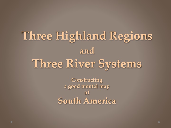
Three Highland Regions and Three River Systems Constructing a good mental map of South America
Definition: a region is a group of places that are like each other and close to each other If you draw a line around the places, the result is a regional map. Why do we make regional maps? Because it is usually easier to remember the general shape of a region, rather than the locations of many individual places. Let s look at how to make a simple regional map to help us remember the environments in South America.
The continent of South America looks a little bit like an ice-cream cone. In this unit, we will see how to draw three lines that can separate South America into seven major regions.
The most important line runs roughly parallel to the West Coast. It reaches a little farther inland near the big bend in the West Coast. It gets closer to the West Coast in the southern part of the continent.
This line divides South America into two main regions: 1. the Andes Mountains, a region of young rocks, earthquakes, volcanoes, and rugged mountains, 2. a much larger area of worn-down hills (made of ancient rocks) and low, flat plains (made by river floods).
The Inka Empire ruled over most of the mountain region in the early 1500s.
The mountain region also has nearly all of the metal mines that are the source of a lot of wealth in South America.
The large eastern part has two separate areas of low, worn-down hills made of really old rocks.
The larger area (the Brazil Highlands) looks like roughly half of a big, egg-shaped mass of ancient rock . . . because, in fact, it is! The other half is in Africa, when the supercontinent called Pangaea split apart and the separate pieces moved to opposite sides of the Atlantic Ocean.
The hills start very close to the coast in the area around Rio de Janeiro.
To the north, there is a small coastal plain between the hills and the Atlantic shore. The hills start very close to the coast in the area around Rio de Janeiro.
The other highland area is easier to draw if you know the location of the Equator.
The Equator crosses into South America at the deep notch where the Amazon River flows into the Atlantic. That s just luck but it makes it easy to remember the location of the equator on maps where the mapmaker forgot to draw it in AND it makes it easier to remember the location of the largest river on the planet.
The northern border of the Guiana Highlands runs roughly parallel to the ocean shore. The southern border of the Guiana Highlands runs fairly close to the equator.
Guiana Highlands That s it three lines, and three highland regions. Do you remember their names? Andes Mountains Brazil Highlands
The Orinoco watershed is small but it gets a lot of rain, so the river is also quite large. Three large river systems carry water away from these high areas. The Amazon River is by far the largest river in the world. This large river has three names Paraguay, Parana, and Rio de la Plata.
Finally, this empty area is called Patagonia. It is a windy grassland with dry summers and cold winters.
Can you remember the locations and names of three highlands, three river basins, and a grassland?
Guiana Highlands Andes Mountains Brazil Highlands
Orinoco River Guiana Highlands Amazon River Andes Mountains Brazil Highlands Rio de la Plata
Orinoco River Guiana Highlands Amazon River Andes Mountains Brazil Highlands Rio de la Plata Patagonia
If you can remember the general position of these three lines (plus the Equator) you can divide South America into seven major regions.
Orinoco River Guiana Highlands Amazon River Andes Mountains Brazil Highlands Rio de la Plata Patagonia
Here are four historic facts
The Inka Empire ruled over most of the mountain region in the early 1500s.
Most European colonial powers wanted a safe European languages, a lasting effect of the colonial era. landing area on the north coast. The stars represent the capital cities of four small countries on the north side of the Guiana Highlands. People there speak four different European languages, a lasting effect of the colonial era.
Three countries put their capitals next to this river. It s called Paraguay (in Paraguay), Parana (in Argentina) and Rio de la Plata (between Argentina and Uruguay)
Finally, Brazil built its new capital Brasilia in the middle of the Brazil Highlands (higher above sea level than 99% of the country!)