Spatial Data and Mapping Logistics for Seychelles Marine Spatial Planning Initiative
This content outlines the contributions of spatial data and mapping logistics to the Marine Spatial Planning Initiative for the Government of Seychelles. It discusses mapping questions, tools for compatibility assessment, and a draft zoning scheme with suggested zones. The focus is on identifying problem areas, conflicts, high-priority zones, and future potential uses, emphasizing the importance of clear mapping and effective coordination.

Uploaded on | 0 Views
Download Presentation

Please find below an Image/Link to download the presentation.
The content on the website is provided AS IS for your information and personal use only. It may not be sold, licensed, or shared on other websites without obtaining consent from the author. If you encounter any issues during the download, it is possible that the publisher has removed the file from their server.
You are allowed to download the files provided on this website for personal or commercial use, subject to the condition that they are used lawfully. All files are the property of their respective owners.
The content on the website is provided AS IS for your information and personal use only. It may not be sold, licensed, or shared on other websites without obtaining consent from the author.
E N D
Presentation Transcript
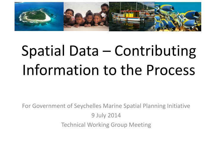
Spatial Data Contributing Information to the Process For Government of Seychelles Marine Spatial Planning Initiative 9 July 2014 Technical Working Group Meeting
Mapping questions What are the problem areas for your use? Where do you have or foresee conflicts with existing or future uses? What are the high priority areas for you? What areas do/will you NOT use? What are some potential future uses that we need to capture? 2
Logistics of Mapping Mark maps legibly One colour per user group or activity Use a standardised scheme to identify your input Label areas with initials and a number (IC1, IC2) Contribute now or after meeting Mapping will be on-going; urgent need now to August 3
Tool: Compatibility Matrix What activities are compatible in space and time? What is their relative compatibility low, medium, high? 4
DRAFT Zoning Scheme for Seychelles (with suggested names) Zone A Blue Economy Zone, Sustainable Use Zone Zone B Marine Protected Area Zone, Biodiversity Zone Zone C Infrastructure Zone Zone D Ecosystem Services Zone Zone E General Use Zone, Industrial Zone 6