Spatial Thinking and Its Development in Education
Spatial thinking is a crucial skill for students to develop as it involves visualizing, interpreting, and reasoning about the world using concepts like location, distance, direction, relationships, and movement. This article explores the importance of spatial thinking, its relevance to success in math and science, and how it can be nurtured through quality instructional resources and activities. It also discusses the stages of spatial development in children, from identity and location to understanding magnitude, distance, and direction.

Download Presentation

Please find below an Image/Link to download the presentation.
The content on the website is provided AS IS for your information and personal use only. It may not be sold, licensed, or shared on other websites without obtaining consent from the author. If you encounter any issues during the download, it is possible that the publisher has removed the file from their server.
You are allowed to download the files provided on this website for personal or commercial use, subject to the condition that they are used lawfully. All files are the property of their respective owners.
The content on the website is provided AS IS for your information and personal use only. It may not be sold, licensed, or shared on other websites without obtaining consent from the author.
E N D
Presentation Transcript
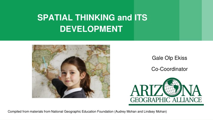
SPATIAL THINKING and ITS DEVELOPMENT Gale Olp Ekiss Co-Coordinator Compiled from materials from National Geographic Education Foundation (Audrey Mohan and Lindsey Mohan)
What is Spatial Thinking? Spatial Thinking is one of the most important ways of thinking for a student to develop. It is a unique way of thinking about the world. Spatial thinking uses location, distance, direction, relationships, and movement to visualize, interpret, and reason about our world. It is a cultural universal to want to organize space.
What is Spatial Thinking? When I say 3.5 billion people, what do you picture?
What is Spatial Thinking? There are more people living inside this circle than outside of it.
Spatial Thinking When I say What feeds the Mississippi River, what do you picture?
What is Spatial Thinking? Rivers that feed into the Mississippi River
Why Teach Spatial Thinking? Spatial thinking is an advantage in our increasingly global and technological society. Spatial thinking is positively correlated with success in math and science. Spatial thinking can be learned (enhanced) by quality instructional resources and activities.
Identity and Location Ages 3-6: Can locate and identify familiar things (home, school). Ages 7-9: Can locate and identify with more accuracy familiar things and some unfamiliar things (countries, landmarks). Ages 10-older: Should be able to read a map and locate and identify familiar and unfamiliar things.
Magnitude Ages 3-6: Can understand some scale words like big and small. Ages 7-9: Just learning hierarchies (city, state, nation, world) and numbers (thousands, millions). Ages 10-older: Should be able to correctly identify scale as local, national, global.
Distance and Direction Ages 3-6: Are learning relative location words (near, far, right, left). Ages 7-9: Are learning to measure but make frequent errors. Understand directions on a map (N,E,S,W) but very little idea of how to realistically apply this knowledge. Have very little concept of distance. Ages 10-older: Measuring more proficiently. Should be able to mentally locate places by direction and distance.
Symbols Ages 3-6: Know that the icon stands for something but may not be able to correctly identify what it represents. Ages 7-9: Are transitioning from real-life icons to abstract symbols. Ages 10-older: Use abstract symbols.
Reference Frames Ages 3-6: Learning numbers and alphabet. Ages 7-9: Can use alpha-numeric grids (B-3,J-4) to find places. Learning to use latitude and longitude. Ages 10-older: Proficient in using alpha-numeric grids. Forget how to use latitude and longitude and need reminders.
Overlays of Information Ages 10-older: Can understand how data can be layered to show more information on a map. Should become interested in the technology that allows them to get the data and then to display it.