St. Kitts and Nevis Hydrographic Achievements and Maritime Spatial Data Infrastructure
St. Kitts and Nevis, as a contracting party to the SOLAS Convention, is committed to providing timely hydrographic information for mariners. Key achievements include the establishment of a National Hydrographic Coordinator, conducted surveys by the United States Navy, and the development of a Coastal Master and Marine Spatial Plan. The nation is progressing towards a Blue Economy and enhancing maritime boundary delineation in the Eastern Caribbean.

Download Presentation

Please find below an Image/Link to download the presentation.
The content on the website is provided AS IS for your information and personal use only. It may not be sold, licensed, or shared on other websites without obtaining consent from the author. If you encounter any issues during the download, it is possible that the publisher has removed the file from their server.
You are allowed to download the files provided on this website for personal or commercial use, subject to the condition that they are used lawfully. All files are the property of their respective owners.
The content on the website is provided AS IS for your information and personal use only. It may not be sold, licensed, or shared on other websites without obtaining consent from the author.
E N D
Presentation Transcript
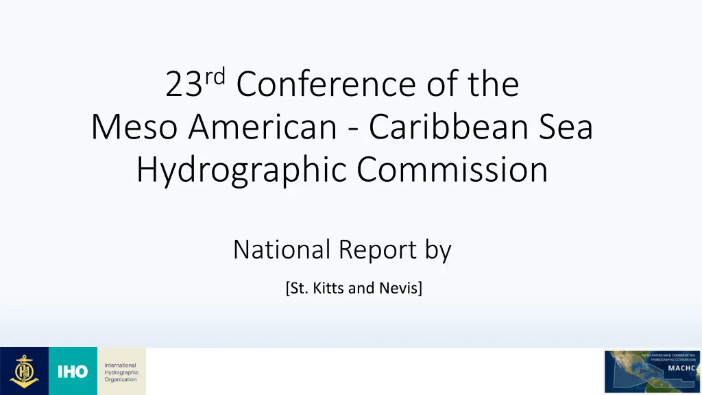
23rdConference of the Meso American - Caribbean Sea Hydrographic Commission National Report by [St. Kitts and Nevis]
Port Port Zante Zante Cruise Terminal Cruise Terminal 3
INTRODUCTION As a contracting party to the SOLAS Convention, St. Kitts and Nevis, is determined to fulfil its obligations of providing timely and adequate hydrographic information to guide mariners. St. Kitts and Nevis is an Associate Member of MACHC. The office responsible for hydrography in St. Kitts - Nevis Department of Maritime Affairs (DMA), in the Ministry of Tourism and International Transport et al. 4
Top Top Hydrographic Hydrographic Achievements Achievements Maritime Spatial Data Infrastructure (MSDI): St. Kitts and Nevis has a National Hydrographic Coordinator (NHC) and Hydrographic Committee responsible for collection and dissemination of hydrographic data for the safety of navigation. The NHC is supported by GIS staff from the office of the Physical Planning Department that manages the Maritime Spatial Data Infrastructure (MSDI) and is responsible for the technical aspects of hydrography and data records. The National Hydrographic Coordinator liaise with local agencies to ensure timely supply of plans and coordinates of new developments for disseminating to the primary charting authority, UKHO. Hydrographic Suvey: The United States Navy conducted extensive Multibeam Echo Sounder surveys in the main Ports of Basseterre St. Kitts, and Charlestown and Long Point Port Nevis in November 2016. The primary objective of this hydrographic survey operation was to collect environmental and navigational data in the ports to support safety of navigation via nautical charts and Sailing Directions updates. The data was received in mid 2019 and forwarded to the the primary charting authority for St. Kitts and Nevis, the United Kingdom Hydrographic Office (UKHO), to facilitate the development of new editions of large scale paper charts 487 & 489 and corresponding GB ENC s, to include the Marine Management Areas for St. Kitts and Nevis. Additionally, in the last quarter of 2021, data applicable to newly installed Aids to Navigation (AToNs) within the Coastal Waters of St. Kitts and Nevis were forwarded to the (UKHO) to further update the Federation s Charts. 5
Achievements Contd Achievements Cont d Established Coastal Master and Marine Spatial Plan: As St. Kitts and Nevis lay the foundation for the development of the blue economy, the Department of Maritime Affairs is please to advised that in the first quarter of 2022, the federation received its final Coastal Master and Marine Spatial Plan through technical assistance from the OECS Commission Ocean Governance Unit and the World Bank. The integrated Coastal and Marine Spatial Plan offers a fifteen-year time frame to support the transition towards a Blue Economy through the sustainable and equitable use of coastal and marine space, protecting coastal and marine ecosystems, and managing land- water interactions. Maritime Boundary: Majority of the maritime boundaries within the Easter Caribbean have not been delimited. However, St. Kitts and Nevis has resumed the process to finalize the boundaries between the federation and Sint Eustatius. Bilateral relations: St. Kitts and Nevis has been in communication with the United Kingdom Hydrographic Office (UKHO) to strengthen bilateral relations aimed at building capacity with regards to chart production, hydrography and maritime safety. At present, the UKHO has proposed a draft agreement which is under review. Local Dredging: St Christopher Air and Seaports Authority, Nevis Air and Seaports Authority are dredged yearly by private contractors. In fact, as of August 2022, dredging operation has been ongoing by Blue Ocean Dredging, aimed at deepening the bathymetry in the vicinity of the primary international ports. 6
Challenges Challenges and/or Obstructions and/or Obstructions (Such as capacity building gaps) (Such as capacity building gaps) Lack of equipment to undertake hydrographic surveys at the National level. With respect to survey data processing, major shipping lanes and Navy's are categorized as high priority from a business perspective. This has an adverse effect on the timely transmission of hydrographic data to update charts and publications for Small Island Developing States, as they are perceived as low priority. The federation does not have a dedicated hydrographic office whose sole responsibility is hydrography. Officers who are engaged in hydrographic activities have other responsibilities that fall within the scope of the Maritime Administration. Maritime Safety Information (MSI) Local vessels below 24 metres operating in territorial waters are not equipped with Small Vessel Monitoring System and as a result presents a challenge during Search and Rescue (SAR). Lack of resources (financial and technical support) to fully implement the MMA s management plans. 7
Plans that affect the region (Charts, surveys, training, other) Charts: The development of charts for the federation has been delegated to the UKHO, the primary charting authority for the federation, due to lack of charting resources at the National level. Surveys: The two Island federation does not possess the capability to extensively survey its waters on a regular basis, therefore rely on private survey companies to perform such functions on behalf of the State. In addition, most areas of the Eastern Caribbean do not have accurate nor adequate nautical chart coverage beyond 12 nautical miles. To fill the gap between St. Kitts and Nevis and support the development of a regional hydrographic service. 8
Training Training Requested: Request in person training with regards to basic hydrographic and Maritime Safety Information. Request Aids to Navigation (AToNs) Manager Training. Any assistance that can be rendered by developing states or organizations to improve hydrography within the federation of St. Kitts and Nevis would be greatly appreciated. Training Received: Officers from the Department of Maritime Affairs and Physical Planning participated in the Caribbean Geospatial End User Lidar Training, convened in 2021. The training was jointly sponsored by Caribbean Community Climate Change Centre and the Caribbean Development Bank. 9
Conclusion Conclusion Conscious of the constraints and challenges, St. Kitts and Nevis remain committed to fulfilling its obligation under SOLAS Chapter V, recognizing that modern and reliable data is fundamental to the development of hydrographic capability within the federation. 10