Strategies for Successful GEO-CAPE Implementation Towards DS2017 Goals
Discover insights from the GEO-CAPE workshop, including key accomplishments, capabilities developed, identified gaps, ongoing needs, and forward-looking recommendations to enhance the Program of Record's alignment with DS2017 air quality objectives. Recommendations focus on sustaining collaborations, establishing priorities, and leveraging opportunities for integrated observing systems.

Uploaded on | 0 Views
Download Presentation

Please find below an Image/Link to download the presentation.
The content on the website is provided AS IS for your information and personal use only. It may not be sold, licensed, or shared on other websites without obtaining consent from the author. If you encounter any issues during the download, it is possible that the publisher has removed the file from their server.
You are allowed to download the files provided on this website for personal or commercial use, subject to the condition that they are used lawfully. All files are the property of their respective owners.
The content on the website is provided AS IS for your information and personal use only. It may not be sold, licensed, or shared on other websites without obtaining consent from the author.
E N D
Presentation Transcript
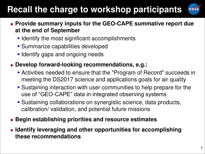
Recall the charge to workshop participants Provide summary inputs for the GEO-CAPE summative report due at the end of September Identify the most significant accomplishments Summarize capabilities developed Identify gaps and ongoing needs Develop forward-looking recommendations, e.g.: Activities needed to ensure that the "Program of Record" succeeds in meeting the DS2017 science and applications goals for air quality Sustaining interaction with user communities to help prepare for the use of GEO-CAPE data in integrated observing systems Sustaining collaborations on synergistic science, data products, calibration/ validation, and potential future missions Begin establishing priorities and resource estimates Identify leveraging and other opportunities for accomplishing these recommendations 1
Discussion Starter (1/4) The pieces of the integrated observing strategy for AQ are coming into place, but there is no systematic activity to provide constellation data to users. New paradigm: produce Systematic Mission level of science and applications from a diverse constellation of observations that includes systematic/operational and pathfinder missions, NASA and non- NASA. Many space agencies now endorse this concept (c.f. CEOS AC-VC meeting this week) Linkage to 2017 DS: most important science, don t need new dedicated AQ trace gas mission in next 10 years*, need to deliver on the Program of Record. POR incudes all satellite missions, not just NASA. Challenging problem in general, but we can prototype it for our discipline area: AQ. *AQ aerosol is included as part of 1 of 5 Designated missions (active remote sensing) and vertical profiles of trace gases are included in the Explorer class, but NASA HQ will determine pre-formulation activities, if any, for those.
Discussion Starter (2/4) NASA is beginning a core workforce model: utilize core NASA Center capabilities collaboratively Possible opportunity to propose a modest multi-center work package that includes some funding for partners Leverage GEO-CAPE pre-formulation investments; teaming, engagement of partners, creation of tools. Value-added to the individual ESD programs (R&A, Applications, Flight), continuing to build bridges between them. Initial thought: ongoing coordination activity with a few specific deliverables. Consider deep dives, end-to-end demonstrations aimed at already- engaged end users (c.f. AQAST/HAQAST, TEMPO early adopter activities)
Discussion Starter (3/4) Potential activities: Data Center scoping studies Options and resource estimates for providing a consistent AQ products user experience regardless of which satellite the data come from. Use existing interoperability standards rather than mirror or reprocess? Consider different categories of customers, e.g. forecast (NRT) vs analysis Product scoping studies: candidate user-friendly blended products from multi-constituent and multi-satellite GEO and LEO observations, addressing needs identified in applications workshops Fire smoke forecasting: trace gases and aerosol with satellite CO and FRP. Multi-constituent exceptional event attribution in a scenario when potential contributions include wildfires, strat influence, transboundary influence. In permitting process for prescribed burns, blend TROPOMI/TEMPO trace gas measurements with CO from the LEO sensors, ABI products, etc. Emissions inventory update in a city: NO2 flux inversion AM vs PM Fused aerosol products e.g. from ABI+TEMPO, AMI/AHI+GEMS. (Is this a demo, or designing a processing architecture?) Measurements gap analysis, including adequacy of planned CO missions and lack of Southern Hemisphere observations
Discussion Starter (4/4) A common need for these demonstrations: realistic synthetic or proxy radiances at native satellite resolutions. How to produce? Scope resource requirements. For larger activities, potentially work with NASA HQ to inform candidate ROSES solicitations.
Discussion Your thoughts here And here too...
From GEO-CAPE Atmospheric Science STM as published in BAMS 2012 Baseline measurements1: O3, NO2, CO, SO2, HCHO, CH4, NH3, CHOCHO, different sampling frequencies, 4 km horizontal spatial footprint size at the center of the domain; and AOD, AAOD, AI, aerosol optical centroid height (AOCH), hourly for SZA<70 and 1 km horizontal spatial footprint size at the center of the domain. Threshold measurements1: CO hourly day and night; O3, NO2 hourly when SZA<70; HCHO three times per day when SZA<50; at 8 km horizontal spatial footprint at the center of the domain; AOD hourly (SZA<50) at 2 km horizontal spatial footprint at the center of the domain. Cloud Camera 1 km x 1km horizontal spatial resolution, two spectral bands, baseline only Improve retrieval accuracy, provide diagnostics for gases and aerosol Atmospheric measurements over Land/Coastal areas: [A to K] Time resolution value 2 Typical Species Precision 2 Description ? 0-2 km: 10 ppbv 2km tropopause: 15 ppbv Stratosphere: 5% Observe O3 with two pieces of information in the troposphere with sensitivity to the lowest 2 km for surface AQ; also transport, climate forcing Hourly, SZA<70 O3 9 x10¹⁸ Track anthropogenic and biomass burning plumes; observe CO with two pieces of information in the vertical with sensitivity to the lowest 2 km in daylight Observe total aerosol; aerosol sources and transport; climate forcing Distinguish background from enhanced/ polluted scenes; atmospheric chemistry 0-2 km: 20ppbv 2km tropopause: 20 ppbv X? Hourly, day and night CO 2 x10¹⁸ Hourly, SZA<70 Hourly, SZA<70 ? AOD 0.1 1 0.05 NO2 6 x10¹⁵ 1 1015 Continued on next slide
From GEO-CAPE Atmospheric Science STM as published in BAMS 2012 Baseline measurements1: O3, NO2, CO, SO2, HCHO, CH4, NH3, CHOCHO, different sampling frequencies, 4 km horizontal spatial footprint size at the center of the domain; and AOD, AAOD, AI, aerosol optical centroid height (AOCH), hourly for SZA<70 and 1 km horizontal spatial footprint size at the center of the domain. Threshold measurements1: CO hourly day and night; O3, NO2 hourly when SZA<70; HCHO three times per day when SZA<50; at 8 km horizontal spatial footprint at the center of the domain; AOD hourly (SZA<50) at 2 km horizontal spatial footprint at the center of the domain. Continued from previous chart Additional atmospheric measurements over Land/Coastal areas, total column: [A to K] Time resolution value 2 Typical Species Precision 2 Description Observe biogenic VOC emissions, expected to peak at midday; chemistry Identify major pollution and volcanic emissions; atmospheric chemistry Observe anthropogenic and natural emissions sources HCHO* 3/day, SZA<50 1.0x10¹⁶ 1 1016 SO2* 3/day, SZA<50 1 1016 1 1016 ? X CH4 2/day 4 x10¹⁹ 20 ppbv 0-2 km: 2ppbv NH3 2/day 2x10¹⁶ Observe agricultural emissions Detect VOC emissions, aerosol formation, atmospheric chemistry Distinguish smoke and dust from non-UV absorbing aerosols; climate forcing Detect aerosols near/above clouds and over snow/ice; aerosol events Determine plume height; large scale transport, conversions from AOD to PM CHOCHO* 2/day 2x10¹⁴ 4 1014 ? ? ? AAOD Hourly, SZA<70 0 0.05 0.02 AI Hourly, SZA<70 -1 +5 0.1 AOCH Hourly, SZA<70 Variable 1 km

")
")
")
")