TEMPO Ozone Validation Activities Plan
Discover the comprehensive plan for O3 correlative data and tools within the TEMPO project, including pre-launch and post-launch activities, milestones, and validation measurements. Learn about ground-based assets, intercomparisons, and datasets implementation to ensure accurate ozone validation.
Download Presentation

Please find below an Image/Link to download the presentation.
The content on the website is provided AS IS for your information and personal use only. It may not be sold, licensed, or shared on other websites without obtaining consent from the author. If you encounter any issues during the download, it is possible that the publisher has removed the file from their server.
You are allowed to download the files provided on this website for personal or commercial use, subject to the condition that they are used lawfully. All files are the property of their respective owners.
The content on the website is provided AS IS for your information and personal use only. It may not be sold, licensed, or shared on other websites without obtaining consent from the author.
E N D
Presentation Transcript
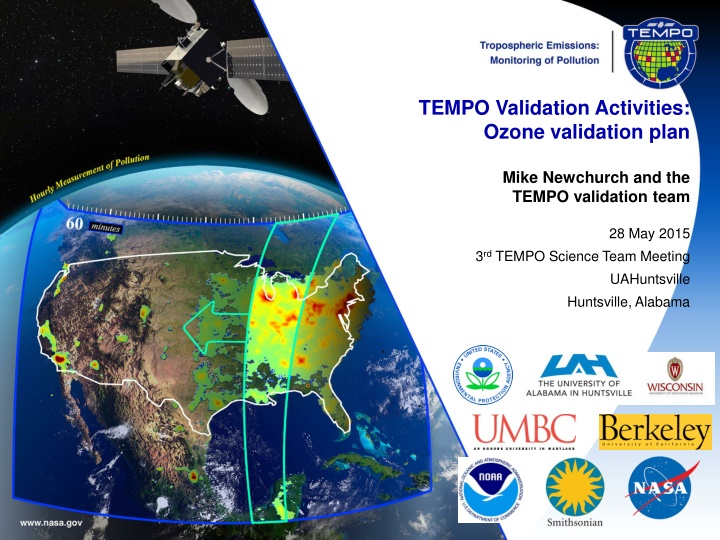
TEMPO Validation Activities: Ozone validation plan Mike Newchurch and the TEMPO validation team 28 May 2015 3rd TEMPO Science Team Meeting UAHuntsville Huntsville, Alabama
O3 Correlative data and Tools Correlative data Ground-based (sfc, Pandora, lidar) and ozonesonde points, profiles, and columns. Aircraft and space-borne (best effort) Measured vs. modeled radiances (best effort) Measured and modeled geophysical products (best effort) Climatologies (best effort) Spatial and temporal gradients (best effort) Spatio-temporal distributions, captured gradients /patterns , scale effects (high (pixel level) and low (urban/regional) resolution pattern comparisons. Best effort.) Tools Column and profile bias and variances Averaging kernels and vertical sensitivity, correlations Error covariances Scale effects Information content Eigenanalyses/Principal Component Analyses DFS 3/21/2025 Document Title 2
Pre-launch and Post-launch Activities Pre-launch activities: Prepare data ingest Surface Networks Profiling/column Networks Aircraft (best effort) Satellite instruments (best effort) Campaigns (best effort) Post-launch activities: Perform intercomparisons Surface networks (some best effort) CAPABLE/LaRC PAMS/State&Local SPARTAN (US & Canada) IMPROVE NCore/EPA AirNow/EPA Mexico Profiling/column Networks (distinguish which are TEMPO-funded and part of PLRA Level 1 requirements) TOLNet (best effort) NDACC (best effort) PANDORA (subset of US) Ozonesonde (subset of US) Dobson/Brewer (US & Canada, best effort) NAPS/Canada (best effort) Mexico (best effort) Aircraft (coordinate for best effort, e.g., EV suborbital or ACP campaigns) Geo-TASO ACAM/GCAS Satellite instruments (coordinate for best effort, e.g., NRAs) TROPOMI GOME-2 NPP/OMPS 3/21/2025 Document Title 3
Pre-launch and Post-launch Activities Milestones L-24M to L Coordinate ground-based assets operation and access Develop tools for intercomparisons Exercise forward models Create and exercise Level 1 and Level 2 datasets Implement validation tools L+3M to L+15M Perform validation measurements Intensive Campaigns (best effort) L+3M to L+15M: TOLNet, Pandora, O3sondes @ home locations L+3M to L+15M: TOLNet, Pandora, sondes @ UC Berkeley (best effort) L+3M to L+15M: Aircraft (ACAM/GCAS, Geo-TASO) @ CA 3/21/2025 Document Title 4

