The VALMER Scenario Process for Marine Management
Explore the VALMER scenario process led by Dr. Olivia Langmead from the Marine Biological Association. This process involves developing management scenarios, defining various activities, and modeling changes to subtidal sediment habitats to assess their impact on fisheries production. Discover the potential future management measures and activities considered within this scenario framework.

Download Presentation

Please find below an Image/Link to download the presentation.
The content on the website is provided AS IS for your information and personal use only. It may not be sold, licensed, or shared on other websites without obtaining consent from the author. If you encounter any issues during the download, it is possible that the publisher has removed the file from their server.
You are allowed to download the files provided on this website for personal or commercial use, subject to the condition that they are used lawfully. All files are the property of their respective owners.
The content on the website is provided AS IS for your information and personal use only. It may not be sold, licensed, or shared on other websites without obtaining consent from the author.
E N D
Presentation Transcript
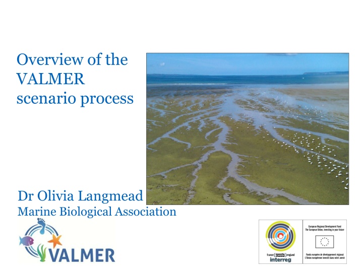
Overview of the VALMER scenario process Dr Olivia Langmead Marine Biological Association
Management Scenarios Develop plausible scenarios of alternative future management scenarios horizon scanning We are interested in human activities that leave a footprint on the subtidal sediment habitats. The overall aim is to compare the difference in the value of the seabed as fish habitat under different scenario conditions
Management Scenarios This may comprise new management measures for existing activities that changes the intensity or location of them (e.g. designation of rMCZs).
Management Scenarios This may comprise new activities such as: Cable laying Renewables installations Port expansion Aggregate dredging Or combinations of both new activities and new management
Scenario definition Each scenario will have: a namee.g. rMCZs all designated a storyline describing what this means in terms of activities in the NDBR e.g. in rMCZs all designated this might mean a suite of measures restricting human activities that are plausible and in line with the listed features for the rMCZs. This may cause other changes, for example displacement of fishing activity. A series of associated pressure maps that show changes in the activities in terms of intensity and location e.g. if it was decided that towed gear was to be excluded from all rMCZs, would this be displaced to somewhere else? Would potting density increase in rMCZs? Or just the coastal ones?
Modelling changes in subtidal sedimentary habitats and their value Pressure maps will be used as input to a network model to work out what effect these changes would have on the value of the seabed habitat in terms of supporting fisheries production Current activities Seabed habitats Current Value( ) Pressures Fish Marginal change in Management scenario #1 Seabed habitats Pressures Fish Value( ) value Management scenario #2 Seabed habitats Pressures Fish Value( ) Stakeholder group Network model