Training on Effective Use of Himawari Data and SATAID for Meteorological Analysis
Enhance your meteorological analysis skills with practical training on utilizing Himawari data and SATAID software. Learn how to interpret satellite information, analyze cloud patterns, and forecast weather phenomena effectively. Get hands-on experience in utilizing advanced tools and techniques for better meteorological services. Join us to deepen your understanding of satellite data and improve your forecasting proficiency.

Download Presentation

Please find below an Image/Link to download the presentation.
The content on the website is provided AS IS for your information and personal use only. It may not be sold, licensed, or shared on other websites without obtaining consent from the author. If you encounter any issues during the download, it is possible that the publisher has removed the file from their server.
You are allowed to download the files provided on this website for personal or commercial use, subject to the condition that they are used lawfully. All files are the property of their respective owners.
The content on the website is provided AS IS for your information and personal use only. It may not be sold, licensed, or shared on other websites without obtaining consent from the author.
E N D
Presentation Transcript
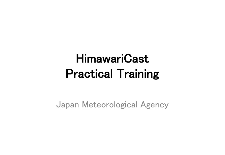
HimawariCast HimawariCast Practical Training Practical Training Japan Meteorological Agency
Goal of this training Effective Use of Himawari data Effective Use of Himawari data How can we use the data? What kind of things can we do using the data? Learn SATAID! Learn SATAID! What can we do using SATAID? Do exercise to deepen the understanding
Contents 1. Preparation 2. Introduction to SATAID 3. Basic Functions of SATAID 4. Exercise using SATAID Cloud Analysis Detect Various Phenomenon
Curriculum (Viet Nam) 08:30 11:30 13:30 15:00 15:00 17:00 Basics of meteorological satellite and satellite analysis Opening Overview of Himawari-8/9 Utilization of SATAID 10thDec. (Thurs.) Practical training on utilization of RGB composite & High resolution Cloud Analysis Information HCAI) & Heavy Rainfall Potential Areas Utilization of newly equipped bands on Himawari-8 including practical training 11thDec. (Fri.) Analysis training 1 Utilization of satellite data for weather forecast and disaster risk reduction Analysis training 2 12thDec. (Sat.) TANAKA OKUYAMA NISHIMURA
Preparation Open the folder 1. Please copy HimawariCast_Training folder in the USB memory to the C Drive 2. Open HimawariCast_Training folder
Preparation Folder structure \HimawariCast_Training \GMSLPD \TANAKA \Manual \OKUYAMA \OTHER \PPT \SATAID_DATA
Preparation Install SATAID program 1. Open Gmslpd folder 2. Double-click Gsetup.exe If OS type of your PC is 64 bit windows, open Gsetup64.exe
Select Exec Select OK Select Yes
Preparation Start SATAID 1. Go back to the HimawariCast Training 2. Open SATAID_DATA folder 3. Open 201508 folder 4. Double-click 20150803.ATC
Introduction What is SATAID? SATAID (SATellite Animation and Interactive Diagnosis) is a sophisticated display software visualizing meteorological information in multiple dimensions (spatial and temporal), which assists forecasters to analyze and monitor continually weather parameters and phenomena for better meteorological services. Customize display Data overlay With NWP data Multiple functions Animation With observation data
How do we get it? WIS Website http://www.wis-jma.go.jp/cms/sataid/ You need Internet Environment You need to get ID and Password (wis-jma at met.kishou.go.jp) 5 channels are available every 10 minutes Himawari-Cast http://www.data.jma.go.jp/mscweb/en/himawari8 9/himawari_cast/himawari_cast.html You need dedicated antenna and computers 14 channels are available every 10 minutes
Data for Exercise 16 Channels Every-10-minute images Spatial resolution: 4km in this training Original Data is 2km for IR and 1km for VS
16 Bands of AHI (Advanced Himawari Imager) 13 True Color Image MTSAT MTSAT Channels Channels Wavelength [ m] Spatial Resolution Band 1 0.46 1Km V1 RGB band Composited 2 0.51 1Km V2 Visible 3 0.64 0.5Km VIS VS Aerosol Water cloud and Ice cloud Size of the cloud droplet Fog , Hot spot(Forest fire) 4 0.86 1Km N1 Near Infrared 5 1.6 2Km N2 6 2.3 2Km N3 IR4 7 3.9 2Km I4 8 6.2 2Km WV IR3(WV) 9 7.0 2Km Water vapor W2 10 7.3 2Km W3 SO2(Sulfur dioxide) 11 8.6 2Km MI Infrared O3(Ozone) 12 9.6 2Km O3 13 10.4 2Km IR IR1 14 11.2 2Km L2 Atmospheric Windows IR2 15 12.3 2Km I2 CO2(Carbon dioxide) 16 13.3 2Km CO
Introduction to SATAID Please look at the Quick-Guide \HimawariCast Training\PPT\1_[QUICK- GUIDE]SATAIDforHimawariCast.pptx


")