Understanding Endangered Species Assessment Procedures
Learn about the procedures and steps involved in assessing risks of pesticides to listed species, as recommended by the National Academy of Sciences. Explore key issues addressed in the NAS report and the three-step process followed by EPA, USFWS, and NOAA. Understand the ESA and ERA processes, with a focus on problem formulation and risk characterization. Gain insights into determining the potential effects on endangered species and their habitats, utilizing geospatial data sets for assessments.

Download Presentation

Please find below an Image/Link to download the presentation.
The content on the website is provided AS IS for your information and personal use only. It may not be sold, licensed, or shared on other websites without obtaining consent from the author. If you encounter any issues during the download, it is possible that the publisher has removed the file from their server.
You are allowed to download the files provided on this website for personal or commercial use, subject to the condition that they are used lawfully. All files are the property of their respective owners.
The content on the website is provided AS IS for your information and personal use only. It may not be sold, licensed, or shared on other websites without obtaining consent from the author.
E N D
Presentation Transcript
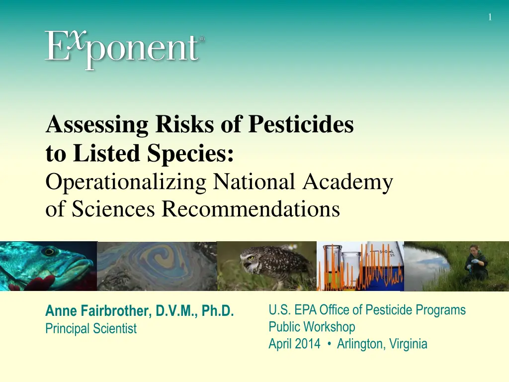
1 1 Assessing Risks of Pesticides to Listed Species: Operationalizing National Academy of Sciences Recommendations U.S. EPA Office of Pesticide Programs Public Workshop April 2014 Arlington, Virginia Anne Fairbrother, D.V.M., Ph.D. Principal Scientist
2 NAS Report April 2013 Addressed key issues to harmonize risk assessments across agencies Use of best available science Sublethal, cumulative, and indirect effects Mixtures and inerts Models Interpretation of uncertainty Geospatial datasets and information
3 Three Step Process EPA, USFWS, NOAA: Interim Approaches for National- Level Endangered Species Assessments Step 1: Determine whether action may affect a listed species or its critical habitat. If yes, action agency has the option of formal or informal consultation. Step 2 (Informal Consultation): Determine whether action is likely to adversely affect a listed species or its critical habitt. If no, and FWS or NMFS agrees, no further consultation. If yes, formal consultation required. Step 3 (Formal Consultation): FWS or NMFS must determine whether proposed action is likely to jeopardize the existence of the listed species and issues a biological opinion.
4 ESA Process ERA Process ESA Process Problem Formulation Step 1 (EPA) May Affect? Exposure Analysis Effects Analysis NO Risk Characterization YES Option 1 YES Option 2 Problem Formulation ERA Process Step 2 (EPA) Informal Consultation Likely to Adversely Affect? Exposure Analysis Effects Analysis NO Risk Characterization Concurrence? FWS or NMFS YES YES Problem Formulation Step 3 (FWS or NMFS) Formal Consultation Jeopardy? Exposure Analysis Effects Analysis NO REGISTRATION OR REREGISTRATION OF PESTICIDE Risk NO Characterization YES EPA DECIDES WHETHER AND UNDER WHAT CONDITIONS TO REGISTER PESTICIDE
5 Step 1 No Effect/May Affect Determination and Action Area: Overlap of the action area with the species ranges and designated critical habitats Species or critical habitats that overlap with the action area during the time of pesticide application Geography and phenology Hazard classification Assessment of potential to cause toxicity in organisms Birds Mammals Fish Invertebrates (terrestrial and aquatic) Plants
6 Interim Approaches for National-Level Endangered Species Assessments Readily available geospatial data sets will be used to establish agricultural and non- agricultural pesticide use areas. The Agencies will develop a proposal to aggregate data over multiple time periods to more fully account for past, present and reasonable future use area changes. Sources of information USDA National Agricultural Statistics Service (NASS) Census of Agriculture data (county level) The National Land Cover Database (NLCD) The Cropland Data Layer (CDL) and/or CDL aggregated by years
7 http://www.nass.usda.gov/Charts_and_Maps/Crops_County/cr-pl.asp
8 http://www.nass.usda.gov/Charts_and_Maps/Crops_County/cr-pl.asp
9 http://www.nass.usda.gov/Charts_and_Maps/Crops_County/cr-pl.asp
11 Interim Approaches for National-Level Endangered Species Assessments For species range and designated critical habitat geospatial information, priority and weight will be given to spatial data provided by the Services. If sub-county spatial data are not available from the Services for particular species and/or designated critical habitats, an interim approach for supplementing listed species locations will be used Sources of information FWS Environmental Conservation Online System (ECOS) Information, Planning, and Conservation System (IPaC) Critical Habitat Portal FIFRA Endangered Species Task Force (FESTF) database NatureServe
12 Number of Federally Listed Species http://ecowatch.com/2013/08/30/proposal-weakens-endangered-species-protections-on-public-lands/
13 Species of Potential Concern (e.g., Spring) Corn Birds Soybean Birds Species 1 Species 2 Mammals Species 1 Species 2 Species 3 Plants Species 1 Cotton Birds Species 2 Species 3 Mammals Species 1 Plants Species 2 Wheat Birds Species 3 Mammals Species 1 Species 2 Plants Species 1 Species 1 Species 2 Species 3 Mammals Species 1 Species 2 Species 3 Plants Species 1 Species 2 Species 3
14 Initial Hazard Assessment Retain or Eliminate Species Classes (direct effects) Species of concern Birds Mammals Plants Fish Invertebrates (soil) Invertebrates (aquatic) Toxicity data from standard toxicity tests Yes / no Mechanism of action Broad spectrum versus targeted species Read across Known data from similar chemicals
15 Initial Hazard Assessment Retain or Eliminate Species Classes (critical habitat attributes) Species of concern Birds Mammals Plants Fish Invertebrates (soil) Invertebrates (aquatic) Critical habitat attributes Cover type Forage Etc. Direct effect of pesticide on habitat attributes Yes / no from previous slide
16 Interim Approach Effects Action Area will be based on the lowest relevant toxicity value for the most sensitive species in the environment that results in the farthest distance from the use site(s) based on the effects thresholds described below. The aquatic portions of the action area will incorporate/characterize downstream transport. Exposure Estimated environmental concentrations (EECs) will be based largely on modeled estimates PRZM-EXAMS AgDRIFT AGDISP Variable Volume Pond Model T-REX TerrPlant
17 Interim Approach Effects Action Area will be based on the lowest relevant toxicity value for the most sensitive species in the environment that results in the farthest distance from the use site(s) based on the effects thresholds described below. The aquatic portions of the action area will incorporate/characterize downstream transport. One in a million = LD0.000001
18 But Most Importantly Why spend so much time at Step 1? Focus should be on problem formulation Then go to Step 2 and do a quantitative risk analysis of exposure and effects for each species of potential concern Include distributions, etc. for appropriate uncertainty analysis http://en.wikipedia.org/wiki/...
19 Conclusion Interim Approach document is a significant step forward Further discussion is needed for how to operationalize the approach, particularly for Step 1 Consideration given to need for high through-put at Step 1 Quantitative analyses are preferred for Steps 2 and 3 Include quantitative assessment of uncertainties to achieve desired statements of probabilities Approach for Step 3 has not yet been identified May constrain the discussion for Step 2 if there is no vision for how the output will inform the next step