Understanding Remote Sensing and GIS Applications with Ruba Yousif Hussain
Explore the fundamentals of remote sensing and GIS applications as explained by lecturer Ruba Yousif Hussain, focusing on vector and raster models, shapefiles, and data models used in GIS. Learn about the differences between vector and raster files, the components of a shapefile, and the significance of spatial data representation in GIS.

Download Presentation

Please find below an Image/Link to download the presentation.
The content on the website is provided AS IS for your information and personal use only. It may not be sold, licensed, or shared on other websites without obtaining consent from the author. If you encounter any issues during the download, it is possible that the publisher has removed the file from their server.
You are allowed to download the files provided on this website for personal or commercial use, subject to the condition that they are used lawfully. All files are the property of their respective owners.
The content on the website is provided AS IS for your information and personal use only. It may not be sold, licensed, or shared on other websites without obtaining consent from the author.
E N D
Presentation Transcript
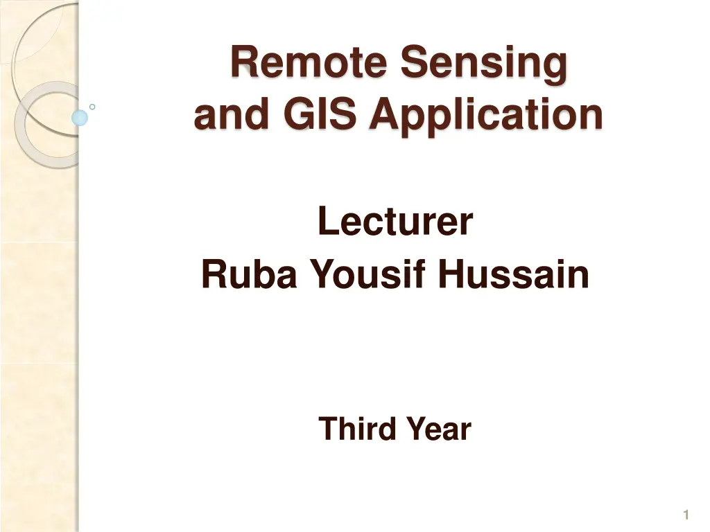
Remote Sensing and GIS Application Lecturer Ruba Yousif Hussain Third Year 1
Remote Sensing and GIS Application Lecturer Third Year Ruba Yousif Hussain Raster GIS and Vector GIS The two basic types are vector and raster files. 1. Vector files Spatial data which is given by rectangular coordinates represent by vector model. Vector files represent discrete data and are displayed as points , lines or polygons. Points represent a specific coordinate ( latitude and longitude ) . Lines have length but no width , and represent things such as roads. Polygons are anything with area ( building , municipal boundaries , or water bodies ) 2. Raster files Raster files represent data as it appears across the surface of the earth. Raster data can also be aerial photos or satellite images. Raster data is displayed in ArcMap as grids. Each grid file is made up of many columns and rows of pixels. Pixels area normally square and their size is dependent upon the source of the data. 2
Remote Sensing and GIS Application Lecturer Third Year Ruba Yousif Hussain (a) Vector model 3
Remote Sensing and GIS Application Lecturer Third Year Ruba Yousif Hussain (b) Raster model Figure 1 : Data models used in GIS 4
Remote Sensing and GIS Application Lecturer Third Year Ruba Yousif Hussain Shapefile A shapefile is a simple, nontopological format for storing the geometric location and attribute information of geographic features. Geographic features in a shapefile can be represented by points, lines, or polygons (areas). The shapefile format defines the geometry and attributes of geographically referenced features in three or more files with specific file extensions that should be stored in the same project workspace. They are: .shp The main file that stores the feature geometry; required. .shx The index file that stores the index of the feature geometry; required. .dbf The dBASE table that stores the attribute information of features; required. .sbn and .sbx The files that store the spatial index of the features. .fbn and .fbx The files that store the spatial index of the features for shapefiles that are read- only. .ain and .aih The files that store the attribute index of the active fields in a table or a theme's attribute table. .atx An .atx file is created for each shapefile or dBASE attribute index created in ArcCatalog. ArcView GIS 3.x attribute indexes for shapefiles and dBASE files are not used by ArcGIS. A new attribute indexing model has been developed for shapefiles and dBASE files. .ixs Geocoding index for read/write shapefiles. .mxs Geocoding index for read/write shapefiles (ODB format). .prj The file that stores the coordinate system information; used by ArcGIS. .xml Metadata for ArcGIS stores information about the shapefile. .cpg An optional file that can be used to specify the codepage for identifying the characterset to be used. 5
Remote Sensing and GIS Application Lecturer Third Year Ruba Yousif Hussain When viewing shapefiles in ArcCatalog (or any ArcGIS application), you will only see one file representing the shapefile; however, you can use Windows Explorer to view all the files associated with a shapefile. When copying shapefiles, it is recommended that you do so in ArcCatalog or by using a geoprocessing tool. However, if you do copy a shapefile outside ArcGIS, be sure to copy all the files that make up the shapefile. Geodatabase In contrast to file-based formats like coverages and shapefiles, which store feature coordinate and attribute information in separate files, the geodatabase has the ability to store the two types of information in one database. This centralization of storage offers many advantages. Each geodatabase feature class can only store a single feature type, but you can easily group them into a feature class collection called a feature dataset as long as they have the same coordinate system. 6
Remote Sensing and GIS Application Lecturer Third Year Ruba Yousif Hussain ArcGIS supports two physical implementations of the geodatabase: 1. personal geodatabase The personal geodatabase is designed for smaller-scale projects and is stored in MDB format. You do not need to purchase any additional software programs to access and manage personal geodatabases. 2. ArcSDE geodatabase. The ArcSDE geodatabase is designed for larger enterprise GIS applications and databases and is stored in one of the supported RDBMS formats (Oracle, SQL Server, DB2, Informix). These applications require you to purchase the supported RDBMS software for data storage 7
Remote Sensing and GIS Application Lecturer Third Year Ruba Yousif Hussain Laboratory Raster Data and Vector Data Purpose Review Raster Data and Vector Data Properties Application and Data ArcGIS Tutorial Raster Data Add Satellite Image Right click on image in the Table of Contents , then click Properties. 8
Remote Sensing and GIS Application Lecturer Third Year Ruba Yousif Hussain 9
Remote Sensing and GIS Application Lecturer Third Year Ruba Yousif Hussain Click on General tab Click on Source tab 10
Remote Sensing and GIS Application Lecturer Third Year Ruba Yousif Hussain Layer Properties Raster Information Columns and Rows Number of Bands Cell Size (X,Y) Uncompressed Size Format Source Type Pixel Type Pixel Depth No Data Vale Colormap Pyramids Compression Mensuration Capabilities Status Extent Top Left Right Bottom Spatial Reference Linear Unit Angular Unit 582 , 618 3 1 , 1 1.02 MB JFIF Generic Unsigned integer 8 Bit Absent Absent JPEG None Permanent 0.5 - 0.5 581.5 -617.5 < Undefined> 11
Remote Sensing and GIS Application Lecturer Third Year Ruba Yousif Hussain Layer Properties Statistics Band_1 Build Parameters Min Max Mean Std_dev. Classes Band_2 Band_3 12
Remote Sensing and GIS Application Lecturer Third Year Ruba Yousif Hussain Vector Data Building Shapefile and Personal Geodatabase 13
Remote Sensing and GIS Application Lecturer Third Year Ruba Yousif Hussain Shapefile 14
Remote Sensing and GIS Application Lecturer Third Year Ruba Yousif Hussain 15
Remote Sensing and GIS Application Lecturer Third Year Ruba Yousif Hussain 16
Remote Sensing and GIS Application Lecturer Third Year Ruba Yousif Hussain Geodatabase 17
Remote Sensing and GIS Application Lecturer Third Year Ruba Yousif Hussain Geodatabase 18
Remote Sensing and GIS Application Lecturer Third Year Ruba Yousif Hussain 19
Remote Sensing and GIS Application Lecturer Third Year Ruba Yousif Hussain 20