Understanding WZDx Extension Candidates and Incident Event Types
Learn about the WZDx extension candidates including incident event types, their features, and how they differ from work zone or restriction events. Explore the accessibility and benefits of using GeoJSON for mapping software in WZDx's Incident Road Events.

Download Presentation

Please find below an Image/Link to download the presentation.
The content on the website is provided AS IS for your information and personal use only. It may not be sold, licensed, or shared on other websites without obtaining consent from the author. If you encounter any issues during the download, it is possible that the publisher has removed the file from their server.
You are allowed to download the files provided on this website for personal or commercial use, subject to the condition that they are used lawfully. All files are the property of their respective owners.
The content on the website is provided AS IS for your information and personal use only. It may not be sold, licensed, or shared on other websites without obtaining consent from the author.
E N D
Presentation Transcript
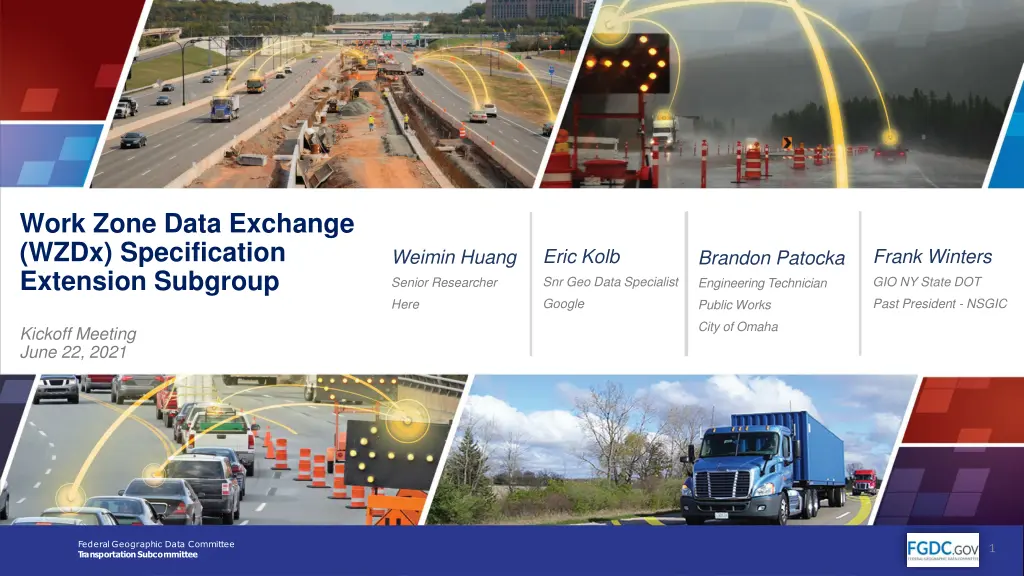
Work Zone Data Exchange (WZDx) Specification Extension Subgroup Eric Kolb Frank Winters Weimin Huang Brandon Patocka Snr Geo Data Specialist GIO NY State DOT Senior Researcher Engineering Technician Google Past President - NSGIC Here Public Works City of Omaha Kickoff Meeting June 22, 2021 Federal Geographic Data Committee TransportationSubcommittee 1 https://www.transportation.gov/av/data/wzdx
Purpose of Todays Session Objectives: Sign-in and Welcome Co-Chair Introductions Review Extension Candidates Next Steps Discussion Note: This meeting is being recorded. 2 https://www.transportation.gov/av/data/wzdx
Co-Chairs Introduction Brandon Patocka Engineering Technician, Public Works, City of Omaha Weimin Huang Senior Researcher Here Eric Kolb Senior Geo Data Analyst - Google Frank Winters Geospatial Information Officer New York State DOT Past President National States Geographic Information Council (NSGIC) 3 https://www.transportation.gov/av/data/wzdx
Extension Candidates 4 https://www.transportation.gov/av/data/wzdx
Extension Candidate Focus This Iteration #270: Add Incident Event Type #276: Add Disasters Enumeration #277: Add Special Events Enumeration #285: Add Winds Enumeration #299: Add Accident and Incident Enumerations #300: Add Polygon Geometry Type #269: Add event_cause to Restriction Event #264: Add Vehicle Impact to Restriction Event Candidate Features Seasonal Use Road Pavement Condition Draw Bridge Reversable Lane School Zone School Crossings Appropriate Vehicle (4WD, Non-Motorized) Evacuation Routes HazMat Routes
#270 Add Incident EventType Similar to Work Zone Data Events 3 Exceptions: Drops types_of_work, Optional end_date, Adds incident_type How Different than WorkZone or Restriction Events No Road Work Being Performed Restrictions are persistent Locates and describes crashes, incidents, or events How Different than TMDD? GeoJSON is readily consumed by mapping software WZDx s IncidentRoadEvent are more accessible Ability to indicate workers present 6 https://www.transportation.gov/av/data/wzdx
Add new Road Incident Feed Type Debate: Should we publish more than one Event Type in a Road Event Feed. E.g. Including Work Zones and Detours in the same GeoJSON Consensus: No, Don t Comingle Event Types Because were not comingling event types Need a new RoadIncidentFeed Type to serve IncidentRoadEvents 7 https://www.transportation.gov/av/data/wzdx
Add incident_type Enumerations The incident_type property is populated using enumerations from the TMDD #299: Accidents and Incidents #276: Disasters Enumeration #277: Special Events Enumeration #285: Winds Enumeration 8 https://www.transportation.gov/av/data/wzdx
Issue #299: Add Accidents & Incidents Enumeration accident serious accident injury accident minor accident multi vehicle accident numerous accidents accident involving a bicycle accident involving a bus accident involving a motorcycle accident involving a pedestrian accident involving a train accident involving a truck accident involving a semi trailer accident involving hazardous materials earlier accident medical emergency secondary accident rescue and recovery work REMOVED accident investigation work incident stalled vehicle abandoned vehicle disabled vehicle disabled truck disabled semi trailer disabled bus disabled train vehicle spun out vehicle on fire vehicle in water vehicles slowing to look at accident jackknifed semi trailer jackknifed trailer home jackknifed trailer spillage occurring from moving vehicle acid spill chemical spill fuel spill hazardous materials spill oil spill spilled load toxic spill overturned vehicle overturned truck overturned semi trailer overturned bus derailed train stuck vehicle truck stuck under bridge bus stuck under bridge accident cleared incident cleared 9 https://www.transportation.gov/av/data/wzdx
Issue #276: Add Disasters Enumeration flash flood major flood reservoir failure levee failure tsunami tidal wave volcanic eruption ash fall lava flow serious fire forest fire wildfire building fire brush fire grass fire fire danger extreme fire danger very high fire danger high fire danger medium fire danger low earthquake damage air crash rail crash toxic release toxic leak radioactive release radiation hazard reactor leakage explosion major hazardous materials fire 10 https://www.transportation.gov/av/data/wzdx
Issue # 277: Add Special Events Enumeration major event Airshow hot air ballooning concert state occasion VIP visit show festival exhibition performing arts outdoor market fair carnival fireworks display trade expo movie filming presidential visit parade procession funeral procession crowd holiday traffic crowds event ended 11 https://www.transportation.gov/av/data/wzdx
Issue #285: Add Winds Enumeration tornado hurricane hurricane force winds tropical storm gale force winds storm force winds strong winds moderate winds light winds calm gusty winds crosswinds windy strong winds have eased strong wind forecast withdrawn 12 https://www.transportation.gov/av/data/wzdx
Issue #300: Allow Polygon Geometry Type Data consumers can use polygons to mark roads within an area as closed or restricted due to events or incidents. Removes the administrative burden No need to mark individual roads as closed or restricted Consumer Uses Publisher s Polygon to Indicate Road Status E.g. All roads within this polygon are closed. Use Case: Art Festivals, City Marathons, 4th of July 13 https://www.transportation.gov/av/data/wzdx
Rescinding #269 and # 264 Addressed in issue #270 14 https://www.transportation.gov/av/data/wzdx
Next Steps Comment Period Ends on May 9th - Please Review Proposals Start writing pull requests on May 10th Vote at end of cycle 15 https://www.transportation.gov/av/data/wzdx
Questions and Discussion 16 https://www.transportation.gov/av/data/wzdx
Resources To learn more and access available resources, please visit: WZDx Version 3.1 Specification WZDx GitHub Wiki (Day-to-Day SubgroupActivities) WZDx TechnicalAssistance Discussions WZDx T echnicalAssistance Help Desk WZDx Data Feed Registry FHWAWZDI Data Dictionary and Framework V2X Mapping Tool CARMA For more information on the WZDx project or anything else related to the Work Zone Data Working Group, contact AVDX@dot.gov. 17 https://www.transportation.gov/av/data/wzdx