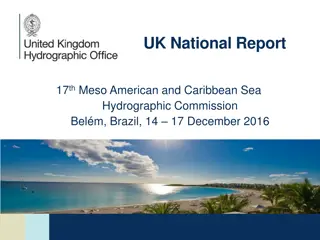
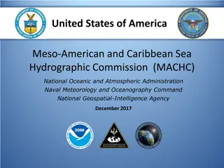
United Kingdom's Report on Meso-American-Caribbean Sea Hydrographic Commission
United Kingdom's national report on the 25th Conference of the Meso-American-Caribbean Sea Hydrographic Commission highlights achievements in capacity building, challenges in technology integration and data collection, and future plans for digital publications and survey support in the region.

Download Presentation

Please find below an Image/Link to download the presentation.
The content on the website is provided AS IS for your information and personal use only. It may not be sold, licensed, or shared on other websites without obtaining consent from the author.If you encounter any issues during the download, it is possible that the publisher has removed the file from their server.
You are allowed to download the files provided on this website for personal or commercial use, subject to the condition that they are used lawfully. All files are the property of their respective owners.
The content on the website is provided AS IS for your information and personal use only. It may not be sold, licensed, or shared on other websites without obtaining consent from the author.
E N D
Presentation Transcript
25thConference of the Meso American - Caribbean Sea Hydrographic Commission National Report by The United Kingdom
Top Achievements During the Year - Capacity Building - Ongoing Support: Increased training and knowledge-sharing initiatives, such as the IHO-Nippon Foundation GEOMAC project, which is currently training participants from Cuba and Venezuela at UKHO. Establishment of UK Improving Gender Balance Fund to support women who are working to advance their careers, including their progression to leadership roles in the hydrographic sector. Ongoing capacity building support to the UK Overseas Territories, including the delivery of a Hydrographic Governance course at UKHO - Delivery of Regional Gridded Band 2 ENC Scheme: In addition to managing its comprehensive paper chart, ENC and publications portfolio, the UK has reschemed its regional Band 2 ENC coverage to follow a consistent gridded format, in preparation for S-100 - CSB Policy - Agreed: While CSB is supported in certain zones (territorial sea, EEZ), the UK restricts CSB in internal waters to maintain data accuracy and quality, only permitting single- beam echo sounder data for national areas 2
Top Challenges and/or Obstructions - Technology Integration: Adjusting operations to meet S-100 and new ECDIS standards, requiring close work with partner Hydrographic Offices, ports, manufacturers and service providers to ensure smooth integration. The growing volume of hydrographic data presents storage and processing challenges. Open-data initiatives aim to share survey data for broader applications, but regulatory and privacy concerns remain - Data Collection and Maintenance: Data relies on collaboration with local authorities in territories where the UKHO holds charting responsibility. Always need more survey data and looking to develop a smarter and faster process - Skill Shortages: Attracting new talent to hydrography remains a challenge. With a shift towards digital skills like data analysis and AI, there is a growing need for training programmes that address this evolving skill set 3
Top Plans that Affect the Region - Digital Publications - Sailing Directions: We are developing an updated ADMIRALTY Digital Sailing Directions; expected to improve navigation data accessibility and user experience - PCA survey support: We plan to purchase shallow-water MBES survey equipment and associated software licences for loan to PCA countries to support with seabed mapping - Development of an ADMIRALTY Virtual Ports Product: We are turning our Digital Twin concept into a product that will be of substantive value to the mariner; engagement with some regional nations to gain permission to use data in this product 4