Utilizing ABI Bands for Weather Analysis
Learn about the significance of ABI bands 1-6 in meteorological satellite imaging, focusing on the 1.61µm wavelength for detecting ice, water droplets, fires, and more. Understand why the Snow/Ice band with 1.0-km resolution is crucial for differentiating cloud, snow, and ice, identifying night-time fires, and inferring cloud phase and aerosol presence. Discover how the 1.61µm wavelength aids in various meteorological analyses and product derivations.

Download Presentation

Please find below an Image/Link to download the presentation.
The content on the website is provided AS IS for your information and personal use only. It may not be sold, licensed, or shared on other websites without obtaining consent from the author.If you encounter any issues during the download, it is possible that the publisher has removed the file from their server.
You are allowed to download the files provided on this website for personal or commercial use, subject to the condition that they are used lawfully. All files are the property of their respective owners.
The content on the website is provided AS IS for your information and personal use only. It may not be sold, licensed, or shared on other websites without obtaining consent from the author.
E N D
Presentation Transcript
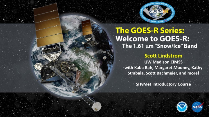
Scott Lindstrom UW Madison CIMSS with Kaba Bah, Margaret Mooney, Kathy Strabala, Scott Bachmeier, and more! SHyMet Introductory Course
ABI: Bands 1-6 (Visible / NearIR) ABI Band Wavelength ( m) Sub-point pixel spacing (km) Wavelength range ( m) Descriptive Name 1 0.47 0.45 - 0.49 1 Blue 2 0.64 0.60 - 0.68 0.5 Red 3 0.864 0.847 - 0.882 1 Veggie 4 1.373 1.366 - 1.380 2 Cirrus 5 1.61 1.59 - 1.63 1 Snow/Ice 6 2.24 2.22 -2.27 2 Cloud Particle Size Six visible or near visible bands on ABI (there was only one on heritage imager) Cooperative Institute for Meteorological Satellite Studies University of Wisconsin - Madison
Shows very large difference between how ice and water droplets absorbs energy with a wavelength of 1.61um . 1 2 Transmittance 0.47 m 0.64 m 6 3 4 5 Transmittance 0.86 m 1.38 m 2.2 m 1.61 m Cooperative Institute for Meteorological Satellite Studies University of Wisconsin - Madison
Why use the Snow/Ice Band 1.0-km, spatial resolution. Excellent for revealing daytime features such as: Discrimination between cloud, snow and ice (useful for aircraft routing) . Water droplets, which are highly reflective at 1.61um (appears bright). Ice, which absorbs radiation at 1.61um (appears dark). Above anvil cirrus plumes Detecting night time fires. Can be used to infer cloud phase as well as land/water contrast. Information from 1.61 m can be very helpful in deriving products relating to snow & cloud cover, aerosol detection, aerosol optical depth, smoke detection and clear sky masks. Cooperative Institute for Meteorological Satellite Studies University of Wisconsin - Madison
The 1.61 m can be used to identify Above-anvil cirrus plumes. Cooperative Institute for Meteorological Satellite Studies University of Wisconsin - Madison
The 1.61 m can be used to detecting fires at night. Cooperative Institute for Meteorological Satellite Studies University of Wisconsin - Madison
Why use the Snow/Ice Band 1.0-km spatial resolution. Very efficient for cloud, snow and Ice discrimination. Excellent land/ water boundary contrast. Can be used to identify the following: Above-anvil snow plumes Detecting night time fires Sand Haze Dust Information from 1.61 m is critical for multiple level 2 products including aerosol detection, snow cover and reflected shortwave radiation TOA. Cooperative Institute for Meteorological Satellite Studies University of Wisconsin - Madison
Thank you For more information visit www.goes-r.gov -- or find your favorite social media link below www.facebook.com/GOESRsatellite www.youtube.com/user/NOAASatellites twitter.com/NOAASatellites www.flickr.com/photos/noaasatellites

")