Western States Air Quality Study: Emissions Data and Analysis
This study focuses on modeling and analyzing oil & gas emissions data in the Intermountain West region, presented at the Western Air Quality Modeling Workshop. It includes inventories of upstream sectors primarily intended for oil and natural gas production, covering well-site through midstream sources. The study provides insights into emissions estimates, source categories, and coverage gaps in different states, highlighting the importance of understanding and managing emissions from permitted sources.

Download Presentation

Please find below an Image/Link to download the presentation.
The content on the website is provided AS IS for your information and personal use only. It may not be sold, licensed, or shared on other websites without obtaining consent from the author.If you encounter any issues during the download, it is possible that the publisher has removed the file from their server.
You are allowed to download the files provided on this website for personal or commercial use, subject to the condition that they are used lawfully. All files are the property of their respective owners.
The content on the website is provided AS IS for your information and personal use only. It may not be sold, licensed, or shared on other websites without obtaining consent from the author.
E N D
Presentation Transcript
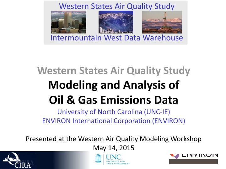
Western States Air Quality Study Intermountain West Data Warehouse Western States Air Quality Study Modeling and Analysis of Oil & Gas Emissions Data University of North Carolina (UNC-IE) ENVIRON International Corporation (ENVIRON) Presented at the Western Air Quality Modeling Workshop May 14, 2015
WSAQS 2011 O&G Wells Summary WSAQS O&G Emissions Inventory and Data O&G Emissions Modeling and Evaluation 2
EXAMPLE OF UPSTREAM SECTOR WHERE THE WELLS ARE PRIMARILY INTENDED TO PRODUCE OIL (LIQUID HYDROCARBONS) Transmission Storage & Distribution Production Processing Drilling & Completion Gas Treating Facilities Gas Exporting Facilities Oil & Gas Distribution Gathering Separation & Distribution Oil Exporting Facilities Oil Refineries Pumpjack Water Handling Including Steam Injection (Water, Steam, Gas) WRAP inventories cover upstream and midstream from well to inlet of a refinery
EXAMPLE OF UPSTREAM SECTOR WHERE THE WELLS ARE PRIMARILY INTENDED TO PRODUCE NATURAL GAS Transmission, Storage & Distribution Exploration Production Processing Compressor Stations Drilling & Completion Separator Gas Plant Distribution Engine C Compressor Stations Gas LNG C Liquids Liquids to Distribution Well Underground Storage WRAP inventories cover upstream and midstream from well to outlet of a gas plant
WSAQS O&G Inventories First phase: 2011 emissions estimates Include well-site through midstream sources Require both survey data and point source data from state permit Varies by state Colorado and Wyoming provide detailed databases for most emission sources For Utah and New Mexico most sources estimated from surveys Based on projections of 2006 survey data 2006 2008 2011 Depending on the state, midstream sources often not adequately covered (if based on surveys) Best-understood emissions are from permitted sources
WSAQS O&G Inventories Second phase: Assemble inputs for 2014 emissions Increase coverage of source categories Include tribal minor source data for midstream sources and some well- site sources More information on episodic events (liquids unloading, upsets, blowdowns) In Utah, New Mexico and Colorado conduct new well-site surveys Previous surveys are out of date over 8 years old Improve geographic resolution Break basins into various sub-basin regions by formation or field More resolution on activities and source types by formation/field More resolution on gas compositions by formation/field
WSAQS O&G Inventories Basins in First Phase 2011 emissions Linear growth and controls since 2006 base year with full survey, permit, and production analysis, including intermediate 2008 data Big Horn (WY, MT) Oil and gas Denver-Julesberg (CO) Oil and gas North San Juan (CO) Oil, gas, and CBM Paradox (CO, UT) Mostly oil Piceance (CO) Oil, gas, and CBM Powder River (WY, MT) Oil, gas, and CBM Raton (CO, NM) Gas and CBM Southwest Wyoming (WY) Oil, gas, and CBM South San Juan (CO, NM) Oil, gas, and CBM Uintah (UT) Oil, gas and CBM Wind River (WY) Oil, gas, and CBM
WSAQS O&G Inventories Basins in Second Phase 2011 and 2014 emissions Largest of first phase basins in each state Full survey, permit, and production analysis Great Plains (MT) Oil and gas Williston (MT, ND, SD) Oil and gas Full survey, permit and production analysis Permian (NM, TX) - Oil and gas Growth and control since 2008 base year
WSAQS O&G Inventories NEI2011v1 and v2 are used for the production emissions outside of the project inventories Reconciliation between the NEI and project inventories is not easy O&G sources are included in the NEI non-O&G inventory sectors Non-O&G sources are included in the NEI O&G inventory sectors Engines are not coded to be specific to O&G production Ambiguity in the midstream sources
WSAQS O&G Inventories Survey-based Permitted VOC 2011 First Phase Inventory Permitted sources Generally point source inventories with coordinates and stack information Smaller sources are carried as area sources Survey-based sources Non-point/area sources (county totals) Survey-based Permitted NOx
WSAQS O&G Inventories Permitted Sources in 2011 First Phase CO UT WY VOC NOx
WSAQS O&G Inventories Survey-Based Sources in 2011 First Phase CO UT WY VOC NOx
WSAQS O&G Emissions Modeling Spatial Surrogates Developed from well locations and production-level data within each basin Temporal Profiles Generally flat (365/24/7) VOC Chemical Speciation Basin specific profiles for produced gas Combustion source profiles (e.g. engines and flares) from SPECIATE4; need review!
Conclusions Technical methods to estimate O&G emissions for intermountain West Basins are well-documented and robust Key inputs: Production data are high quality and complete Permit and registration data, and reporting information from states and EPA are increasingly detailed and complete need analysis and assimilation Activity data for O&G resources both existing and currently being developed - production, practices, equipment, control programs all changing separately and together Assumptions about holding constant and applying historic configurations of equipment and practices to represent point and area sources into the future are not valid 14
Conclusions Technical methods to estimate O&G emissions for intermountain West Basins are well-documented and robust Challenges: Spatial distribution of survey-based area source estimates Chemical speciation of VOCs from combustion sources Timing and locations for large emissions events (i.e. recompletions and blowdowns) Evaluation of O&G emissions in air quality models is needed to improve the inventories leading to improved model performance For same reasons associated with activity mentioned previously 15