Wishkah Road Comprehensive Flood Study Project Overview
This presentation provides an overview of the Wishkah Road Comprehensive Flood Study project funded by the Chehalis River Basin Flood Authority. It includes detailed information on the study purpose, current status, upcoming planned activities, controversies, and complexities involved in the project. The study aims to reduce or eliminate flooding in the lower basin area by identifying cost-effective solutions separate from the floodwall project through various assessments and analyses.

Download Presentation

Please find below an Image/Link to download the presentation.
The content on the website is provided AS IS for your information and personal use only. It may not be sold, licensed, or shared on other websites without obtaining consent from the author.If you encounter any issues during the download, it is possible that the publisher has removed the file from their server.
You are allowed to download the files provided on this website for personal or commercial use, subject to the condition that they are used lawfully. All files are the property of their respective owners.
The content on the website is provided AS IS for your information and personal use only. It may not be sold, licensed, or shared on other websites without obtaining consent from the author.
E N D
Presentation Transcript
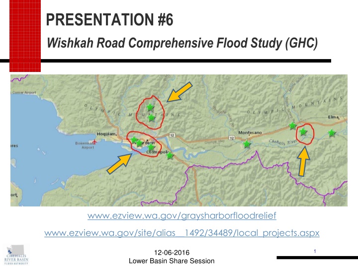
PRESENTATION #6 Wishkah Road Comprehensive Flood Study (GHC) www.ezview.wa.gov/graysharborfloodrelief www.ezview.wa.gov/site/alias__1492/34489/local_projects.aspx 12-06-2016 1 Lower Basin Share Session
Wishkah Road Comprehensive Flood Study Project Description/Overview: Study Purpose Funded by Chehalis River Basin Flood Authority Reach Scale Assessment MP 2.2 to MP 7.6 (RM 2 to 10) Reduce or Eliminate Flooding Identify Cost Effective Solutions Separate from Floodwall project 12-06-2016 2 Lower Basin Share Session
Current Status: Completed Elements Baseline Condition Assessment Flooding History & Closures Topographic (LiDAR) Data Bathymetry (Channel Survey) Hydrologic Analysis Wishkah River Flow Tidal Water Levels Hydraulic Modeling of Existing Conditions Verify Model Results 12-06-2016 3 Lower Basin Share Session
Upcoming Planned Activities: Phase 2 Alternatives Analysis Assess potential economic benefit Define Flood Reduction Alternatives Screen for Feasibility Preliminary Designs Additional Analysis Hydraulic Modeling Geotechnical Other Considerations Benefit/Cost Analysis Preferred Alternative Scope & Schedule for Final Design & Permitting 12-06-2016 4 Lower Basin Share Session
Controversies and/or Complexities: Some landowners believe there is more frequent flooding and/or deeper flooding than predicted by model & tidal data. Installing gage near Baretich Road to provide more accurate and verifiable data Residents feel strongly that intangible benefits need to be included in evaluation of projects Quantifying non-economic impact of closures is difficult Closure due to flooding could occur at same time as emergency services are required (or not) Anxiety from temporary separation from families/school/work Some feel that any remaining risk to public safety is unacceptable and projects need to be implemented regardless of economic considerations However, alternatives needs to be weighed against other high priority projects 5 12-06-2016 Lower Basin Share Session
Further Information: Lead Agency: Grays Harbor County Public Works Rob Wilson, County Engineer 360 249-4222, rwilson@co.grays-harbor.wa.us Prime Consultant: Watershed Science & Engineering Larry Karpack 206 521-3000, larry@watershedse.com Mark Indrebo 206 521-3000, mark@watershedse.com 6 12-06-2016 Lower Basin Share Session