Global High-Frequency Radar Surface Current Mapping Task
Task co-chairs from USA, Australia, and Spain leading a GEO initiative to enhance HF radar networks for surface current and wave measurements worldwide. The GEO Work Plan 2012-2015 endorses this task, aiming to establish a global HF Radar Network for data sharing and expand radar networks for ocean monitoring. The task's applications range from water quality monitoring to maritime safety and disaster detection. Accomplishments include international meetings, dedicated web pages, working groups, and webinars to drive progress in data management, applications, and deployment. Challenges include data formats, distribution, and assimilation, along with frequency management issues addressed in global meetings.

Download Presentation

Please find below an Image/Link to download the presentation.
The content on the website is provided AS IS for your information and personal use only. It may not be sold, licensed, or shared on other websites without obtaining consent from the author.If you encounter any issues during the download, it is possible that the publisher has removed the file from their server.
You are allowed to download the files provided on this website for personal or commercial use, subject to the condition that they are used lawfully. All files are the property of their respective owners.
The content on the website is provided AS IS for your information and personal use only. It may not be sold, licensed, or shared on other websites without obtaining consent from the author.
E N D
Presentation Transcript
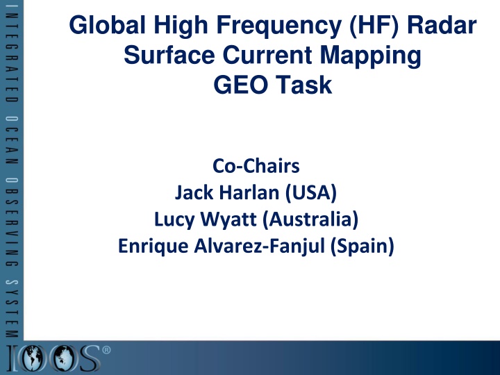
Global High Frequency (HF) Radar Surface Current Mapping GEO Task Co-Chairs Jack Harlan (USA) Lucy Wyatt (Australia) Enrique Alvarez-Fanjul (Spain)
GEO Work Plan 2012-2015 Endorses a task to plan a Global HF Radar Network for data sharing and delivery and to help expand HF radar networks for surface current and wave measurements. This GEO task is mentioned under IN-01 Earth Observing Systems SB-01 Oceans and Society: Blue Planet
There are 89 entities in the Group on Earth Observations 72 countries have a salty coast 35 of those countries have High Frequency radars on their coastline Approximately 410 radars worldwide
Type of Applications Applica on? Stories? of? HF? radar? ? Recrea on? Water? Quality? Green? Energy? Fisheries? Bouy? Tracking? Mari me? Safety/Opera on? Tsunami/Typhoon/Hurricane? Detec on? Beach? Closures? Search? and? Rescue? Oil? Spill/? Pollu on? Circula on? 0? 2? 4? 6? 8? 10? 12? 14? 16? 18? 20?
Accomplishments Two International Meetings (London 2012, Bergen 2013) Dedicated Web Page http://www.ioos.noaa.gov/globalhfr/welcome.html Established Three Working Groups 1. Data Management 2. Applications 3. Deployment Held Two Webinars 1. Data management (April 2013) 2. Applications (June 2013)
Bergen 2013 Meeting Ireland Korea Malta Morocco Norway Saudi Arabia Spain United Kingdom USA ~30 Attendees from 14 nations Australia Canada France Germany Indonesia All 3 topics discussed Additional discussion of international radio frequency management (ITU Working Party 5B, May 2013) 6
Synergies & Challenges Synergies WRC frequency allocations Data file formats Challenges Data file formats Data distribution and exchange Data assimilation into operational models Frequency synchronization
Questions? Jack Harlan Jack.harlan@noaa.gov Lucy Wyatt lucy.wyatt@jcu.edu.au Enrique Alvarez enrique@puertos.es http://www.ioos.noaa.gov/globalhfr/welcome.html 8
 Radar")