Modernizing the U.S. National Spatial Reference System
Learn about the ongoing modernization of the U.S. National Spatial Reference System (NSRS) and its impacts on geospatial data providers and users. Explore the changes, tools, and applications of the updated system. Join the discussion at the American Geophysical Union 2024 Annual Meeting.

Download Presentation

Please find below an Image/Link to download the presentation.
The content on the website is provided AS IS for your information and personal use only. It may not be sold, licensed, or shared on other websites without obtaining consent from the author. If you encounter any issues during the download, it is possible that the publisher has removed the file from their server.
You are allowed to download the files provided on this website for personal or commercial use, subject to the condition that they are used lawfully. All files are the property of their respective owners.
The content on the website is provided AS IS for your information and personal use only. It may not be sold, licensed, or shared on other websites without obtaining consent from the author.
E N D
Presentation Transcript
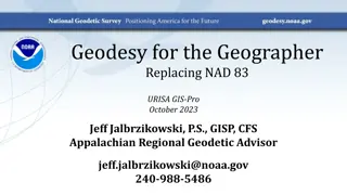
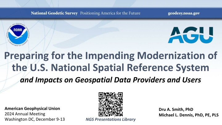
Preparing for the Impending Modernization of the U.S. National Spatial Reference System and Impacts on Geospatial Data Providers and Users American Geophysical Union 2024 Annual Meeting Washington DC, December 9-13 Dru A. Smith, PhD Michael L. Dennis, PhD, PE, PLS NGS Presentations Library
The National Spatial Reference System The NSRS Official coordinate system for the USA Defined by the National Geodetic Survey Required to be used by all Federal Government agencies Often used by many state and local government agencies or private surveyors December 11, 2024 AGU24 2
Extent of the current NSRS Geometric Reference Frames: NAD 83(2011) NAD 83(PA11) NAD 83(MA11) Truly global but used regionally Geoid models/Vertical Datums: Regional Conterminous US (CONUS; Lower 48 ) Alaska Hawaii Territories: Puerto Rico, U.S. Virgin Islands, American Samoa, Guam, CNM December 11, 2024 AGU24 3
NSRS Modernization Has been ongoing since 2007 This talk presumes some existing knowledge of NSRS Modernization. For finer details look here: NGS Presentation Library (https://geodesy.noaa.gov/web/science_edu/presentations_library/) NGS New Datums Page (https://geodesy.noaa.gov/datums/newdatums/index.shtml) The Blueprint Documents (https://geodesy.noaa.gov/datums/newdatums/policy.shtml) December 11, 2024 AGU24 4
NSRS Modernization in (very) brief NATRF2022 NAD 83(2011) NAD 83(PA11) NAD 83(MA11) PATRF2022 Hybrid geoids GEOID2022 CATRF2022 MATRF2022 NAVD 88 ASVD 02 NAPGD2022 PRVD 02 NMVD 03 GUVD 04 Bluebooking FORTRAN Disparate tools Outdated manuals GDX / OPUS Modern coding Integrated tools Updated manuals VIVD 09 December 11, 2024 AGU24 5
Modernized NSRS Tools and Applications Data Delivery System Serves as public access to NSRS Database (replaces NGS Integrated Data Base) Detailed information on National CORS Network stations Reference Epoch Coordinates and other information on geodetic control marks Online Positioning User Service (OPUS) GNSS baseline processing and network adjustments Mechanism for submitting geodetic control observations to NGS NGS Coordinate Conversion and Transformation Tool (NCAT) Conversion between coordinate types (e.g., map projected, ellipsoidal, geocentric) Transformation between reference frames, geopotential datums, height systems Time projection ( propagation ) between different dates (epochs) December 11, 2024 AGU24 6
Data Delivery System: CORS stations OLD December 11, 2024 AGU24 7
Data Delivery System: Geodetic control marks OLD AGU24 8
Online Positioning User Service (OPUS) OPUS-Static: singles mark positioned from multiple CORSs M-PAGES: Multi-constellation GNSS Optimized CORS selection algorithm OPUS-Projects: multiple-mark (campaign-style) GNSS projects SPROCCET / 14H Software for PRojecting Observations, Constraints and Cofactor matrices/Errors through Time 14H = 14-parameter Helmert transformations Project and transform observations to common frame and time (epoch) for network adjustments Replaces Horizontal Time-Dependent Positioning (HTDP) software LASER Least-squares Adjustments: Statistics, Estimates, and Residuals Least-squares adjustment (LSA) software for wide variety of geodetic observations Replaces multiple LSA programs used by NGS December 11, 2024 AGU24 9
NGS Coord Conversion & Transformation Tool (NCAT) State Plane Coordinate System of 2022 Intra-Frame Deformation Model of 2022 (IFDM2022) Helmert transformations between reference frames (14H) GEOID2022 NADCON and VERTCON December 11, 2024 AGU24 10
NSRS Modernization is nearly done! Beta releases (for testing and evaluation only!) Begin early 2025 with NCAT (includes SPCS2022, IFDM2022, 14H, GEOID2022) End late 2025 (last beta release likely will be adding VERTCON to NCAT) Replaces current datums in 2026 At least 6 months after last item added to beta release After Federal Geodetic Control Subcommittee votes to approve in 2026 NGS Presentations Thank you! Library Questions? Comments? December 11, 2024 AGU24 11


 brief")


")
")