Practical Geospatial Metadata Standards and Infrastructure in GIS Training
"Enhance your skills in geospatial metadata standards and infrastructure through a practical session on GIS training for spatial planning at the Ministry of Transport in Maputo, Mozambique. Learn how to view, edit, and export metadata while creating standard-compliant information. Hands-on guidance provided from 2nd to 13th July 2018."
Download Presentation

Please find below an Image/Link to download the presentation.
The content on the website is provided AS IS for your information and personal use only. It may not be sold, licensed, or shared on other websites without obtaining consent from the author. If you encounter any issues during the download, it is possible that the publisher has removed the file from their server.
You are allowed to download the files provided on this website for personal or commercial use, subject to the condition that they are used lawfully. All files are the property of their respective owners.
The content on the website is provided AS IS for your information and personal use only. It may not be sold, licensed, or shared on other websites without obtaining consent from the author.
E N D
Presentation Transcript
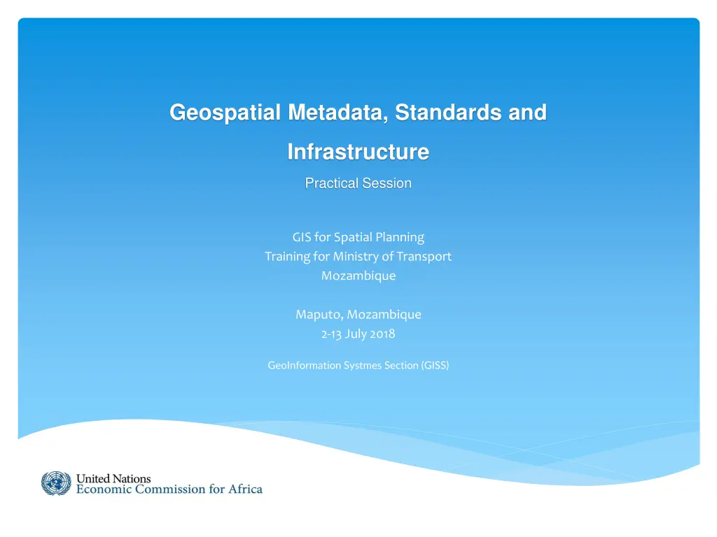
Geospatial Metadata, Standards and Infrastructure Practical Session GIS for Spatial Planning Training for Ministry of Transport Mozambique Maputo, Mozambique 2-13 July 2018 GeoInformation Systmes Section (GISS)
Viewing metadata An ArcGIS item's metadata can be viewed in the Description tab. In ArcCatalog click on SampleData_Point_of _Interest feature class in Catalog Tree > Select the Description tab.
Choosing a metadata style Select Item Description for a Metadata Style.
Editing metadata After viewing an item's metadata, you can start editing it if you have permission to do so you'll see the Edit button in the Description tab. Click Edit.
Editing metadata Adding thumbnail image. 1. Click on Update button. 2. Browse to D:\Exercise Data\POI_thumbnail.jpg 3. Click Open.
Exporting metadata 1. Click on Export button.
Exporting metadata 2. Select Translator file which is provided with ArcGIS for Desktop can be found in the <ArcGIS Installation Location>\Metadata\Translator folder. 3. Select Output File location. 4. Click OK.


