Transportation Subcommittee Update - Enhancing NSDI Data Development
Enhancing the Transportation Theme of the NSDI Data Development to Facilitate Partnerships, Coordinate Efforts, and Eliminate Duplicity. The Subcommittee focuses on Problem Identification, Evaluation, Resolution, Standards Development, and Promoting Best Practices through various Members and Partners in the transportation field.

Download Presentation

Please find below an Image/Link to download the presentation.
The content on the website is provided AS IS for your information and personal use only. It may not be sold, licensed, or shared on other websites without obtaining consent from the author.If you encounter any issues during the download, it is possible that the publisher has removed the file from their server.
You are allowed to download the files provided on this website for personal or commercial use, subject to the condition that they are used lawfully. All files are the property of their respective owners.
The content on the website is provided AS IS for your information and personal use only. It may not be sold, licensed, or shared on other websites without obtaining consent from the author.
E N D
Presentation Transcript
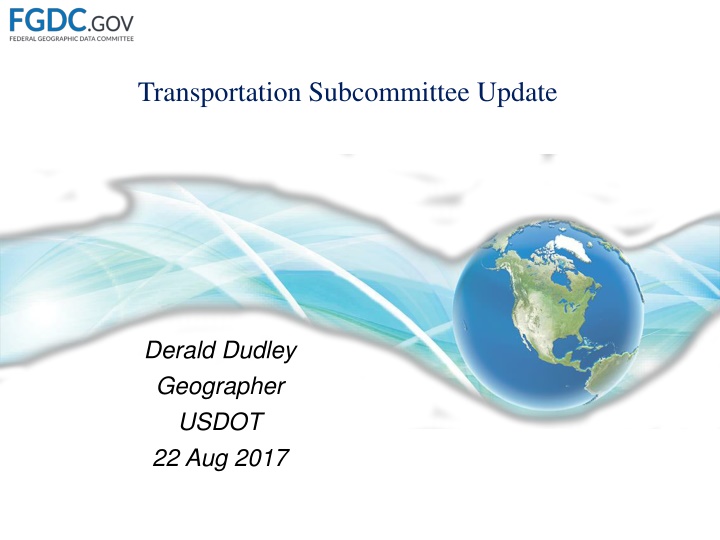
Transportation Subcommittee Update Derald Dudley Geographer USDOT 22 Aug 2017
Mission Enhancing the Transportation Theme of the NSDI Data Development Better Data Ease Access Greater Understanding Facilitate Partnerships, Coordinate Efforts, Eliminate Duplicity Problem Identification, Evaluation, Resolution Standards Development Data Standards Identifying, Documenting and Promoting Best Practices Chair, Derald Dudley, Bureau of Transportation Statistics Co-Chair, Ronald Vaughn, Federal Highway Administration
Members Dept. of Interior Army Corps of Engineers Fish and Wildlife Service National Park Service Dept. of Agriculture Forest Service United States Geological Survey Dept. of Transportation Bureau of Transportation Statistics Federal Aviation Administration Federal Highway Administration Federal Motor Carrier Safety Administration Federal Railroad Administration Federal Transit Administration Maritime Administration Office of the Secretary of Transportation National Highway Traffic Safety Administration Pipeline and Hazardous Materials Safety Administration Dept. of Veteran Affairs Environmental Protection Agency (EPA) Dept. of Commerce Census Bureau National Oceanic and Atmospheric Administration Dept. of Defense National Geospatial-Intelligence Agency Dept. of Education Dept. of Health & Human Services Centers for Disease Control and Prevention Indian Health Service National Institutes of Health Dept. of Homeland Security Dept. of Housing and Urban Development General Services Administration (GSA) Small Business Administration (SBA)
Partners National States Geographic Information Council (NSGIC) Private Sector Applied Geographics ESRI Parsons Brinckerhoff State Departments of Transportation (DOTs) Arizona Dept. of Transportation Arkansas Dept. of Transportation District Dept. of Transportation Mississippi Dept. of Transportation North Carolina Dept. of Transportation West Virginia Dept. of Transportation Transportation Research Board (TRB) Washington Metropolitan Area Transit Authority (WMATA)
NGDA Data Themes and Data Sets Airports and Runways U.S. Department of Transportation | Dataset Manager: Steve Brisbon Inland Electronic Navigation Charts, Locks, Ports, Waterways U.S. Army Corps of Engineers | Dataset Managers: Shaku Jain and Robert Mann Intermodal Freight U.S. Department of Transportation | Dataset Manager: Dominic Menegus Intermodal Passenger Travel U.S. Department of Transportation | Dataset Manager: Theresa Firestine National Bridge Inventory U.S. Department of Transportation | Dataset Manager: Samantha Lubkin Rail U.S. Department of Transportation | Dataset Manager: Raquel Hunt Roads, and Traffic Analysis Zones Census | Dataset Manager: Michael Fournier Transit U.S. Department of Transportation | Dataset Manager: Derald Dudley
14 February 2017 TSC Meeting Topics: 2017 Meeting Schedule US Road Network (USRN) - Minimum Content Guideline (MCG) TSC Charter Update Discussion of FGDC Subcommittee and Geoplatform pages Outcomes: Set goal of 12 webinars/meetings for 2017 The Minimum Content Guideline efforts would take a higher priority. Requested comments for the TSC Charter update
24 March 2017 TSC Meeting Topics: FHWA provided an overview of the ARNOLD (All Roads Network of Linear Referenced Data) geospatial network. US Road Network (USRN) Minimum Content Guideline (MCG) Development Approach Outcomes Monthly USRN-MCG Working Group (WG) meetings to be held Additional MCG WG participation to be solicited via email DOI Agency members and partners to be canvassed for presentation for the next TSC meeting. Possibly add a TSC Calendar of events to the TSC webpage
11 April 2017 USRN MCG Meeting Topics: USRN MCG Development Objectives State DOT (AZ, DC, NC) Perspectives on MCG Considerations Nominate Chair and Co-Chair of the WG Outcomes: AZDOT, ARDOT, and NCDOT presented their pertinent attributes and schemas Decided to author a list of use-cases for the MCG. The use cases are being used to develop a list of attributes for the MCG The attributes will be accessed for inclusion into the MCG Chairman (Tom Roff, FHWA) and Co-Chair (Sharon Hawkins, ARDOT) elected
9 May 2017 USRN-MCG Meeting Topics: Use Case Review Do theses events sit on top of ARNOLD Outcomes: Breakdown larger use cases into smaller components Define the use cases states have in common Consider Cartographic Labelling as a use case Start with the Highway Performance and Monitoring System s field manual to identify attributes for the Inventory use case Add AppGeo s studies to the source material Associate attributes to each use case to identify commonalities How do we define which are essential to the USRN-MCG
22 May 2017 USRN-MCG Meeting Topics: Purpose, Review of MCG Strategy Status Update Outcomes: USRN WG reviewed and categorized the MCG Use Cases Most Common Categories were Inventory, Planning, and Safety Inventory attributes will be presented to the TSC for review and acceptance After each iteration of attribute acceptance the TSC will assess if there is sufficient information to publish the MCG If not, the process will continue.
7 June 2017 TSC Meeting Topics: Updating the MAF/TIGER Database was presented How GATRES is used to interactively update road networks The On The Map Application was demonstrated Status of the Charter Update USRN-MCG Update CENSUS/DOT Best Practices in Identifying populations served by transportation facilities Outcome: Need to ensure we capture use cases from organizations not at the GIS-T conference Need to capture cartographic use cases
19 July 2017 TSC Meeting Topics: National Transit Map Intermodal Passenger Connectivity Database Transportation Deserts USRN-MCG Update Best practices in Identifying Populations Served by Transportation Facilities Charter Update Status Outcome: Adopted the USRN-MCG Name Topographic Mapping Use Case was Added Census Added the Roads on Federal Lands Use Case Best practices abstract is being written and will be submitted to the TSC
Recent Developments/Projects Continue to support the Maturity Assessments of the Transportation NGDAs Continue TSC and USRN meetings Alternating every other month USRN Use Case Scenarios (Draft) Inventory Use Case - MCG Attributes (In Development) TSC Charter Review/Update Final Draft
Coordination Group Vote No items requiring a vote Forthcoming: Acceptance of the Revised Charter
Next Meeting 9/15/2017 at the US Department Of Transportation Also available via https://connectdot.connectsolutions.com/fgdc_tsc https://connectdot.connectsolutions.com/fgdc_tsc Some of the topics to be discussed at the next meeting include: Inland/Coastal Automatic Identification System Office of Coast Survey s Electronic Nautical Charts Dataset TSC Updates
Next Steps In the coming months, the TSC hopes to accomplish/discuss: Approval of the revised TSC charter Finalization of USRN MCG attributes for selected use case scenarios Initiate best practices paper about identifying populations served by transportation facilities
Questions? Derald Dudley USDOT/Bureau of Transportation Statistics 202.309.0940 Derald.Dudley@dot.gov